-
Old marine map from the Pointe de Trévignon to Lorient
Regular price 78,00 €Regular priceUnit price per -
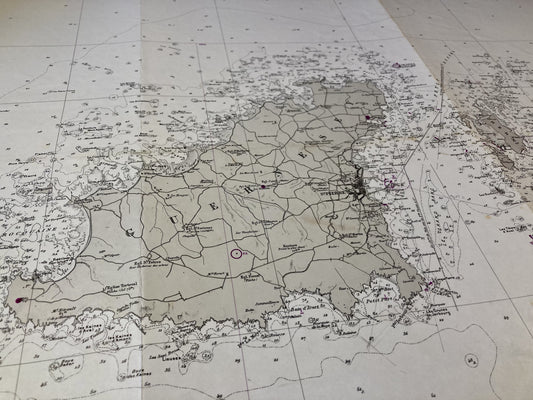
Old nautical chart of the Islands of Guernsey, Herm and Sark
Regular price 78,00 €Regular priceUnit price per -
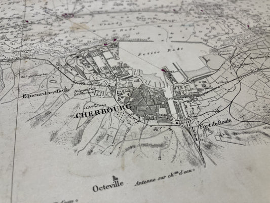
Old nautical chart from Cherbourg to La Hougue
Regular price 78,00 €Regular priceUnit price per -
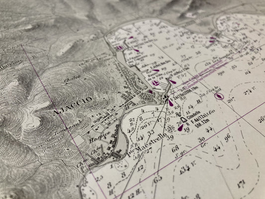
Old nautical chart of the Gulf of Ajaccio
Regular price 78,00 €Regular priceUnit price per -
Old nautical chart from Île Rousse to Saint-Florent
Regular price 78,00 €Regular priceUnit price per -
Old nautical chart from Porto-Vecchio to Cape Pertusato
Regular price 78,00 €Regular priceUnit price per -
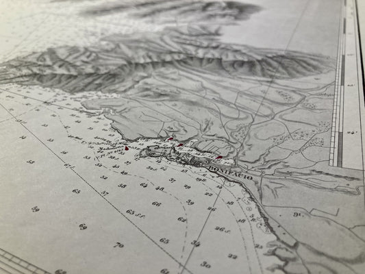
Old nautical chart from Cape Pertusato to Pointe de Sénétose
Regular price 78,00 €Regular priceUnit price per -
Old nautical chart from Cape Feno to Cape Rosso
Regular price 78,00 €Regular priceUnit price per -
Old nautical chart from Port-Bail to the Pointe de Barfleur
Regular price 78,00 €Regular priceUnit price per -
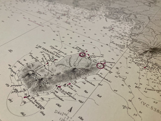
Old nautical chart of the Niger River at Cape Lopez
Regular price 84,00 €Regular priceUnit price per -
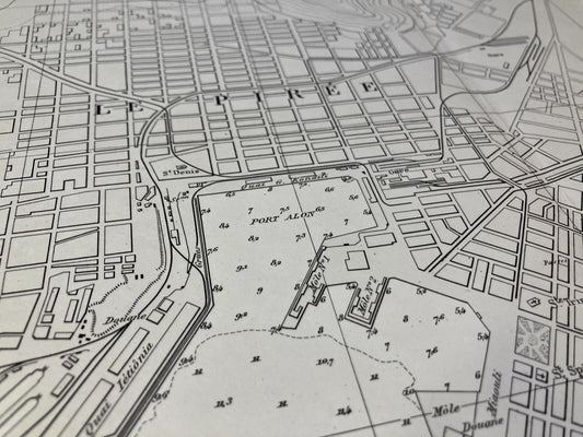
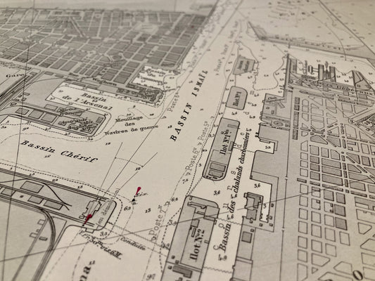
Old nautical chart of the Port of Piraeus and the Bay of Phalere
Regular price 84,00 €Regular priceUnit price per -
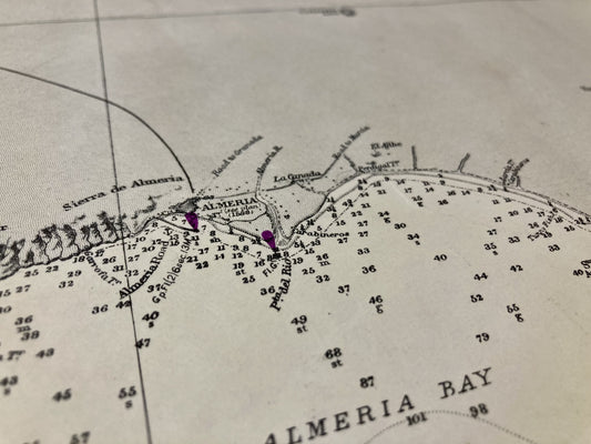
English nautical chart from Adra to Cartagena
Regular price 84,00 €Regular priceUnit price per -
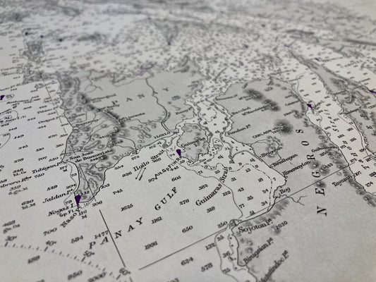
English nautical chart of the Philippines, from the Molucca Sea to Manila Bay
Regular price 84,00 €Regular priceUnit price per -
Old nautical chart of the Gulf of Saint-Tropez
Regular price 84,00 €Regular priceUnit price per -
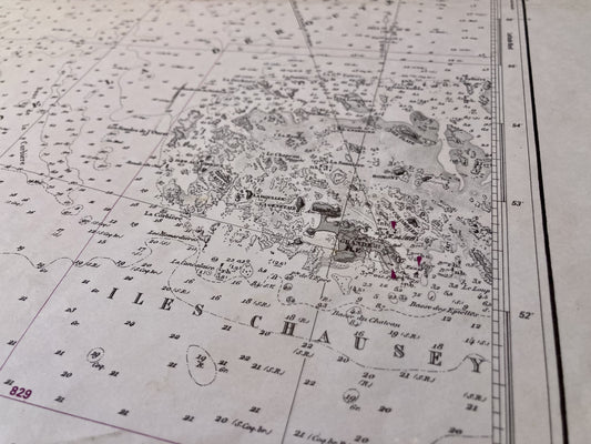
Old nautical chart of the Plateau des Minquiers
Regular price 84,00 €Regular priceUnit price per -
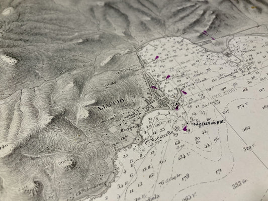
Old nautical chart of the Cap Corse Peninsula
Regular price 84,00 €Regular priceUnit price per -
Old nautical chart of the Cap Corse Peninsula
Regular price 84,00 €Regular priceUnit price per -
Old nautical chart of the South of the Cap Corse Peninsula
Regular price 84,00 €Regular priceUnit price per -
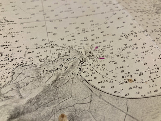
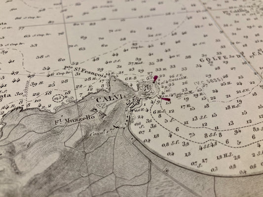
Old nautical chart from Cape Cavalo to Île Rousse
Regular price 84,00 €Regular priceUnit price per -
Old nautical chart from Cape Cavalo to Île Rousse
Regular price 84,00 €Regular priceUnit price per -
Old nautical chart from Île Rousse to Saint-Florent
Regular price 84,00 €Regular priceUnit price per -
Old nautical chart of the Gulf of Ajaccio, from Cape Muro to Cape Feno
Regular price 84,00 €Regular priceUnit price per -
Old nautical chart of the Gulf of Valinco
Regular price 84,00 €Regular priceUnit price per -
Old nautical chart of the entrance to the Suez Canal
Regular price 90,00 €Regular priceUnit price per