-
Old map of the Manche by Th. Duvotenay
Regular price 30,00 €Regular priceUnit price per -
Old map of the the Manche by A. Vuillemin
Regular price 39,60 €Regular priceUnit price per48,00 €Sale price 39,60 €Sale -
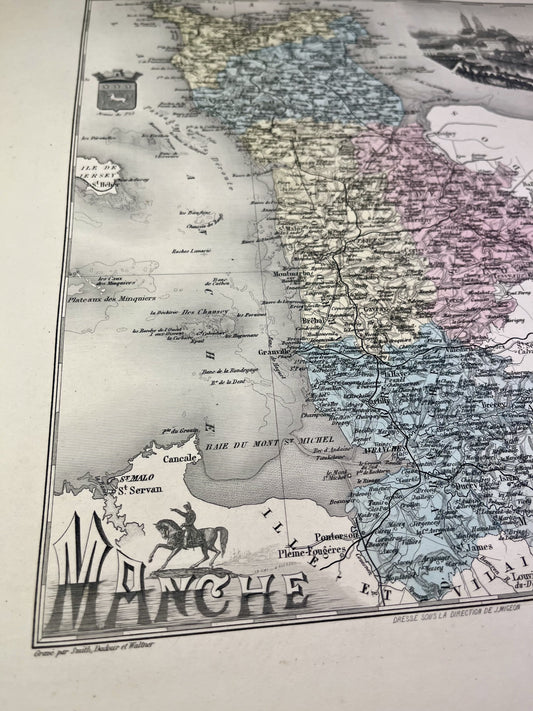
Old map of the Manche by V. Levasseur
Regular price 44,40 €Regular priceUnit price per54,00 €Sale price 44,40 €Sold out -
Old IGN map of Bricquebec and its surroundings
Regular price 54,00 €Regular priceUnit price per -
Old IGN map of Granville and its surroundings
Regular price 54,00 €Regular priceUnit price per -
Old nautical chart from Cherbourg to La Hougue
Regular price 78,00 €Regular priceUnit price per -
Old nautical chart of the entrance to the English Channel
Regular price 78,00 €Regular priceUnit price per -
Old nautical chart from Port-Bail to the Pointe de Barfleur
Regular price 78,00 €Regular priceUnit price per -
General Staff Map of Coutances and its surroundings
Regular price 120,00 €Regular priceUnit price per -
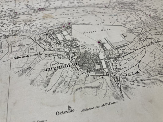
General Staff Map of Cherbourg and its surroundings
Regular price 120,00 €Regular priceUnit price per -
Cassini map of Saint-Malo and its surroundings
Regular price 156,00 €Regular priceUnit price per -
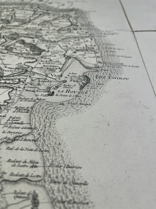
Cassini map of Saint-Vaast-la-Hougue and its surroundings
Regular price 156,00 €Regular priceUnit price per -
Cassini map of Avranches and its surroundings
Regular price 156,00 €Regular priceUnit price per -
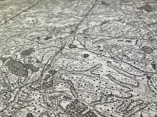
Cassini map of Caen, Bayeux and their surroundings
Regular price 156,00 €Regular priceUnit price per -
Old map of Normandy by JB. Nolin - ca. 1700
Regular price 228,00 €Regular priceUnit price per276,00 €Sale price 228,00 €Sold out