-
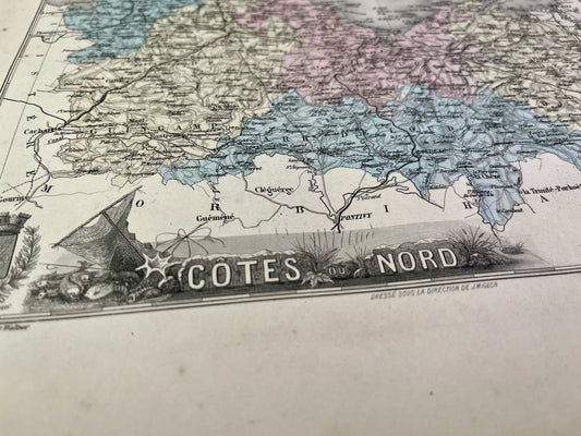
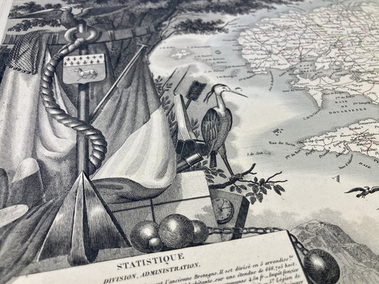
Old map of Côtes d'Armor by A. Vuillemin
Regular price 27,60 €Regular priceUnit price per36,00 €Sale price 27,60 €Sale -
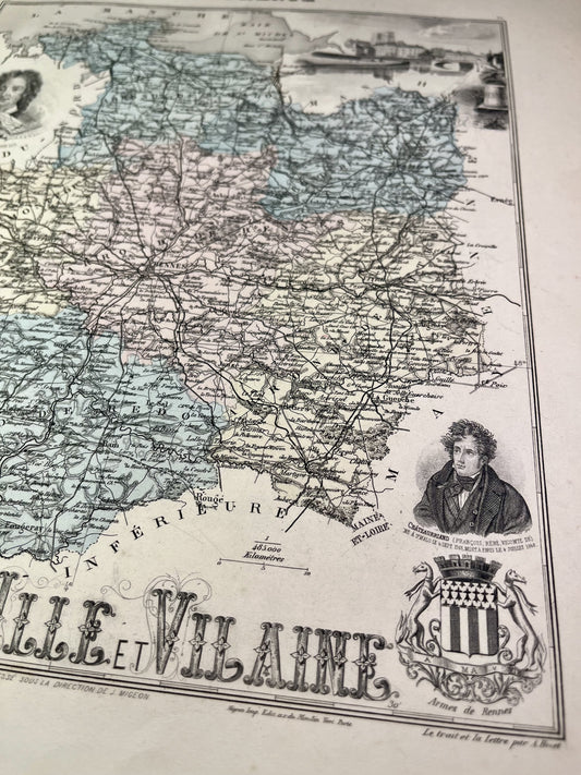
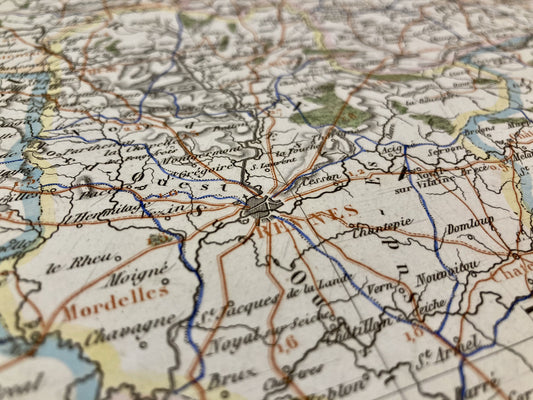
Old map of Ille-et-Vilaine by A. Vuillemin
Regular price 27,60 €Regular priceUnit price per36,00 €Sale price 27,60 €Sale -
Old map of the Côtes d'Armor by AH Dufour
Regular price 30,00 €Regular priceUnit price per -
Old map of Finistère by Th. Duvotenay
Regular price 30,00 €Regular priceUnit price per -
Old map of Ille-et-Vilaine by Th. Duvotenay
Regular price 30,00 €Regular priceUnit price per -
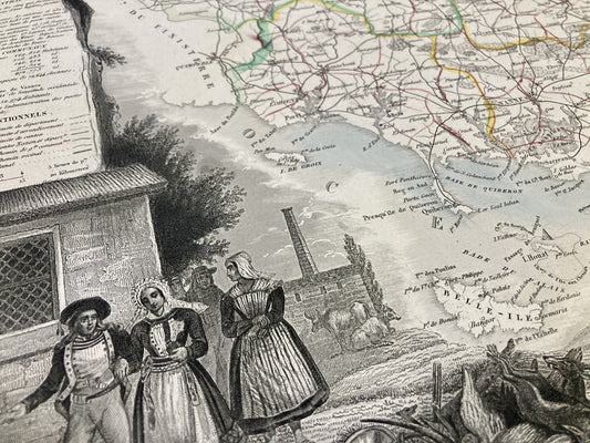
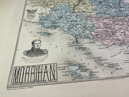
Old map of Morbihan by AH Dufour
Regular price 30,00 €Regular priceUnit price per -
Old map of Ille-et-Vilaine by V. Levasseur
Regular price 32,40 €Regular priceUnit price per42,00 €Sale price 32,40 €Sale -
Old map of Morbihan by V. Levasseur
Regular price 32,40 €Regular priceUnit price per42,00 €Sale price 32,40 €Sale -
Old map of Finistère by A. Vuillemin
Regular price 39,60 €Regular priceUnit price per48,00 €Sale price 39,60 €Sale -
Old map of Morbihan by A. Vuillemin
Regular price 39,60 €Regular priceUnit price per48,00 €Sale price 39,60 €Sale -
Old map of Côtes d'Armor by V. Levasseur
Regular price 44,40 €Regular priceUnit price per54,00 €Sale price 44,40 €Sale -
Old map of Finistère by V. Levasseur
Regular price 44,40 €Regular priceUnit price per54,00 €Sale price 44,40 €Sale -
Old IGN map of Pont-Croix and its surroundings
Regular price 54,00 €Regular priceUnit price per -
Old IGN map of Châteaulin and its surroundings
Regular price 54,00 €Regular priceUnit price per -
Old IGN map of Pontivy and its surroundings
Regular price 54,00 €Regular priceUnit price per -
Old IGN map of Châteaubriant and its surroundings
Regular price 54,00 €Regular priceUnit price per -
Old marine map from Belle-Île to Île d'Yeu
Regular price 72,00 €Regular priceUnit price per -
Old nautical chart from Ouessant to the Loire
Regular price 72,00 €Regular priceUnit price per -
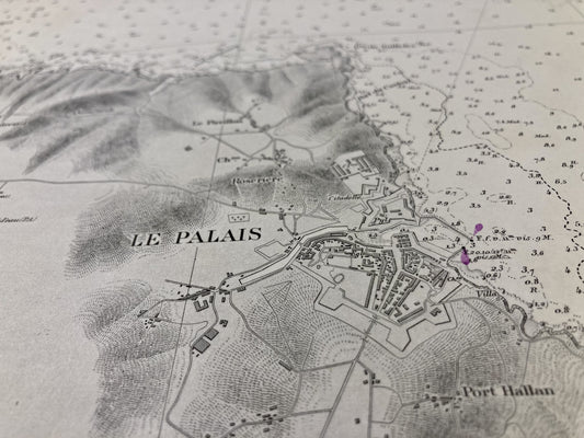
Old nautical chart of Belle-Île - Rade du Palais
Regular price 72,00 €Regular priceUnit price per -
Old nautical chart of the Bay of Quiberon
Regular price 72,00 €Regular priceUnit price per -
Old nautical chart of the Island of Groix
Regular price 72,00 €Regular priceUnit price per -
Old nautical chart from Ouessant to the Loire
Regular price 78,00 €Regular priceUnit price per -
Old nautical chart of the entrance to the English Channel
Regular price 78,00 €Regular priceUnit price per -
Old marine map from the Pointe de Trévignon to Lorient
Regular price 78,00 €Regular priceUnit price per