Skip to product information
1 of 4

Old map of Madagascar by A. Vuillemin

Old map of Madagascar by A. Vuillemin

Regular price 39,60 €
Regular price Sale price 39,60 €
Sale Sold out
Tax included.

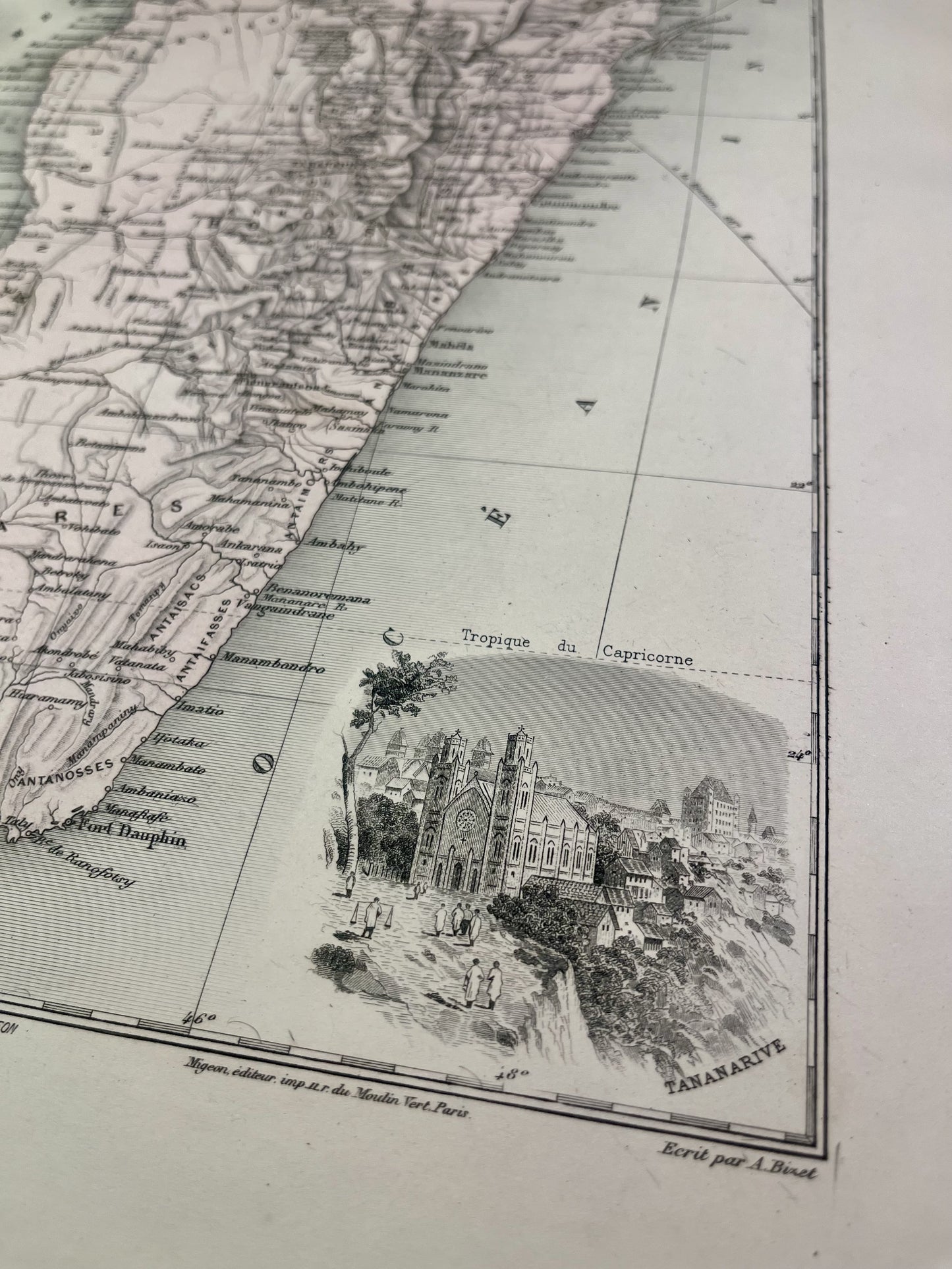
This old map of Madagascar is colorful and decorated with an illustration representing Antananarivo. It comes from the Nouvel Atlas National Illustré, a work published during the end of the 19th century and the beginning of the 20th, and was produced by the geographers A. Vuillemin, L. Thuillier, Ch. Lacoste and G. Lorsignol. Its size is 39x29cm. We find on this map the towns and villages of Madagascar of the time as well as a small map of the Comoros and Mayotte.

Attention !

The map is not sold framed. Discover my advice for properly framing or having your old maps framed.

Condition:

Very good condition, minimal stains.

View full details
  • Satisfied or refunded !

    You don't like the card? The return is at your expense but the card is fully refunded.

  • No reproduction!

    All the cards in my collection are originals that I have found since I was very young.

  • Fast and quality shipping

    Whatever the shipping method, shipments are made within 24 hours in reinforced tubes.