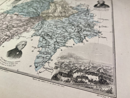
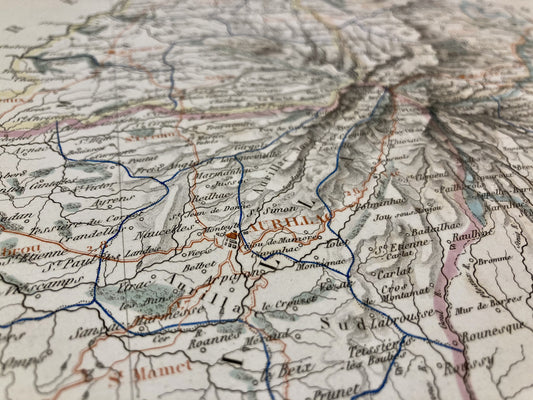
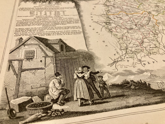
Bring a bit of the Massif Central into your home with these old maps of Cantal. This historic region of Auvergne, rich in its landscapes and typical villages, offers real postcard settings. I offer you maps targeting specific areas, cities, or even the entire department like this old illustrated map of Cantal.
Choose which era of Cantal you want to discover by immersing yourself in Cassini maps, General Staff maps or even old IGN maps.
At Vos Carte Ancienne, I am committed to offering you quality historical plans and maps of France and the World. In the Massif Central, for example, you will find many old maps of Auvergne, old maps of Midi-Pyrénées but also illustrated maps of Aveyron, old maps of Corrèze, old maps of Puy-de-Dôme…