Old maps of Charente-Maritime
-
Old map of Charente-Maritime by AH Dufour
Regular price 30,00 €Regular priceUnit price / per -
Old map of Charente-Maritime by A. Vuillemin
Regular price 39,60 €Regular priceUnit price / per48,00 €Sale price 39,60 €Sale -
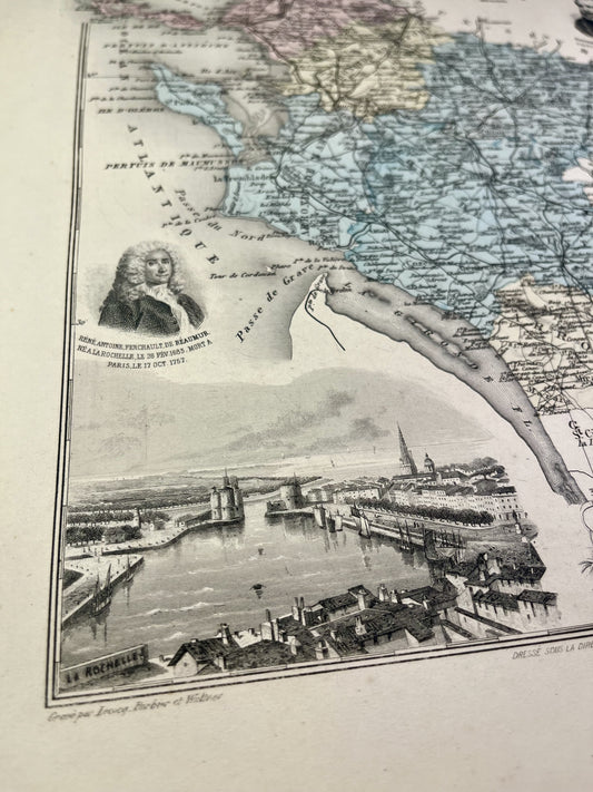
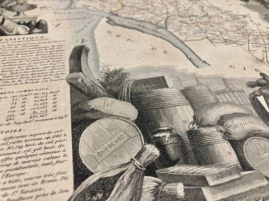
Old map of Charente-Maritime by V. Levasseur
Regular price 44,40 €Regular priceUnit price / per54,00 €Sale price 44,40 €Sale -
Old IGN map of Saintes and its surroundings
Regular price 54,00 €Regular priceUnit price / per -
Old IGN map of Saint-Jean-d'Angély and its surroundings
Regular price 54,00 €Regular priceUnit price / per -
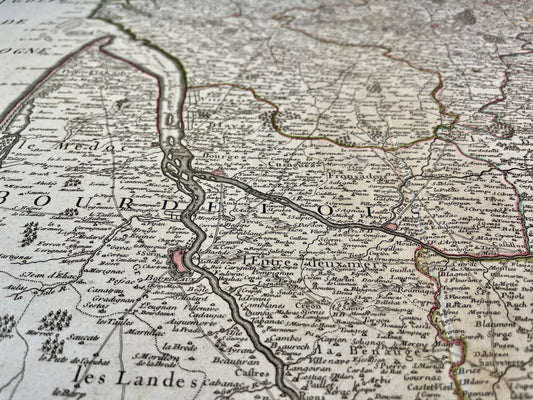
Old map of Bordeaux and Périgord by G. Delisle - 1714
Regular price 192,00 €Regular priceUnit price / per264,00 €Sale price 192,00 €Sale -
Antique map of Poitou by Longchamps - 1767
Regular price 228,00 €Regular priceUnit price / per288,00 €Sale price 228,00 €Sale
Bring a bit of the Atlantic Coast into your home with these old maps of Charente-Maritime. This region of Poitou-Charente, rich in its landscapes, coasts and typical villages, offers real postcard settings. I offer you maps targeting specific areas, cities, or even the entire department like this old illustrated map of Charente-Maritime.
Choose which era of Charente-Maritime you would like to discover by immersing yourself in Cassini maps, old General Staff maps or even old IGN maps.
My priority is to find you the old map that will help you discover, remember or give the best possible gift. Do not hesitate to discover my old maps of Poitou-Charentes or Pays de la Loire and browse my beautiful selection of illustrated maps of Deux-Sèvres, old maps of Charente or old maps of Vendée…