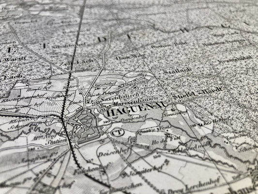
French General Staff Maps
Discover my collection of old geographic maps from the French General Staff. To help you find the right map, go to my assembly table for French General Staff maps. Perfect for history lovers, collectors or as a gift. For other types of maps of France, go to my collections of old IGN or Cassini maps.
-
General Staff Map of Nogent-le-Rotrou and its surroundings
Regular price 120,00 €Regular priceUnit price / per -
General Staff Map of Rochechouart and its surroundings
Regular price 120,00 €Regular priceUnit price / per -
General Staff Map of Lille and its surroundings
Regular price 120,00 €Regular priceUnit price / per -
General Staff Map of Cambrai, Guise, Peronne and their surroundings
Regular price 120,00 €Regular priceUnit price / per -
General Staff Map of Givet and its surroundings
Regular price 66,00 €Regular priceUnit price / per -
General Staff Map of Laon and its surroundings
Regular price 66,00 €Regular priceUnit price / per -
General Staff Map of Beauvais and its surroundings
Regular price 42,00 €Regular priceUnit price / per -
General Staff Map of Beauvais and its surroundings
Regular price 42,00 €Regular priceUnit price / per -
General Staff Map of Laon and its surroundings
Regular price 42,00 €Regular priceUnit price / per -
General Staff Map of Ferrette and its surroundings
Regular price 54,00 €Regular priceUnit price / per -
General Staff Map of Colmar and its surroundings
Regular price 66,00 €Regular priceUnit price / per -
General Staff Map of Epinal and its surroundings
Regular price 42,00 €Regular priceUnit price / per -
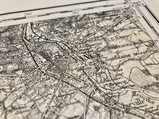
General Staff Map of Nancy and its surroundings
Regular price 66,00 €Regular priceUnit price / per -
General Staff Map of Fontainebleau and its surroundings
Regular price 66,00 €Regular priceUnit price / per -
General Staff Map of Ferrette and its surroundings
Regular price 66,00 €Regular priceUnit price / per -
General Staff Map of Montbéliard and its surroundings
Regular price 66,00 €Regular priceUnit price / per -
General Staff Map of Avallon and its surroundings
Regular price 66,00 €Regular priceUnit price / per -
General Staff Map of Wassy and its surroundings
Regular price 66,00 €Regular priceUnit price / per -
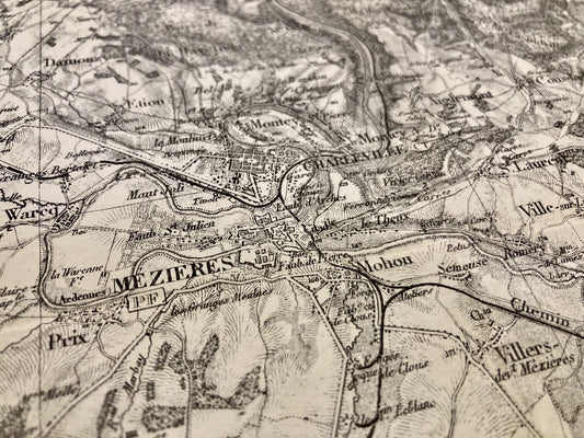
General Staff Map of Mézières and its surroundings
Regular price 66,00 €Regular priceUnit price / per -
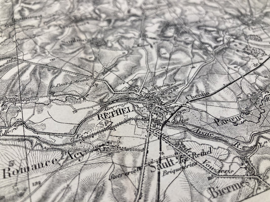
General Staff Map of Rethel and its surroundings
Regular price 66,00 €Regular priceUnit price / per -
General Staff Map of Givet and its surroundings
Regular price 66,00 €Regular priceUnit price / per -
General Staff Map of Rocroi and its surroundings
Regular price 66,00 €Regular priceUnit price / per -
General Staff Map of Saverne and its surroundings
Regular price 120,00 €Regular priceUnit price / per -
General Staff Map of Mayenne and its surroundings
Regular price 120,00 €Regular priceUnit price / per
Explore the elegant aesthetic of the French General Staff maps, visual witnesses to the cartographic history of the 19th century. Their precision and captivating detail offer a unique insight into the territories and military events of the time.
French General Staff maps were created in the 19th century as part of military topographical projects aimed at documenting territories and strategic infrastructures. Their development is closely linked to the rise of modern cartography and the evolution of topographic survey techniques. These maps played a crucial role in planning military operations and left a lasting legacy as valuable witnesses to geographical history.
Also discover my wide range of other historical maps, such as Cassini maps, old IGN maps and nautical charts, each offering a unique perspective on our geographic past. Whatever your cartographic passion, my collection will meet your needs and feed your curiosity.


