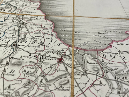
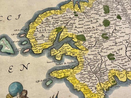
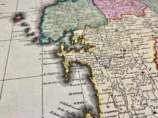
-
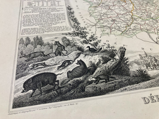
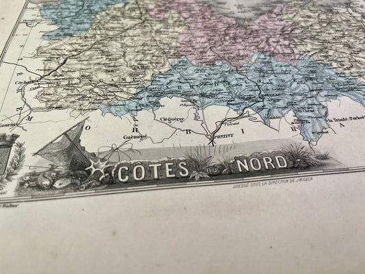
Antique map of Côtes d'Armor by V. Levasseur
Regular price 36,00 €Regular priceUnit price per -
Old map of Côtes d'Armor by A. Vuillemin
Regular price 38,00 €Regular priceUnit price per -
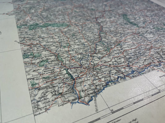
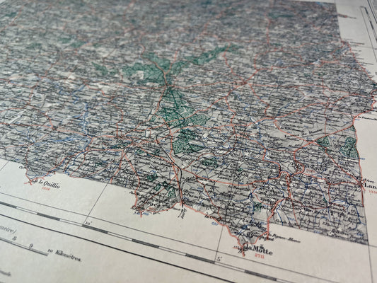
Carhaix Vicinal Service Map
Regular price 52,00 €Regular priceUnit price per -
Quintin Vicinal Service Map
Regular price 52,00 €Regular priceUnit price per -

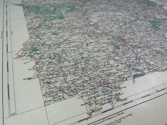 Sold out
Pontivy Vicinal Service Map
Regular price 52,00 €Regular priceUnit price per -
Lamballe Vicinal Service Map
Regular price 52,00 €Regular priceUnit price per -
Map of the Saint-Méen Vicinal Service
Regular price 52,00 €Regular priceUnit price per -
Map of the Dinan Vicinal Service
Regular price 52,00 €Regular priceUnit price per -
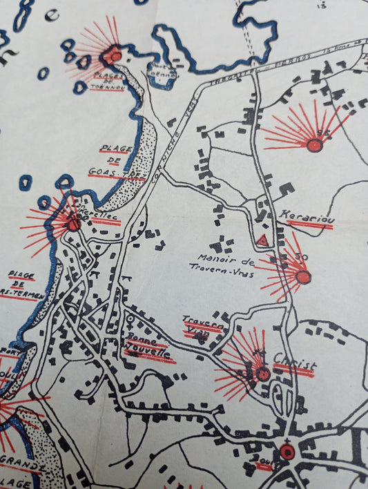
Tourist map of Trébeurden and its surroundings ca. 1950
Regular price 96,00 €Regular priceUnit price per -
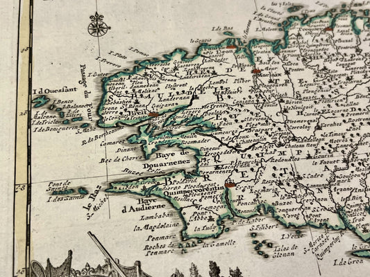
Small antique map of Brittany by P. van der Aa - ca. 1710
Regular price 130,00 €Regular priceUnit price per -
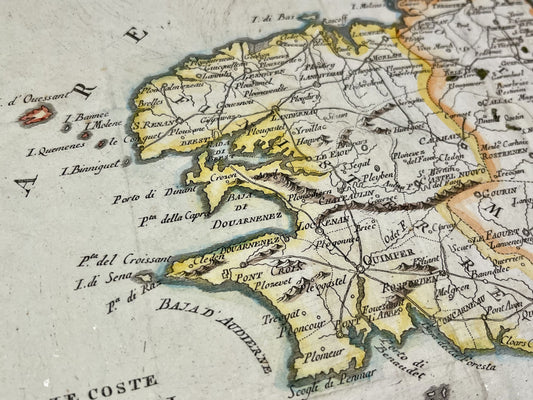
Antique map of Brittany by A. Zatta - 1795
Regular price 180,00 €Regular priceUnit price per -
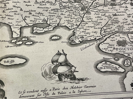
Antique map of Brittany by J. Hardy - ca. 1640
Regular price 210,00 €Regular priceUnit price per -
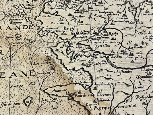
Antique map of Armorica by J. Leclerc and M. Bouguereau - ca. 1620
Regular price 250,00 €Regular priceUnit price per -
Antique map of Côtes d'Armor by PG Chanlaire - ca. 1820
Regular price 260,00 €Regular priceUnit price per -
Antique map of the Duchy of Brittany by J. Janssonius - ca. 1630
Regular price 330,00 €Regular priceUnit price per -
Antique map of Brittany by G. Valk - ca. 1700
Regular price 350,00 €Regular priceUnit price per

