-
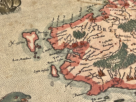
Antique map of Brittany and Normandy by G. Mercator - c. 1610
Regular price 390,00 €Regular priceUnit price per -
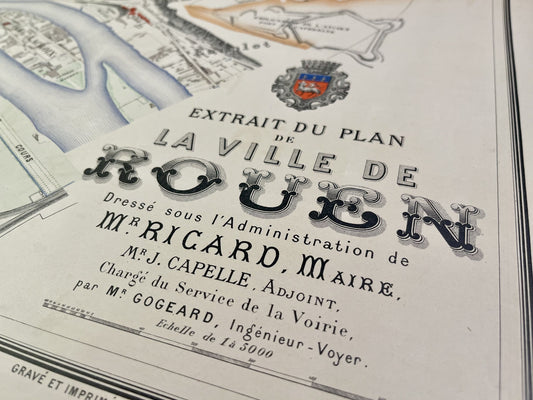
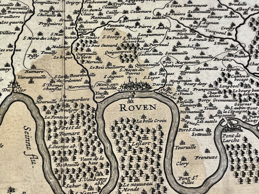
Antique map of Rouen drawn up under the Administration of Mr. Ricard - 1883
Regular price 370,00 €Regular priceUnit price per -
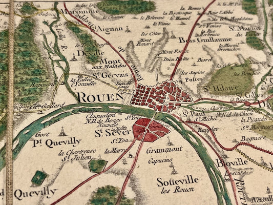
Cassini map of Rouen, Vernon, Louviers and their surroundings
Regular price 350,00 €Regular priceUnit price per -
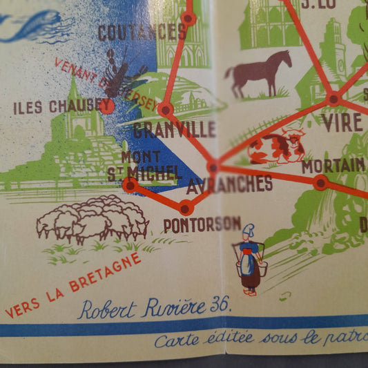
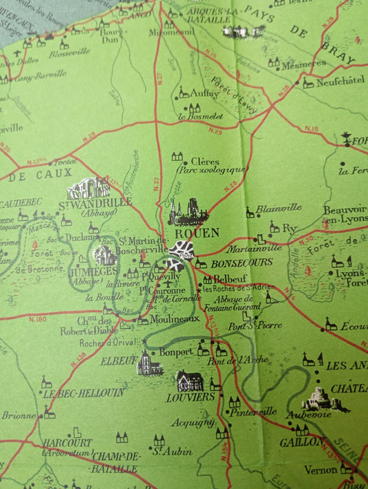
Retro tourist map of Normandy by Robert Rivière - 1936
Regular price 286,00 €Regular priceUnit price per -
Antique map of Normandy by G. Delisle - 1716
Regular price 270,00 €Regular priceUnit price per -
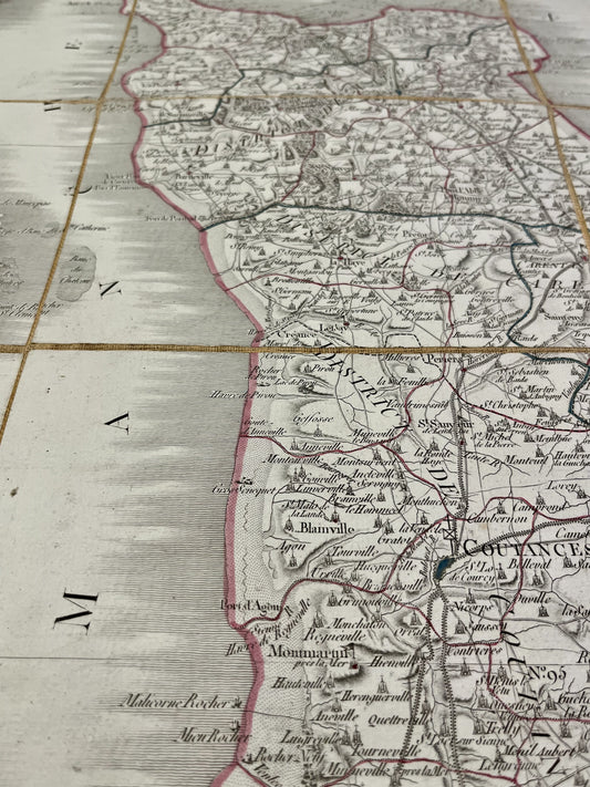
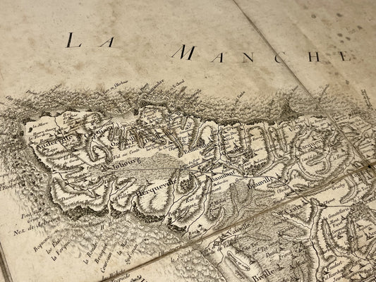
Antique map of the Manche by PG Chanlaire - ca. 1820
Regular price 260,00 €Regular priceUnit price per -
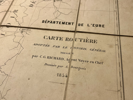
Large antique map of Eure by C.G. Richard - 1854
Regular price 190,00 €Regular priceUnit price per -
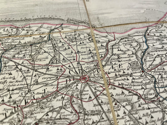
Antique map of Calvados by PG Chanlaire - ca. 1820
Regular price 190,00 €Regular priceUnit price per -
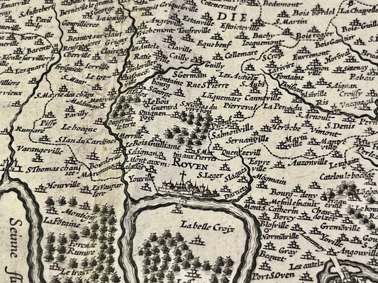
Antique map of the Pays de Caux by H. Hondius - ca. 1630
Regular price 170,00 €Regular priceUnit price per -
Antique road map of North-West France by Ch. Picquet
Regular price 140,00 €Regular priceUnit price per -
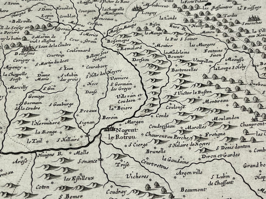
Antique map of Perche and Blois by P. Mariette - ca. 1650
Regular price 130,00 €Regular priceUnit price per -
Cassini map of Avranches and its surroundings
Regular price 130,00 €Regular priceUnit price per -
Cassini map of Cherbourg, Les Pieux, Bricquebec and their surroundings
Regular price 110,00 €Regular priceUnit price per -
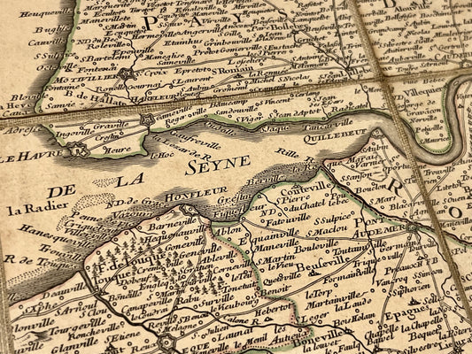
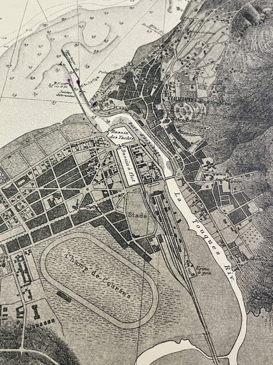
Antique nautical chart of the area around Trouville and Deauville
Regular price 110,00 €Regular priceUnit price per -
Antique map of the Pays de Caux by J. Leclerc - ca. 1630
Regular price 110,00 €Regular priceUnit price per -
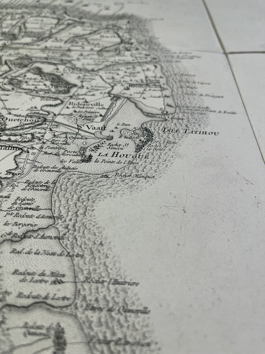
Cassini map of Saint-Vaast-la-Hougue and its surroundings
Regular price 100,00 €Regular priceUnit price per -
General Staff Map of Cherbourg and its surroundings
Regular price 100,00 €Regular priceUnit price per -
General Staff Map of Coutances and its surroundings
Regular price 100,00 €Regular priceUnit price per -
General Staff Map of Falaise and its surroundings
Regular price 100,00 €Regular priceUnit price per -
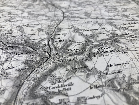
General Staff Map of Neufchâtel and its surroundings
Regular price 100,00 €Regular priceUnit price per -
General Staff Map of Yvetot and its surroundings
Regular price 100,00 €Regular priceUnit price per -
Retro pictorial map of Normandy - ca. 1950
Regular price 99,00 €Regular priceUnit price per -
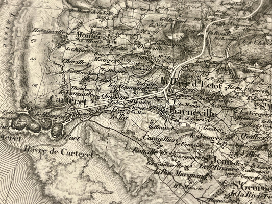
Antique map of Barneville and its surroundings by the Dépôt de la Guerre - 1843
Regular price 80,00 €Regular priceUnit price per -
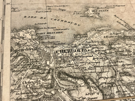
Antique map of Cherbourg and its surroundings by the Dépôt de la Guerre - 1844
Regular price 80,00 €Regular priceUnit price per