-
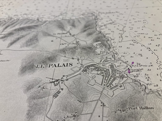
Old nautical chart of Belle-Île - Rade du Palais
Regular price 60,00 €Regular priceUnit price per -
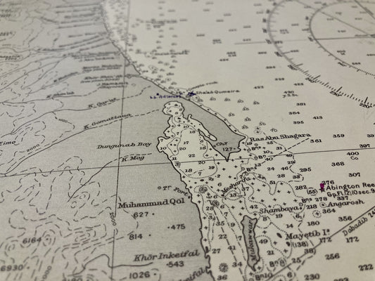
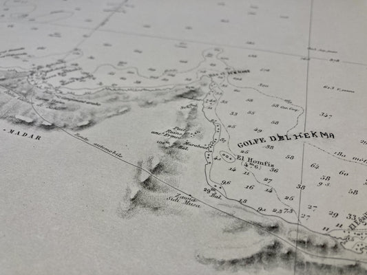
Old English nautical chart of the central Red Sea
Regular price 60,00 €Regular priceUnit price per95,00 €Sale price 60,00 €Sale -
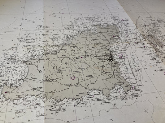
Old nautical chart of Eastern Guernsey, Herm and Sark
Regular price 60,00 €Regular priceUnit price per -
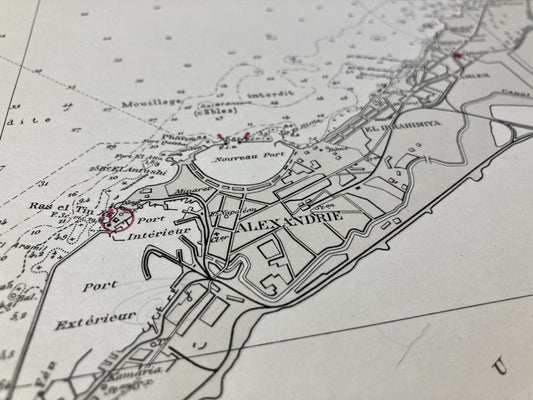
Old nautical chart of the surroundings of Alexandria
Regular price 65,00 €Regular priceUnit price per -
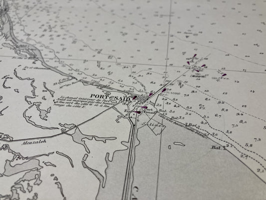
Old nautical chart from Damietta to El-Arish
Regular price 65,00 €Regular priceUnit price per -
Old nautical chart of Ras Alam El Rum in Alexandria
Regular price 65,00 €Regular priceUnit price per -
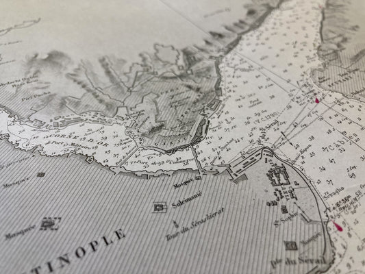
Old nautical chart of the Bosphorus
Regular price 65,00 €Regular priceUnit price per -
Old nautical chart of the Islands of Guernsey, Herm and Sark
Regular price 65,00 €Regular priceUnit price per -
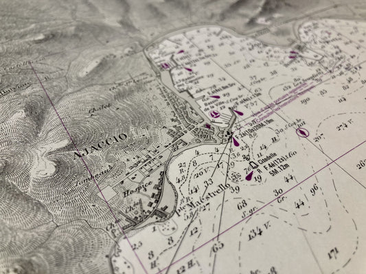
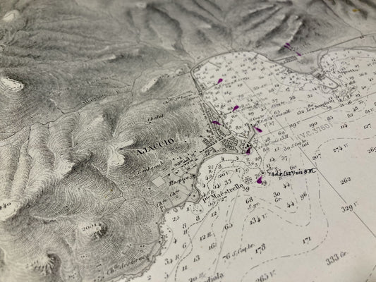
Old nautical chart of the Gulf of Ajaccio
Regular price 65,00 €Regular priceUnit price per -
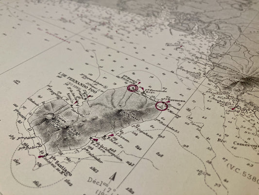
Old nautical chart of the Niger River at Cape Lopez
Regular price 70,00 €Regular priceUnit price per -
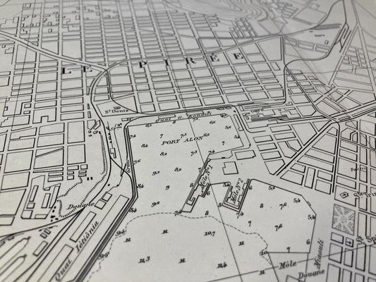
Old nautical chart of the Port of Piraeus and the Bay of Phalere
Regular price 70,00 €Regular priceUnit price per -
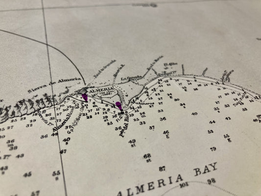
English nautical chart from Adra to Cartagena
Regular price 70,00 €Regular priceUnit price per -
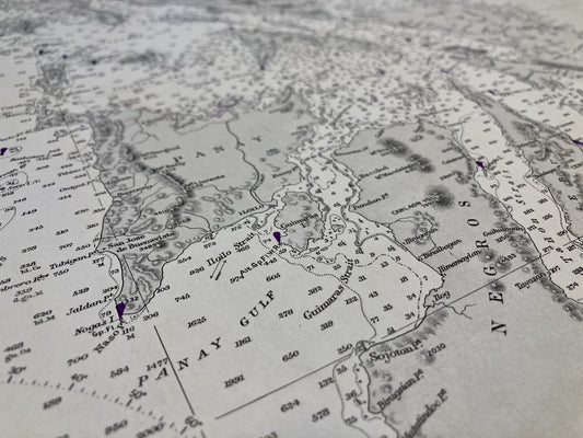
English nautical chart of the Philippines, from the Molucca Sea to Manila Bay
Regular price 70,00 €Regular priceUnit price per -
Old nautical chart of the Gulf of Ajaccio, from Cape Muro to Cape Feno
Regular price 70,00 €Regular priceUnit price per -
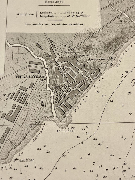
Small antique nautical chart of Villajoyosa Bay
Regular price 70,00 €Regular priceUnit price per -
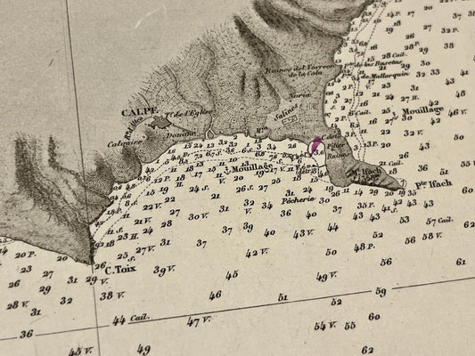
Small antique nautical chart of the anchorages of Altea and Calpe
Regular price 70,00 €Regular priceUnit price per -
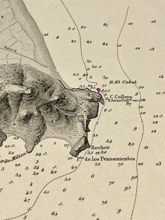
Small antique nautical chart of the harbor of Cullera
Regular price 70,00 €Regular priceUnit price per -
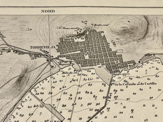
Small antique nautical chart of the Torrevieja harbor
Regular price 70,00 €Regular priceUnit price per -
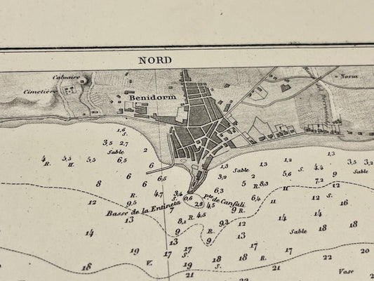
Antique nautical chart of the Benidorm Bay
Regular price 70,00 €Regular priceUnit price per -
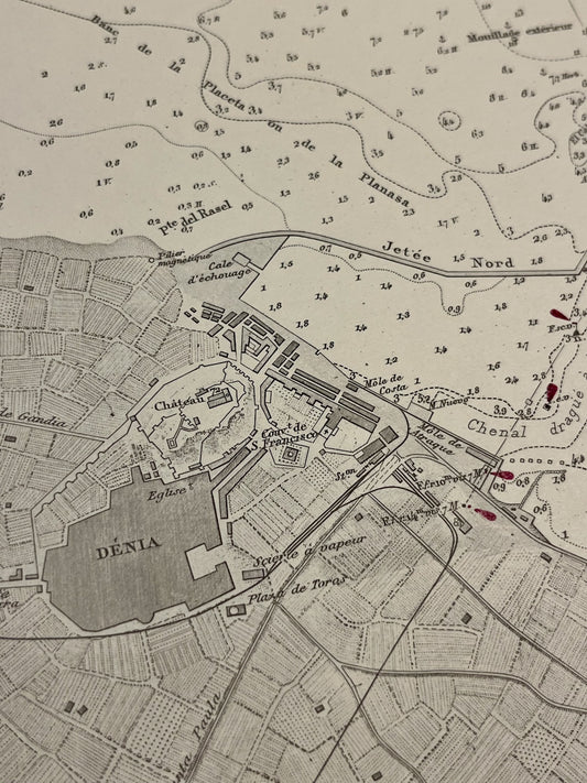
Antique nautical chart of the harbor of Dénia
Regular price 70,00 €Regular priceUnit price per -
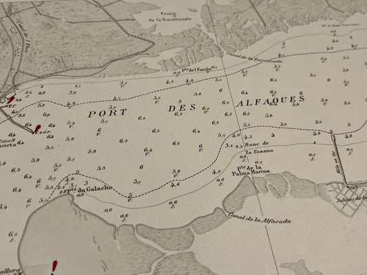
Antique nautical chart of the harbor of Alfaques - La Rapita
Regular price 70,00 €Regular priceUnit price per -
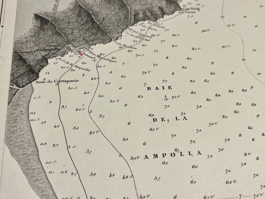
Antique nautical chart of the Bays of Fangar and L'Ampolla
Regular price 70,00 €Regular priceUnit price per -
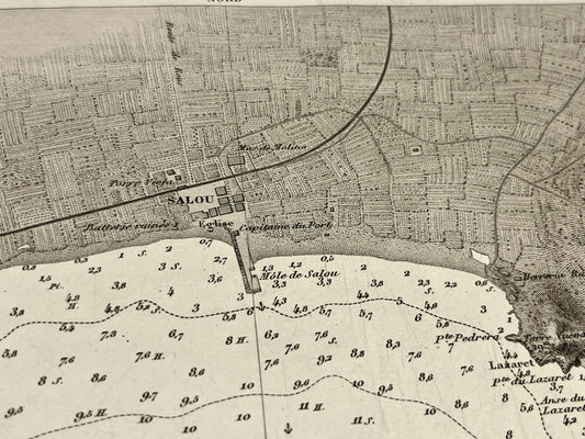
Antique nautical chart of the anchorage of Salou - Catalonia
Regular price 70,00 €Regular priceUnit price per -
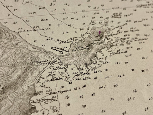
Antiquer nautical chart of Cape Palos and the Hormigas Islands
Regular price 70,00 €Regular priceUnit price per

