Old maps of Finistère
-
Old map of Finistère by Th. Duvotenay
Regular price 30,00 €Regular priceUnit price / per -
Old map of Finistère by A. Vuillemin
Regular price 39,60 €Regular priceUnit price / per48,00 €Sale price 39,60 €Sale -
Old map of Finistère by V. Levasseur
Regular price 44,40 €Regular priceUnit price / per54,00 €Sale price 44,40 €Sale -
Old IGN map of Châteaulin and its surroundings
Regular price 54,00 €Regular priceUnit price / per -
Old IGN map of Pont-Croix and its surroundings
Regular price 54,00 €Regular priceUnit price / per -
Old nautical chart from Ouessant to the Loire
Regular price 72,00 €Regular priceUnit price / per -
Old nautical chart from Ouessant to the Loire
Regular price 78,00 €Regular priceUnit price / per -
Old nautical chart of the entrance to the English Channel
Regular price 78,00 €Regular priceUnit price / per -
General Staff Map of Pont-l'Abbé and its surroundings
Regular price 120,00 €Regular priceUnit price / per
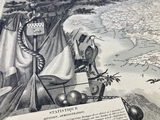
Discover the department through the ages thanks to my old maps of Finistère. The magnificent cities of Brest and Quimper have witnessed great moments in history and benefit from a strong regional culture. Discover its history and its secrets thanks to my authentic maps of specific areas, towns, or even the entire department like this old illustrated map of Finistère.
In order to give you the widest possible choice of Finistère maps, I strive to find old nautical charts, General Staff maps or even old IGN maps.
My priority is to find you the old map that will help you discover, remember or give the best possible gift. Do not hesitate to discover my old maps of Brittany or Normandy and to browse my beautiful selection of neighboring departments like my old maps of Côtes d'Armor, Morbihan or further, from Ille-et-Vilaine.