Origins and training with Lapie
Born in Marly-le-Roi on May 27, 1798, Adolphe-Hippolyte Dufour began his career following in the footsteps of some of the greatest names in geography. He was a student of Lapie, with whom he worked at the Naval Depot. This rigorous technical training enabled him to become a renowned professor himself, training cartographers such as Alexandre Vuillemin. He enjoyed a prolific career until his death in Constantine in 1865.
World reference atlases
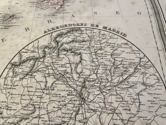
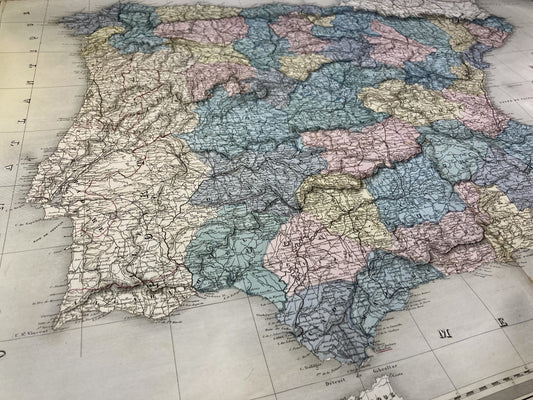
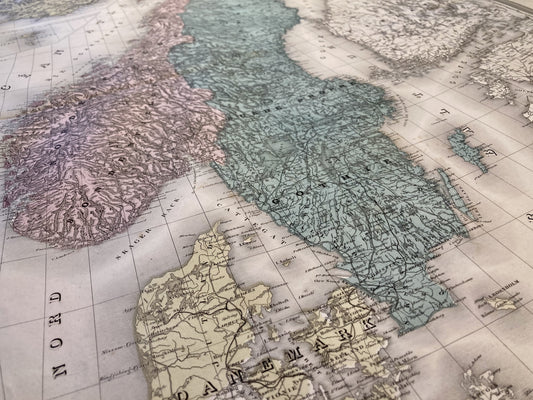
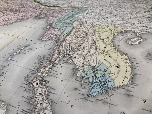
Dufour's work is characterized by collaboration with the most prestigious publishers and engravers in Paris. His Universal Atlas, the 1857 edition, published by Paulin, is one of his most famous works, a collection of maps engraved with great finesse on steel by Dyonnet. He also made a significant contribution to the Elementary and Universal Atlas (1828) and to the Digital Geography Atlas. His ability to synthesize global geographical data made his atlases indispensable tools for the scholars of his time.
Map of France and illustrations
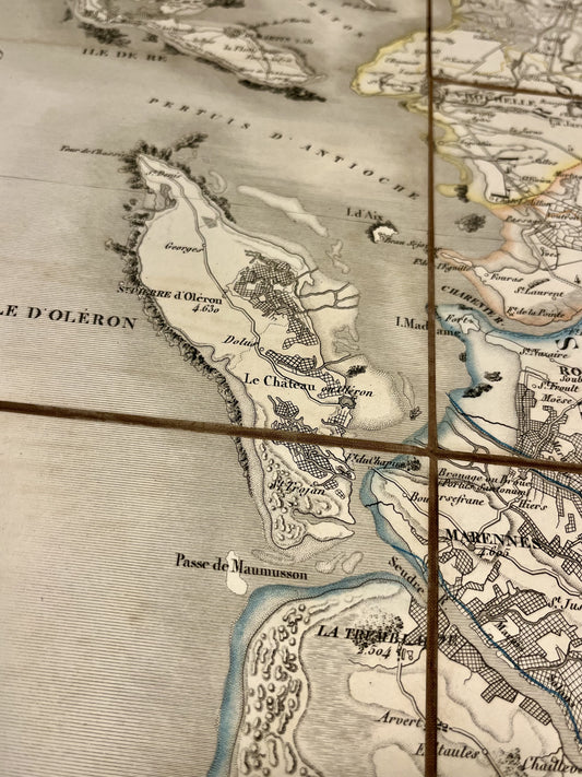
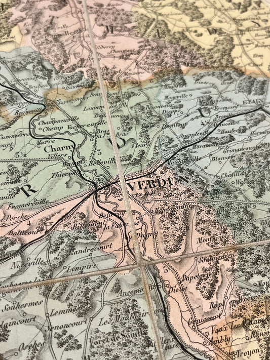
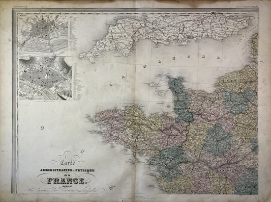
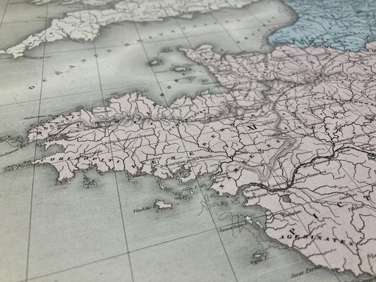
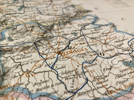
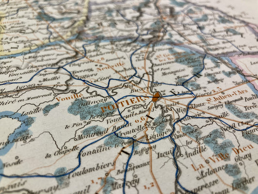
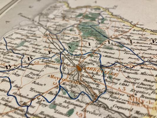
Dufour played a major role in the representation of French territory. He is notably the creator of maps for France Illustrated Malte-Brun's work is a reference for understanding the provinces. His maps are renowned for their clear layout and the quality of their engraving, often enhanced with color to highlight administrative divisions. He also produced thematic maps, such as his Atlas of the History of France demonstrating a rare versatility in the field of map publishing.
Collaboration with the printing company and outreach
Dufour's success rested on a constant synergy with the Parisian printing community, particularly with Charles Picquet. By utilizing the new engraving techniques of the mid-19th century, he was able to disseminate his work widely. His style, which prioritized legibility without sacrificing detail, helped establish the standards for cabinet cartography. Today, his plates remain sought after for their aesthetic quality and their insight into the state of geographical knowledge during the Romantic era.