-
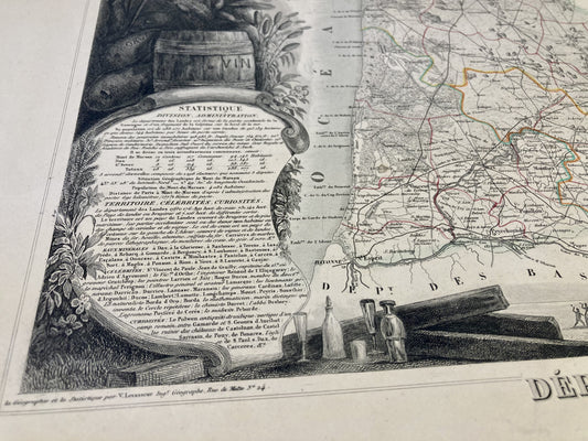
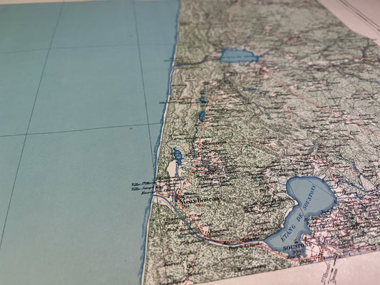
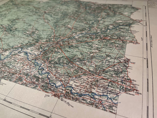
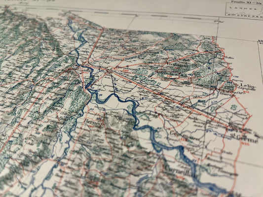
Antique map of the Landes by V. Levasseur
Regular price 36,00 €Regular priceUnit price per -
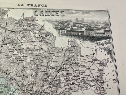
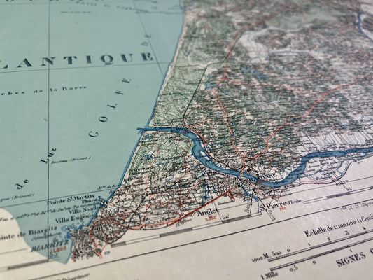
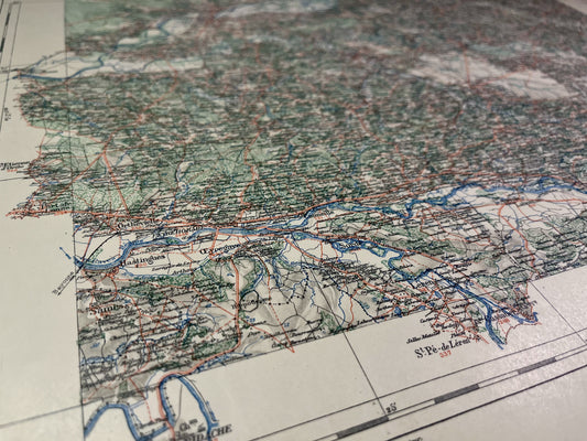
Old map of Landes by A. Vuillemin
Regular price 38,00 €Regular priceUnit price per -
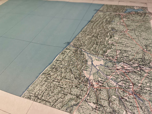
Map of the Biscarrosse Vicinal Service
Regular price 52,00 €Regular priceUnit price per -
Mimizan Vicinal Service Map
Regular price 52,00 €Regular priceUnit price per -
Soustons Local Service Map
Regular price 52,00 €Regular priceUnit price per -
Map of the Vicinal Service of Saint-Vincent-de-Tyrosse
Regular price 52,00 €Regular priceUnit price per -
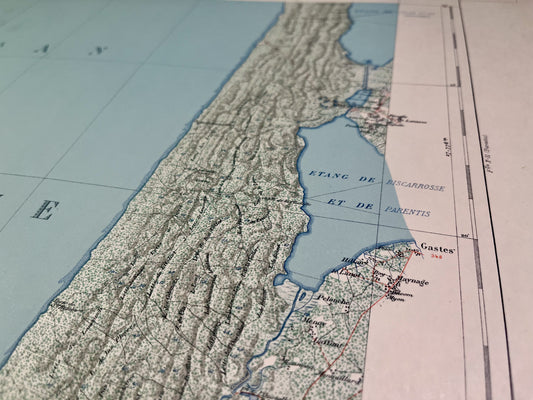
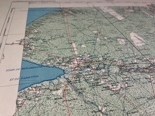
Map of the Parentis Vicinal Service
Regular price 52,00 €Regular priceUnit price per -
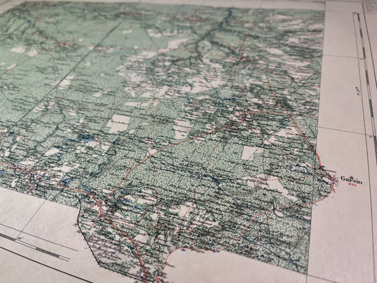
Sabres Vicinal Service Map
Regular price 52,00 €Regular priceUnit price per -
Map of the Vicinal Service of Tartas
Regular price 52,00 €Regular priceUnit price per -
Dax Vicinal Service Map
Regular price 52,00 €Regular priceUnit price per -
Roquefort Vicinal Service Map
Regular price 52,00 €Regular priceUnit price per -
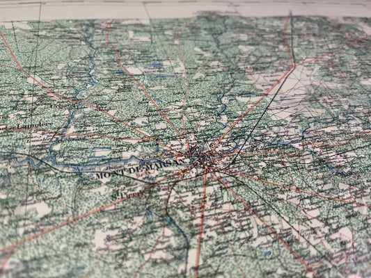
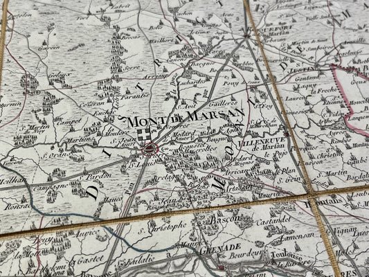
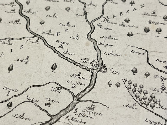
Map of the Mont-de-Marsan Vicinal Service
Regular price 52,00 €Regular priceUnit price per -
Map of the Vicinal Service of Aire-sur-l'Adour
Regular price 52,00 €Regular priceUnit price per -
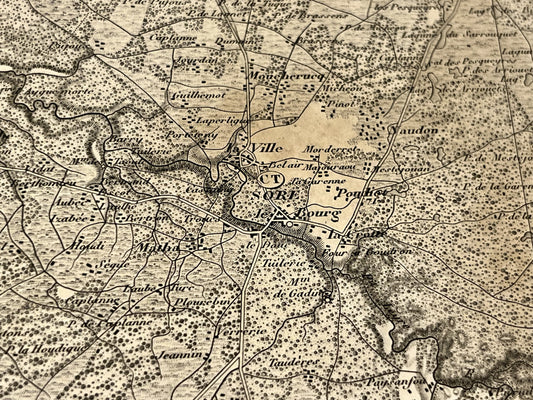
Antique map of Sore and its surroundings by the Dépôt de la Guerre - 1853
Regular price 75,00 €Regular priceUnit price per -
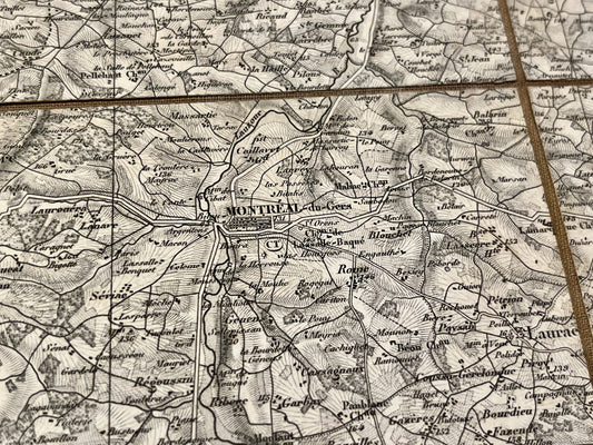
Antique map of Montreal (Gers) and its surroundings by the Dépôt de la Guerre
Regular price 80,00 €Regular priceUnit price per -
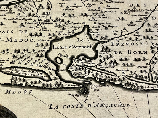
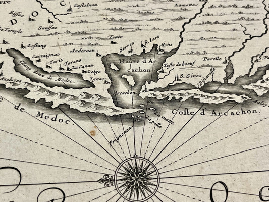
Antique map of the Bordeaux region and the Médoc by J. Leclerc - ca. 1630
Regular price 100,00 €Regular priceUnit price per -
Antique map of Guyenne by J. Janssonius - ca. 1650
Regular price 140,00 €Regular priceUnit price per -
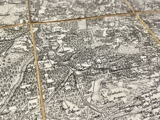
Cassini map of Bazas and its surroundings
Regular price 160,00 €Regular priceUnit price per -
Antique map of the Pyrenees by H. le Soudier - ca. 1900
Regular price 170,00 €Regular priceUnit price per -
Antique map of the Landes by PG Chanlaire - ca. 1820
Regular price 190,00 €Regular priceUnit price per -
Antique map of the Diocese of Aire-sur-l'Adour by J. de Classun - 1635
Regular price 190,00 €Regular priceUnit price per -
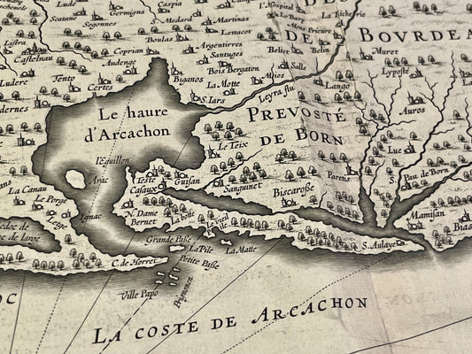
Antique map of the Bordeaux region, the Médoc, and the Provostship of Born by J. Hondius - ca. 1640
Regular price 220,00 €Regular priceUnit price per