-
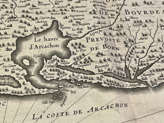
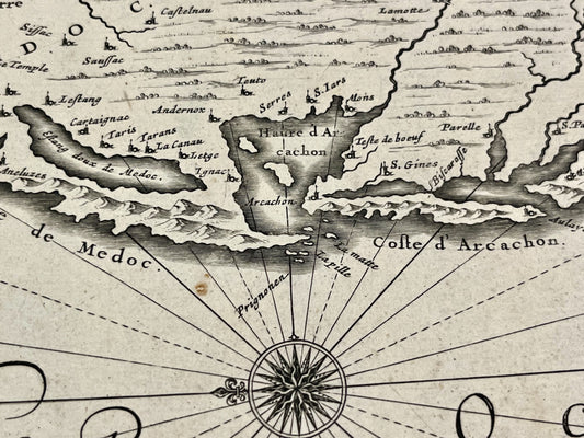
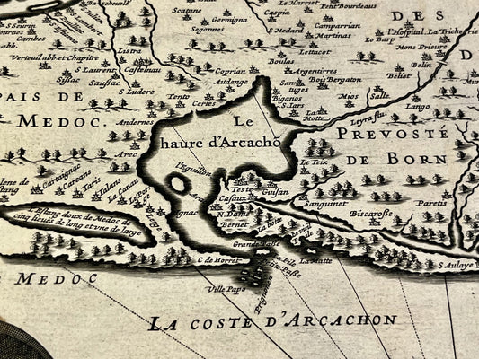
Carte ancienne du Bordelais, du Médoc, et de la Prévôté de Born par J. Hondius - ca. 1640
Regular price 220,00 €Regular priceUnit price per -
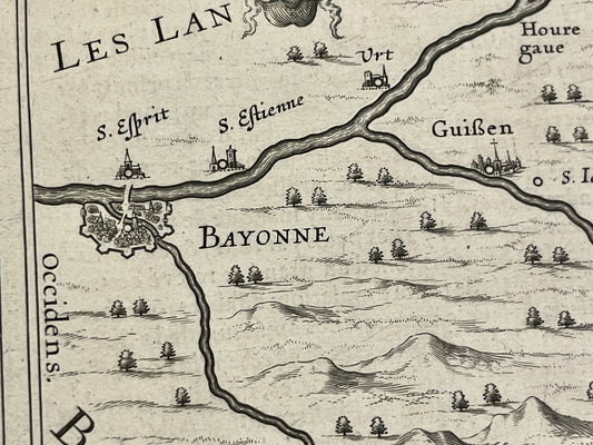
Carte ancienne du Béarn par J. Janssonius - ca. 1630
Regular price 200,00 €Regular priceUnit price per -
Antique map of the Pyrenees by H. le Soudier - ca. 1900
Regular price 170,00 €Regular priceUnit price per -
Antique map of Guyenne by J. Janssonius - ca. 1650
Regular price 140,00 €Regular priceUnit price per -
Old map of Guyenne and Gascony by JB. Nolin - 1760
Regular price 140,00 €Regular priceUnit price per -
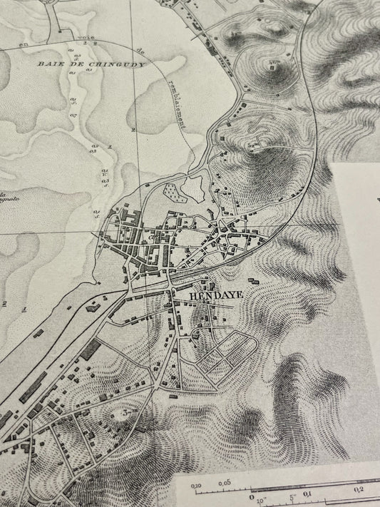
Antique nautical chart of the bay of Fontarabie and Hendaye
Regular price 110,00 €Regular priceUnit price per -
Carte ancienne du Bordelais et du Pays de Médoc par J. Leclerc - ca. 1630
Regular price 100,00 €Regular priceUnit price per -
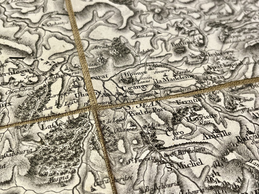
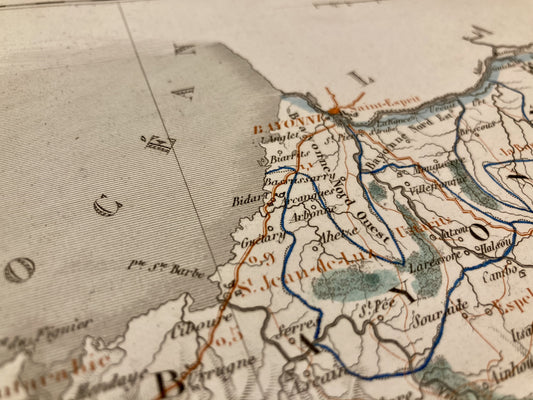
Cassini map of Saint-Jean-Pied-de-Port and its surroundings
Regular price 100,00 €Regular priceUnit price per -
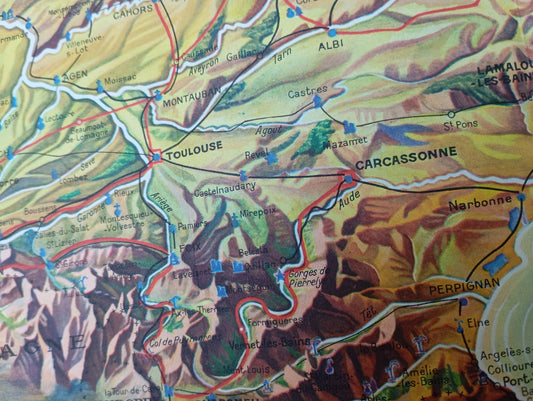
Tourist map of the Pyrenees, circa 1930
Regular price 56,00 €Regular priceUnit price per -
Laruns Local Service Map
Regular price 52,00 €Regular priceUnit price per -
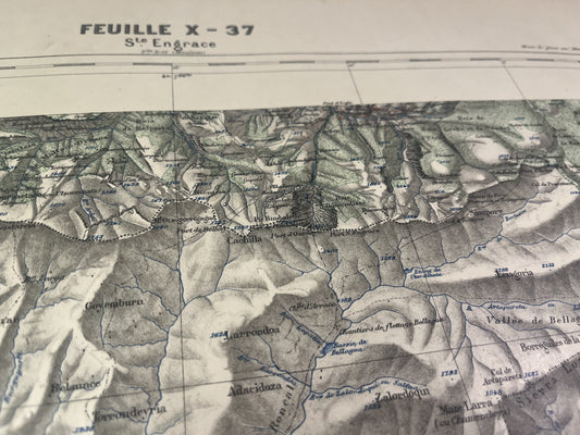
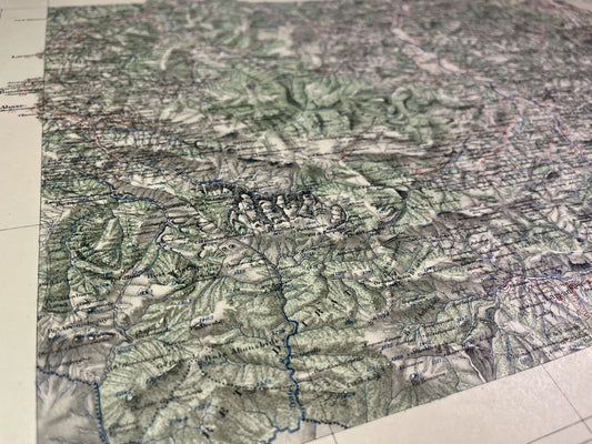
Sainte-Engrace Vicinal Service Map
Regular price 52,00 €Regular priceUnit price per -
Map of the Vicinal Service of Mauléon-Licharre
Regular price 52,00 €Regular priceUnit price per -
Orthez Vicinal Service Map
Regular price 52,00 €Regular priceUnit price per -
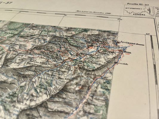
Map of the Saint-Jean-Pied-de-Port Vicinal Service
Regular price 52,00 €Regular priceUnit price per -
Old map of the Pyrénées-Atlantiques by AH Dufour
Regular price 36,00 €Regular priceUnit price per -
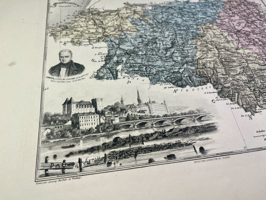
Old map of the Pyrénées-Atlantiques by A. Vuillemin
Regular price 33,00 €Regular priceUnit price per -
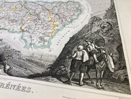
Antique map of the Pyrénées-Atlantiques by V. Levasseur
Regular price 31,00 €Regular priceUnit price per

