-
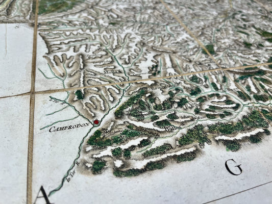
Cassini map of Puigcerda and surrounding areas
Regular price 270,00 €Regular priceUnit price per -
Antique map of the Pyrenees by H. le Soudier - ca. 1900
Regular price 170,00 €Regular priceUnit price per -
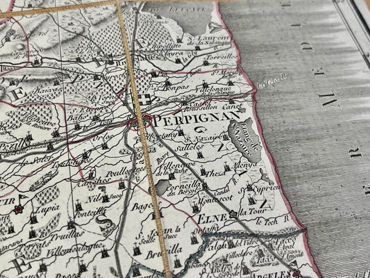
Old map of Roussillon by LC. Desnos - 1766
Regular price 160,00 €Regular priceUnit price per220,00 €Sale price 160,00 €Sold out -
Antique map of the Pyrénées-Orientales by PG Chanlaire - ca. 1820
Regular price 150,00 €Regular priceUnit price per -
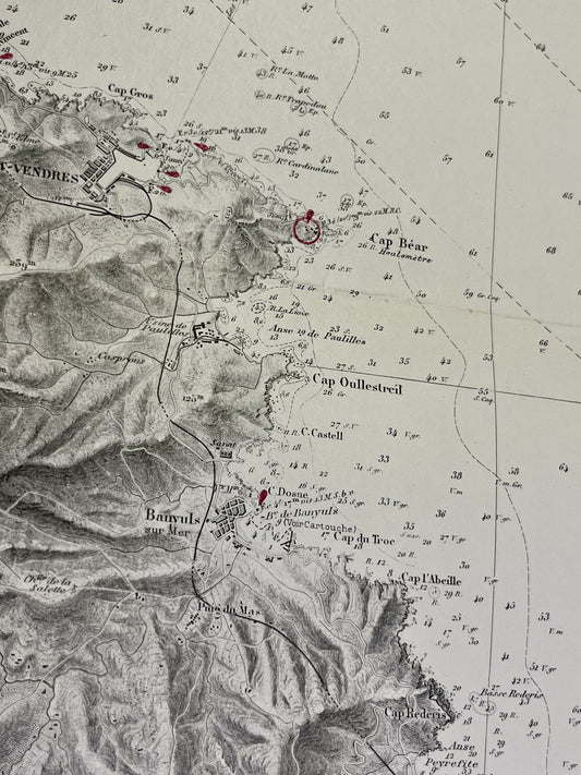
Antique nautical chart from Cap de Creus to Canet
Regular price 90,00 €Regular priceUnit price per -
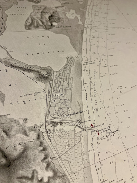
Carte marine ancienne de l'embouchure de la Tet à Gruissan
Regular price 85,00 €Regular priceUnit price per -
Antique nautical chart from Cap de Creux to Sète
Regular price 85,00 €Regular priceUnit price per -
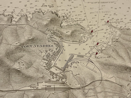
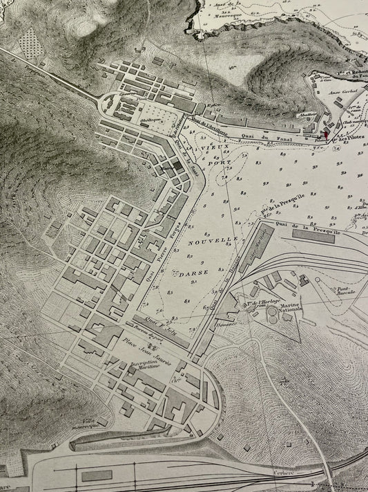
Carte marine ancienne des environs de Port-Vendres
Regular price 80,00 €Regular priceUnit price per -
Antique nautical chart of Port-Vendres
Regular price 80,00 €Regular priceUnit price per -
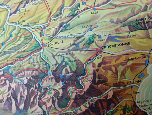
Tourist map of the Pyrenees, circa 1930
Regular price 56,00 €Regular priceUnit price per -
Map of the Céret Vicinal Service
Regular price 52,00 €Regular priceUnit price per -
Map of the Prades Vicinal Service
Regular price 52,00 €Regular priceUnit price per -
Map of the Saint-Paul-de-Fenouillet Vicinal Service
Regular price 52,00 €Regular priceUnit price per -
Map of the Saillagouse Vicinal Service
Regular price 52,00 €Regular priceUnit price per -
Antique map of the Pyrénées-Orientales by V. Levasseur
Regular price 31,00 €Regular priceUnit price per -
Old map of the Pyrénées-Orientales by A. Vuillemin
Regular price 28,00 €Regular priceUnit price per

