Old maps of the Loire
-
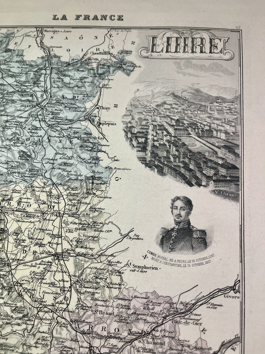
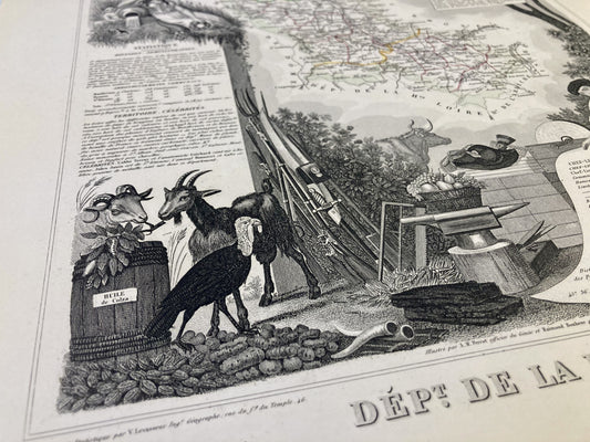
Old map of the Loire by V. Levasseur
Regular price 27,00 €Regular priceUnit price / per35,00 €Sale price 27,00 €Sale -
Old map of the Loire by A. Vuillemin
Regular price 23,00 €Regular priceUnit price / per30,00 €Sale price 23,00 €Sale -
Old map of the Loire by AH Dufour
Regular price 25,00 €Regular priceUnit price / per -
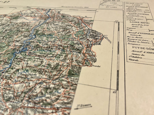
Carte du Service Vicinal de Roanne
Regular price 45,00 €Regular priceUnit price / per -
Carte du Service Vicinal d'Amplepuis
Regular price 45,00 €Regular priceUnit price / per -
Carte du Service Vicinal de Montbrison
Regular price 45,00 €Regular priceUnit price / perSold out -
Carte du Service Vicinal du Chambon
Regular price 45,00 €Regular priceUnit price / per -
Carte du Service Vicinal de Saint-Étienne
Regular price 45,00 €Regular priceUnit price / per -
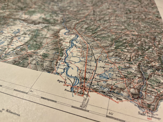
Old IGN map of Firminy and its surroundings
Regular price 45,00 €Regular priceUnit price / per -
Old IGN map of Montbrison and its surroundings
Regular price 45,00 €Regular priceUnit price / per -
Old IGN map of Saint-Étienne and its surroundings
Regular price 45,00 €Regular priceUnit price / per -
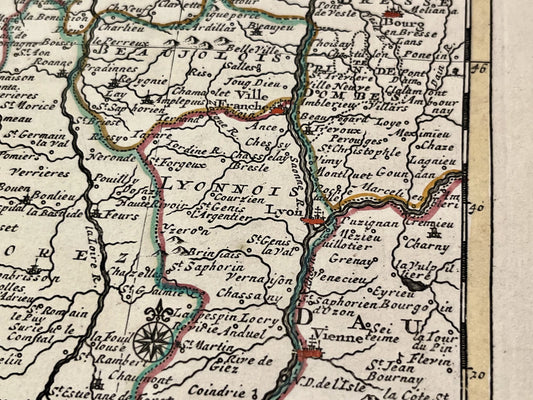
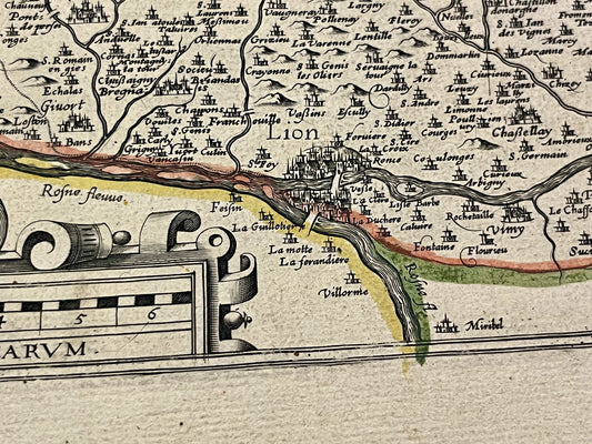
Old map of Lyon and its surroundings in two parts by JB. Nolin - ca. 1730
Regular price 150,00 €Regular priceUnit price / perSold out
Bring a bit of Masif Central into your home with these old maps of the Loire. This department of Rhône-Alpes, rich in its landscapes and its beautiful towns of Saint-Etienne, Roanne or Montbrison, offers real postcard settings. I offer you maps targeting specific areas, cities, or even the entire department like this old illustrated map of the Loire.
Choose which era of the Loire you would like to discover by immersing yourself in Cassini maps, General Staff maps or even old IGN maps.
My priority is to find you the old map that will help you discover, remember or give the best possible gift. Do not hesitate to discover my old maps of Rhône-Alpes or Auvergne and browse my beautiful selection of old illustrated maps of the Rhône, old maps of Puy de Dôme or old maps of Allier.