-
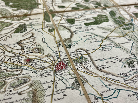
Cassini map of Dijon and its surroundings
Regular price 290,00 €Regular priceUnit price per -
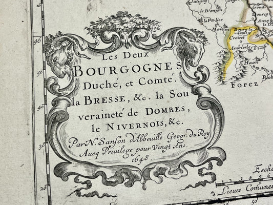
Antique map of Burgundy by N. Sanson - 1648
Regular price 150,00 €Regular priceUnit price per -
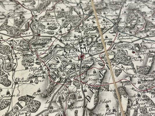
Antique map of Haute-Saône by PG Chanlaire - ca. 1820
Regular price 150,00 €Regular priceUnit price per -
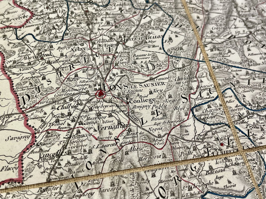
Antique map of Jura by PG Chanlaire - ca. 1820
Regular price 150,00 €Regular priceUnit price per -
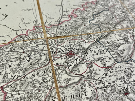
Antique map of Doubs by PG Chanlaire - ca. 1820
Regular price 150,00 €Regular priceUnit price per -
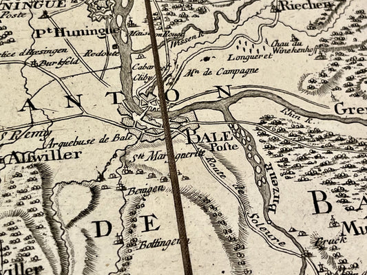
Cassini map of Basel and surrounding areas
Regular price 100,00 €Regular priceUnit price per -
General Staff Map of Lure and its surroundings
Regular price 100,00 €Regular priceUnit price per -
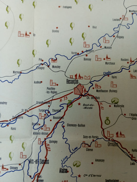
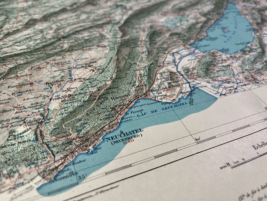
Retro pictorial map of Franche-Comté and Jura - ca. 1950
Regular price 99,00 €Regular priceUnit price per -
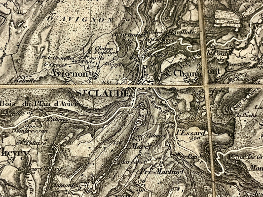
Antique map of Saint-Claude and its surroundings by the Dépôt de la Guerre - 1844
Regular price 65,00 €Regular priceUnit price per -
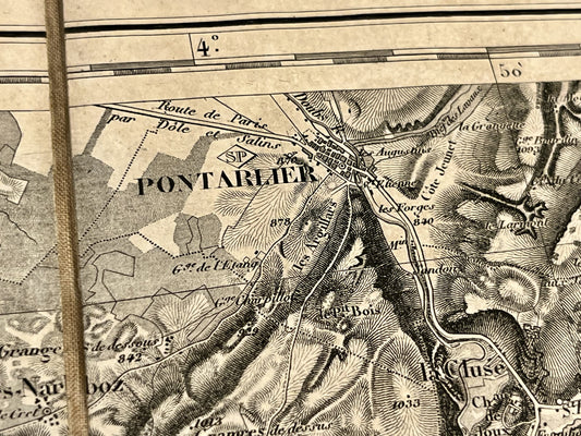
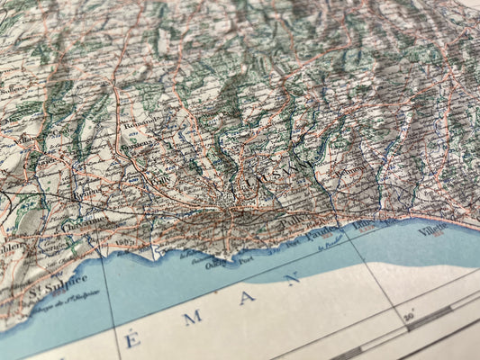
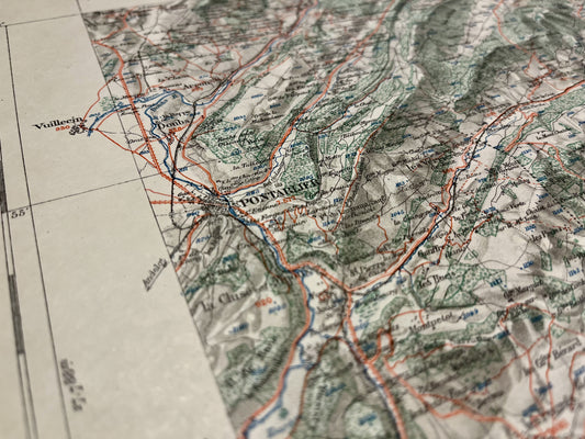
Antique map of Pontarlier and its surroundings by the Dépôt de la Guerre - 1838
Regular price 65,00 €Regular priceUnit price per -
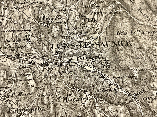
Antique map of Lons-le-Saunier and its surroundings by the Dépôt de la Guerre - 1841
Regular price 65,00 €Regular priceUnit price per -
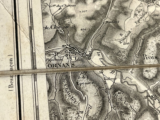
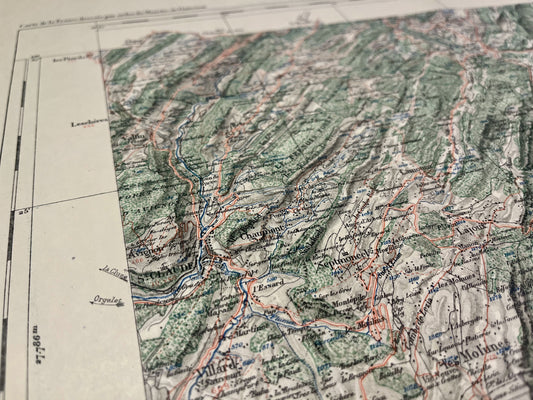
Antique map of Ornans and its surroundings by the Dépôt de la Guerre - 1841
Regular price 65,00 €Regular priceUnit price per -
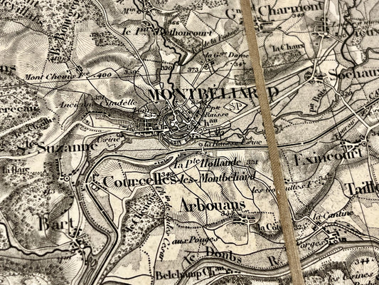
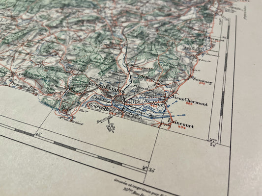
Antique map of Montbéliard and its surroundings by the Dépôt de la Guerre - 1841
Regular price 65,00 €Regular priceUnit price per -
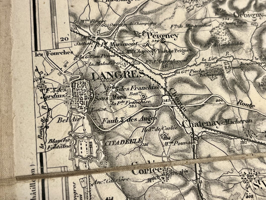
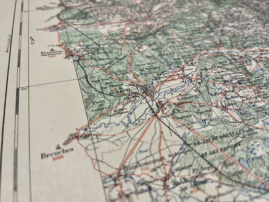
Antique map of Langres and its surroundings by the Dépôt de la Guerre - 1845
Regular price 65,00 €Regular priceUnit price per -
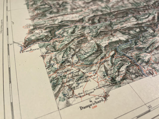
Damprichard Vicinal Service Map
Regular price 52,00 €Regular priceUnit price per -
Audincourt Vicinal Service Map
Regular price 52,00 €Regular priceUnit price per -
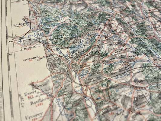
Belfort Vicinal Service Map
Regular price 52,00 €Regular priceUnit price per -
Map of the Echampés Vicinal Service
Regular price 52,00 €Regular priceUnit price per -
Pontarlier Vicinal Service Map
Regular price 52,00 €Regular priceUnit price per -
Morteau Local Service Map
Regular price 52,00 €Regular priceUnit price per -
Map of the Vicinal Service of Baume-les-Dames
Regular price 52,00 €Regular priceUnit price per -
Map of the Montbéliard Vicinal Service
Regular price 52,00 €Regular priceUnit price per -
Map of the Vicinal Service of Luxeuil-les-Bains
Regular price 52,00 €Regular priceUnit price per -
Saint-Claude Vicinal Service Map
Regular price 52,00 €Regular priceUnit price per