-
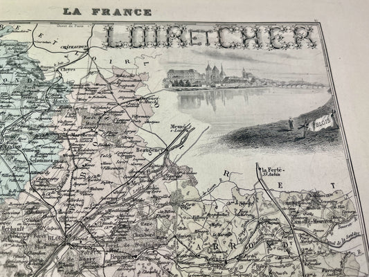
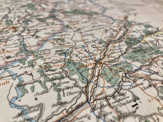
Old map of Loir-et-Cher by A. Vuillemin
Regular price 28,00 €Regular priceUnit price per -
Antique map of Loir-et-Cher by V. Levasseur
Regular price 31,00 €Regular priceUnit price per -
Old map of Loir-et-Cher by AH Dufour
Regular price 36,00 €Regular priceUnit price per -
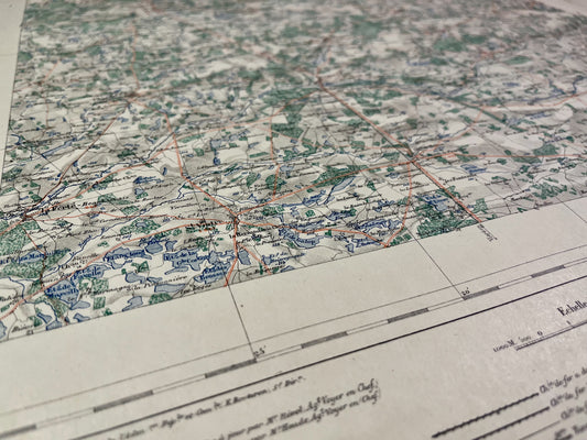
Vendôme Local Service Map
Regular price 52,00 €Regular priceUnit price per -
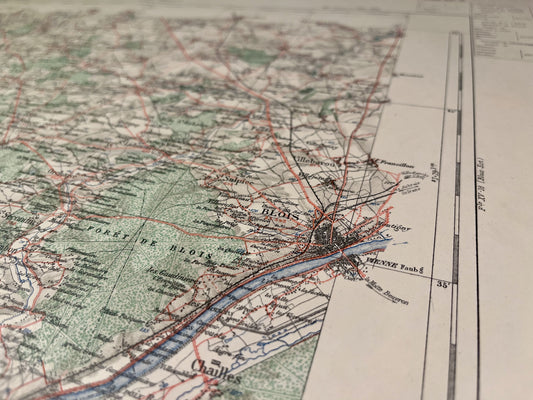
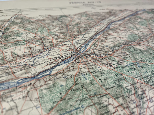
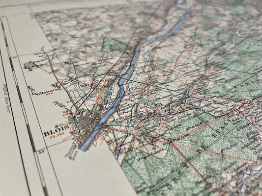
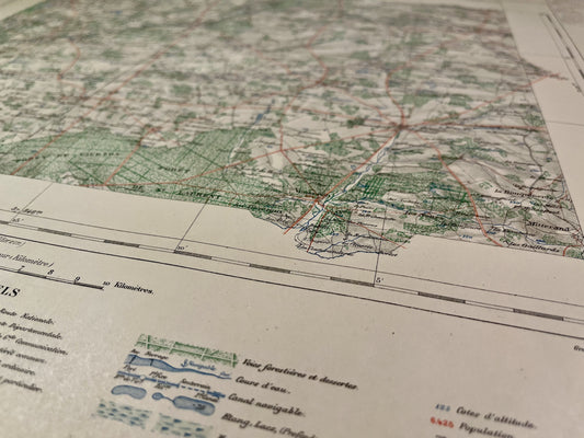
Map of the Blois Vicinal Service (West)
Regular price 52,00 €Regular priceUnit price per -
Amboise Vicinal Service Map
Regular price 52,00 €Regular priceUnit price per -
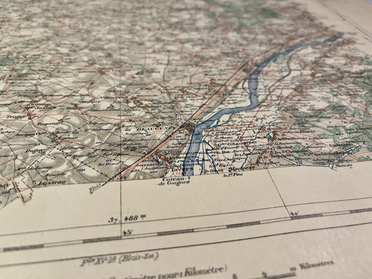
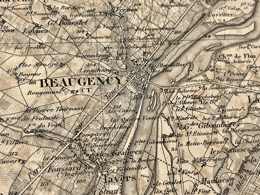
Beaugency Vicinal Service Map
Regular price 52,00 €Regular priceUnit price per -
Map of the Blois Vicinal Service (East)
Regular price 52,00 €Regular priceUnit price per -
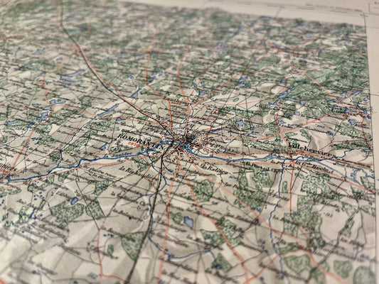
Romorantin Vicinal Service Map
Regular price 52,00 €Regular priceUnit price per -
Map of the Vicinal Service of La Ferté-Saint-Aubin
Regular price 52,00 €Regular priceUnit price per -
Salbris Vicinal Service Map
Regular price 52,00 €Regular priceUnit price per -
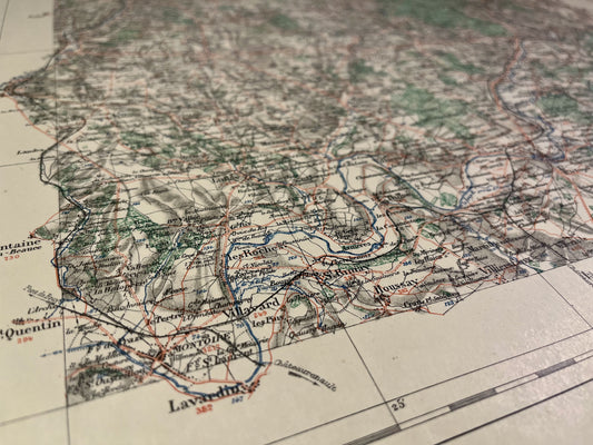
Antique map of Beaugency and its surroundings by the Dépôt de la Guerre - 1844
Regular price 65,00 €Regular priceUnit price per -
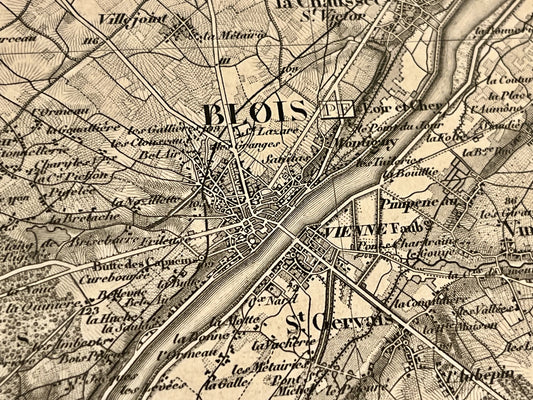
Antique map of Blois and its surroundings by the Dépôt de la Guerre - 1845
Regular price 65,00 €Regular priceUnit price per -
Small antique map of the Orléanais government by P. van der Aa - ca. 1710
Regular price 100,00 €Regular priceUnit price per -
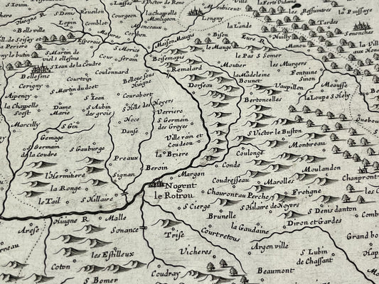
Antique map of Perche and Blois by P. Mariette - ca. 1650
Regular price 130,00 €Regular priceUnit price per -
Antique map of the General Government of Orléans by N. Sanson - 1651
Regular price 140,00 €Regular priceUnit price per -
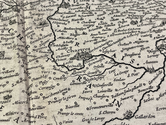
Antique map of the Beauce region by H. Hondius - ca. 1650
Regular price 150,00 €Regular priceUnit price per -
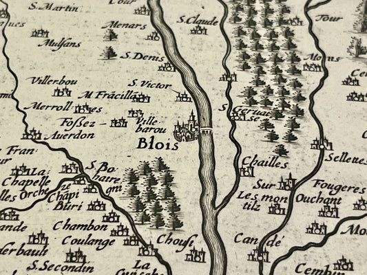
Antique map of the Blaisois region by J. Janssonius - ca. 1650
Regular price 170,00 €Regular priceUnit price per -
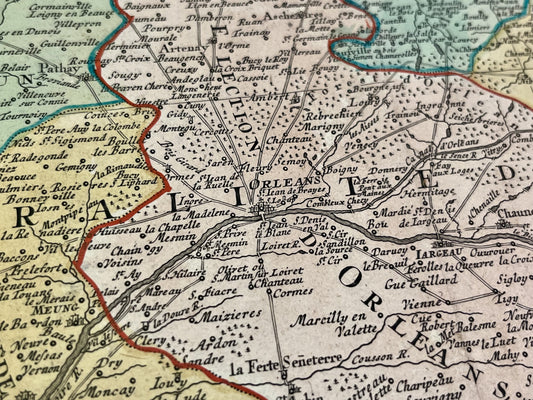
Antique map of the Government of Orleans by GA. Rizzi-Zannoni - 1762
Regular price 190,00 €Regular priceUnit price per -
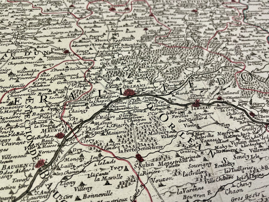
Antique map of the Generality of Orléans by H. Jaillot - 1719
Regular price 200,00 €Regular priceUnit price per -
Antique map of the General Government of the Pays Orléans by J. Blaeu - ca. 1660
Regular price 240,00 €Regular priceUnit price per -
Antique map of the General Prefecture of Orléans by G. Valk - ca. 1720
Regular price 250,00 €Regular priceUnit price per