-
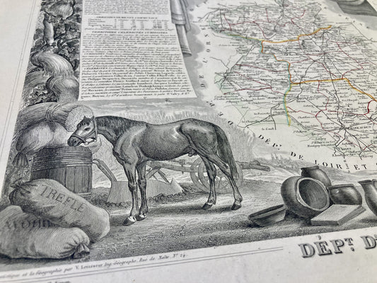
Antique map of Eure-et-Loir by V. Levasseur
Regular price 32,00 €Regular priceUnit price per39,00 €Sale price 32,00 €Sale -
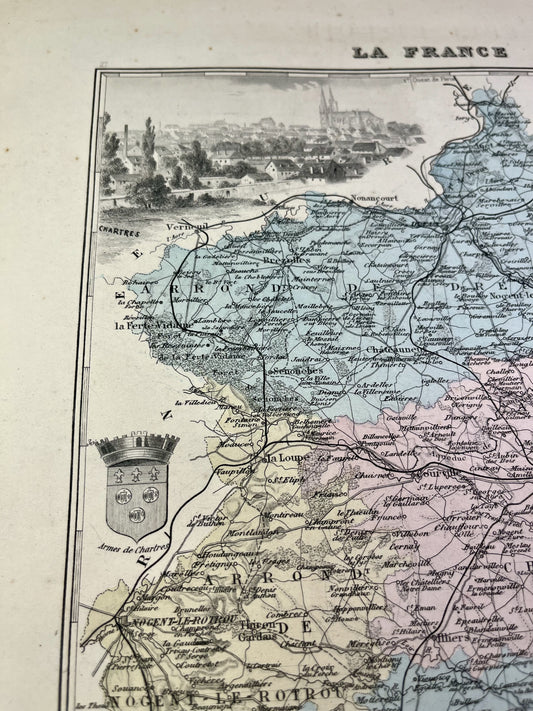
Old map of Eure-et-Loir by A. Vuillemin
Regular price 28,00 €Regular priceUnit price per35,00 €Sale price 28,00 €Sale -
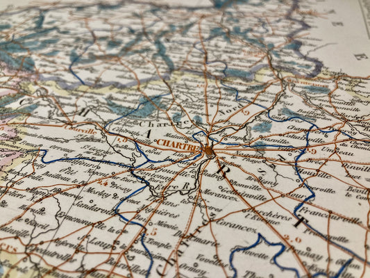
Old map of Eure-et-Loir by Th. Duvotenay
Regular price 30,00 €Regular priceUnit price per -
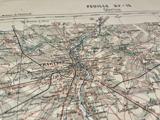
Cassini map of Chartres and its surroundings
Regular price 120,00 €Regular priceUnit price per -
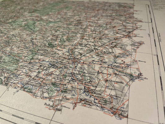
General Staff Map of Nogent-le-Rotrou and its surroundings
Regular price 100,00 €Regular priceUnit price per -
Old map of Paris and its surroundings
Regular price 150,00 €Regular priceUnit price per -
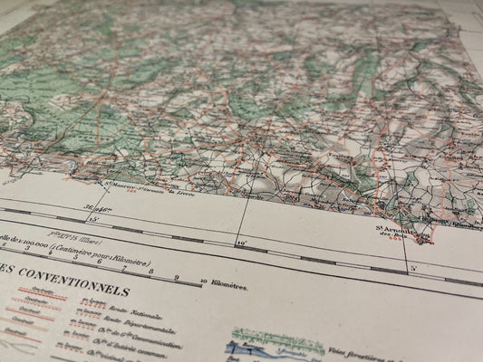
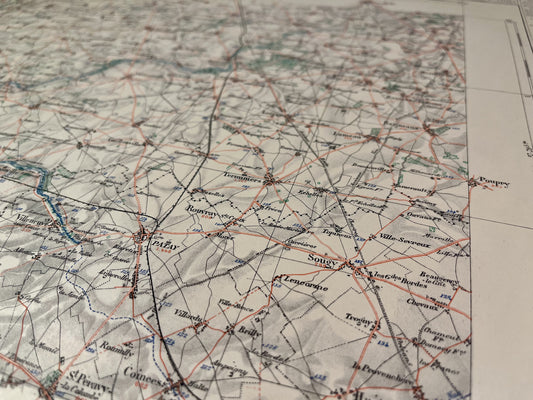
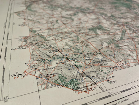
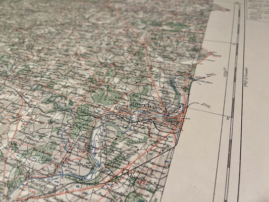
General Staff Map of Châteaudun and its surroundings
Regular price 100,00 €Regular priceUnit price per -
Old IGN map of Voves and its surroundings
Regular price 45,00 €Regular priceUnit price per -
Old IGN map of Dreux and its surroundings
Regular price 45,00 €Regular priceUnit price per -
Old IGN map of Châteaudun and its surroundings
Regular price 45,00 €Regular priceUnit price per -
Carte du Service Vicinal de Verneuil
Regular price 45,00 €Regular priceUnit price per -
Carte du Service Vicinal d'Étampes
Regular price 45,00 €Regular priceUnit price per -
Carte du Service Vicinal de Bonneval
Regular price 45,00 €Regular priceUnit price per -

 Sold out
Carte du Service Vicinal de Chartres
Regular price 45,00 €Regular priceUnit price per -
Carte du Service Vicinal de Dreux
Regular price 45,00 €Regular priceUnit price per -
Carte du Service Vicinal de Châteaudun
Regular price 45,00 €Regular priceUnit price per -

 Sold out
Carte du Service Vicinal d'Illiers
Regular price 45,00 €Regular priceUnit price per -
Antique map of Chartres by A. Bourgoin - 1889
Regular price 60,00 €Regular priceUnit price per