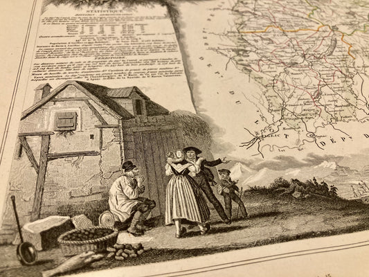
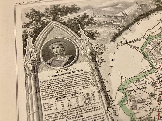
Discover the Auvergne region through antique maps of Haute-Auvergne, Limagne, Bourbonnais, or the volcanic lands of the Massif Central. They offer a strong reading of a relief-rich territory, encompassing geography, history, and rural heritage. And for more precision, discover my antique maps of Allier, Cantal, Haute-Loire, or Puy-de-Dôme.
Bring a bit of the Massif Central into your home with these antique maps of Auvergne. This historic region, rich in its landscapes, mountains and typical villages, offers real postcard settings. I offer you maps targeting specific areas, cities, or even an entire department like this antique illustrated map of Cantal.