Antique maps of Brittany
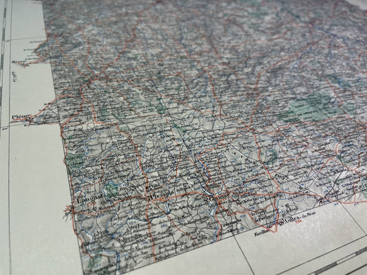
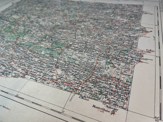
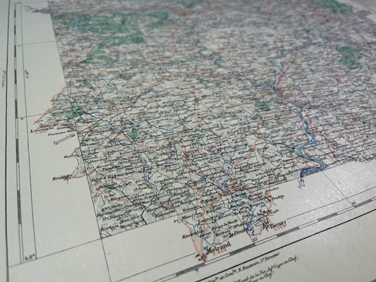
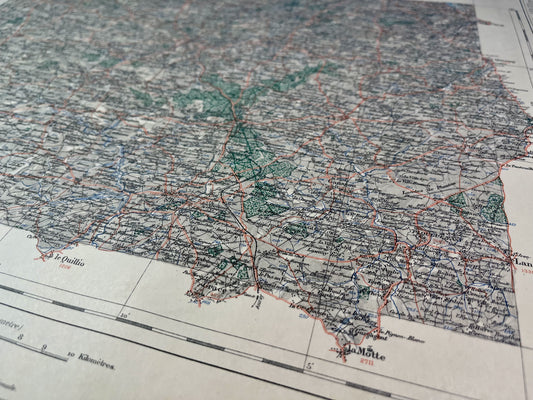
Discover my collection of antique geographical maps of Brittany. Immerse yourself in the fascinating history of this region of the North-East through authentic maps from the French General Staff, IGN, Cassini... Perfect for history lovers, collectors or as a gift.
-
Carte du Service Vicinal de l'Île d'Ouessant
Regular price 45,00 €Regular priceUnit price / per -
Carte du Service Vicinal de Landunvez
Regular price 45,00 €Regular priceUnit price / per -
Carte du Service Vicinal de Belle-Île-en-Mer (Ouest)
Regular price 45,00 €Regular priceUnit price / per -
Carte du Service Vicinal de Lamballe
Regular price 45,00 €Regular priceUnit price / per -
Carte du Service Vicinal de Belle-Île-en-Mer (Est)
Regular price 45,00 €Regular priceUnit price / per -

 Sold out
Carte du Service Vicinal de Vannes
Regular price 45,00 €Regular priceUnit price / per -
Carte du Service Vicinal de Pluvigner
Regular price 45,00 €Regular priceUnit price / per -
Carte du Service Vicinal de Pontivy
Regular price 45,00 €Regular priceUnit price / per -
Carte du Service Vicinal de Quintin
Regular price 45,00 €Regular priceUnit price / per -
Carte du Service Vicinal de Saint-Brieuc
Regular price 45,00 €Regular priceUnit price / per -

 Sold out
Carte du Service Vicinal de Paimpol
Regular price 45,00 €Regular priceUnit price / per -
Carte du Service Vicinal de Lorient avec l'Île de Groix
Regular price 45,00 €Regular priceUnit price / per -
Carte du Service Vicinal de Quimperlé
Regular price 45,00 €Regular priceUnit price / per -
Old marine map from Quiberon to Penerf
Regular price 50,00 €Regular priceUnit price / per60,00 €Sale price 50,00 €Sold out -
Old nautical chart from Lorient to Gironde
Regular price 60,00 €Regular priceUnit price / per -
Old nautical chart from Ouessant to the Loire
Regular price 60,00 €Regular priceUnit price / per -
Old nautical chart of the Bay of Quiberon
Regular price 60,00 €Regular priceUnit price / per -
Old nautical chart of the Island of Groix
Regular price 60,00 €Regular priceUnit price / per -
Old marine map from Belle-Île to Île d'Yeu
Regular price 60,00 €Regular priceUnit price / per -
Old nautical chart of Pointe du Grand-Mont in Le Croisic
Regular price 60,00 €Regular priceUnit price / per -
Old nautical chart from Lorient to Belle-Île and Quiberon
Regular price 60,00 €Regular priceUnit price / per -
Old nautical chart of the entrance to Morbihan
Regular price 60,00 €Regular priceUnit price / per -
Old nautical chart of the entrance to the English Channel
Regular price 65,00 €Regular priceUnit price / per -
Old marine map from the Pointe de Trévignon to Lorient
Regular price 65,00 €Regular priceUnit price / per
Bring a little sea air into your home with these antique maps of Brittany. This historic region, rich in its landscapes, its strong regional culture and its typical villages, offers real postcard settings. I offer you maps targeting specific areas, cities, or even an entire department like this antique illustrated map of Morbihan.
Choose which era of Brittany you want to discover by immersing yourself in Cassini maps, French General Staff maps or even old IGN maps.
At Vos Carte Ancienne, I am committed to offering you quality historical maps of France and the World. In Brittany, for example, you can discover all the departments thanks to my antique maps of Finistère, of the Côtes d’Armor, of Morbihan and of Ille-et-Vilaine. And if you want to leave Brittany, I also have beautiful antique maps of Normandy and Pays de la Loire.


