-
Map of the Fougères Vicinal Service
Regular price 52,00 €Regular priceUnit price per -
Vitré Local Service Map
Regular price 52,00 €Regular priceUnit price per -
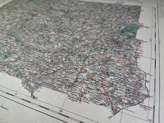
Map of the Vicinal Service of Guerche-de-Bretagne
Regular price 52,00 €Regular priceUnit price per -
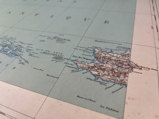
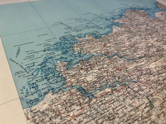
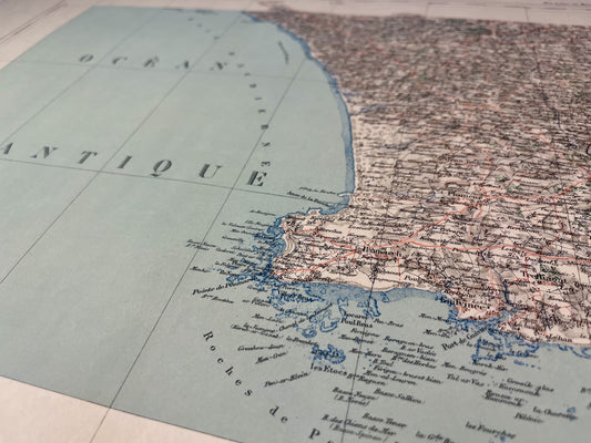
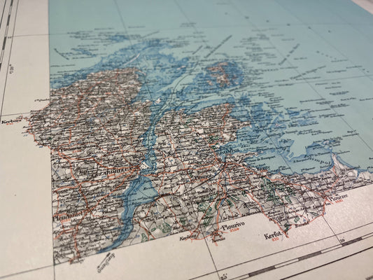
Antique map of Finistère by V. Levasseur
Regular price 54,00 €Regular priceUnit price per -
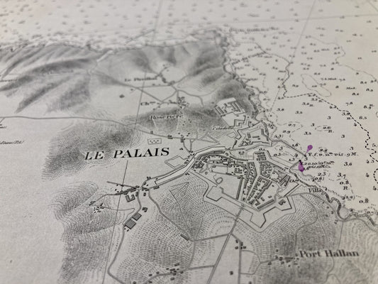
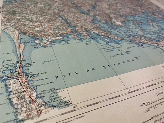
Old nautical chart of Belle-Île - Rade du Palais
Regular price 60,00 €Regular priceUnit price per -
Plogoff Vicinal Service Map
Regular price 64,00 €Regular priceUnit price per -
Lesneven Local Service Map
Regular price 64,00 €Regular priceUnit price per -
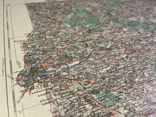
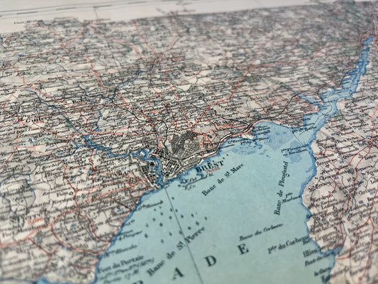
Brest Vicinal Service Map
Regular price 64,00 €Regular priceUnit price per -
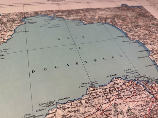
Douarnenez Vicinal Service Map
Regular price 64,00 €Regular priceUnit price per -
Map of the Pont-l'Abbé Vicinal Service
Regular price 64,00 €Regular priceUnit price per -
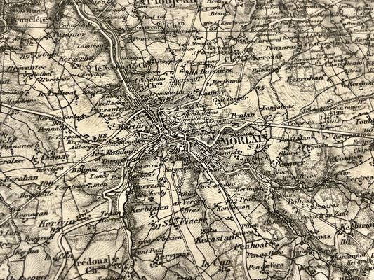
Morlaix Vicinal Service Map
Regular price 64,00 €Regular priceUnit price per -
Quimper Local Service Map
Regular price 64,00 €Regular priceUnit price per -
Map of the Tréguier Vicinal Service
Regular price 64,00 €Regular priceUnit price per -
Map of the Lannion Vicinal Service
Regular price 64,00 €Regular priceUnit price per -
Quimperlé Local Service Map
Regular price 64,00 €Regular priceUnit price per -
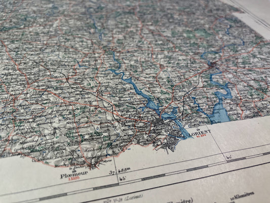
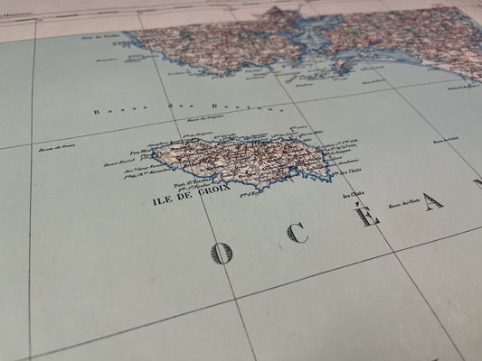
Map of the Vicinal Service of Lorient with the Island of Groix
Regular price 64,00 €Regular priceUnit price per -
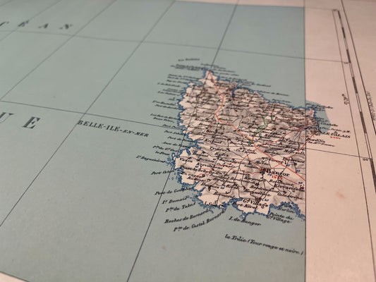
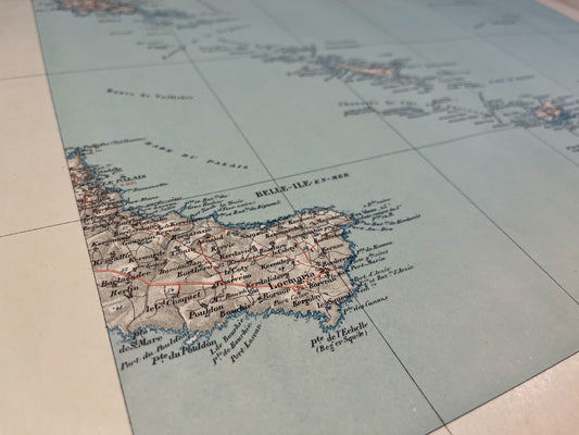
Map of the Vicinal Service of Belle-Île-en-Mer (West)
Regular price 64,00 €Regular priceUnit price per -
Paimpol Vicinal Service Map
Regular price 64,00 €Regular priceUnit price per -
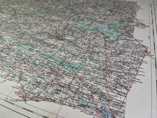
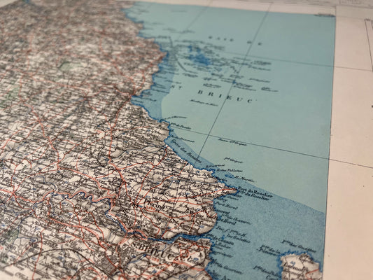
Map of the Saint-Brieuc Vicinal Service
Regular price 64,00 €Regular priceUnit price per -

 Sold out
Vannes Vicinal Service Map
Regular price 64,00 €Regular priceUnit price per -
Map of the Vicinal Service of Belle-Île-en-Mer (East)
Regular price 64,00 €Regular priceUnit price per -

 Sold out
Map of the Plancoët Vicinal Service
Regular price 64,00 €Regular priceUnit price per -
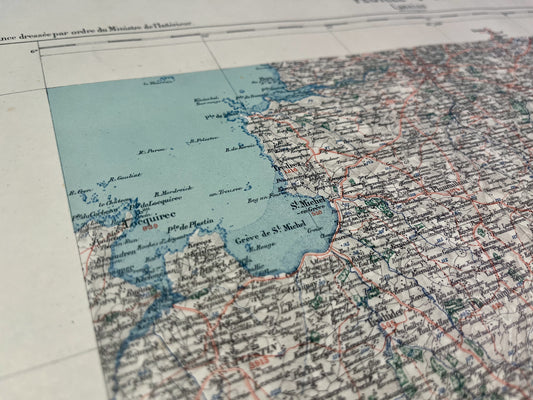
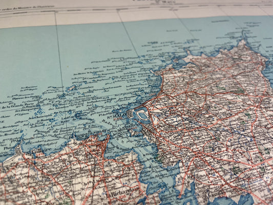
Saint-Malo Vicinal Service Map
Regular price 64,00 €Regular priceUnit price per -
Carte ancienne de Morlaix et ses environs par le Dépôt de la Guerre - 1856
Regular price 65,00 €Regular priceUnit price per