-
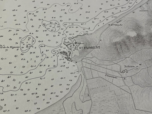
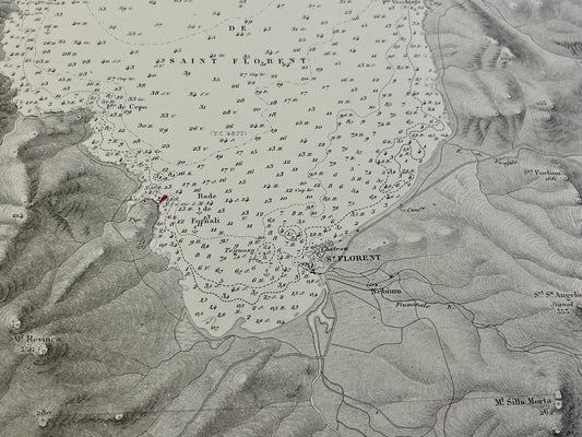
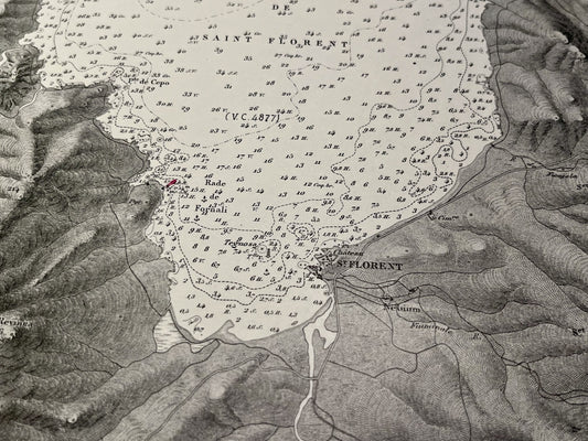
Antique nautical chart of the Gulf of Saint-Florent
Regular price 80,00 €Regular priceUnit price per -
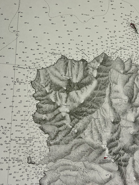
Antique nautical chart of the southern part of the Cap Corse peninsula
Regular price 80,00 €Regular priceUnit price per -
Old nautical chart from Cape Pertusato to Pointe de Sénétose
Regular price 85,00 €Regular priceUnit price per -
Antique nautical chart from the Pointe de Sénétose to Cap Muro
Regular price 85,00 €Regular priceUnit price per -
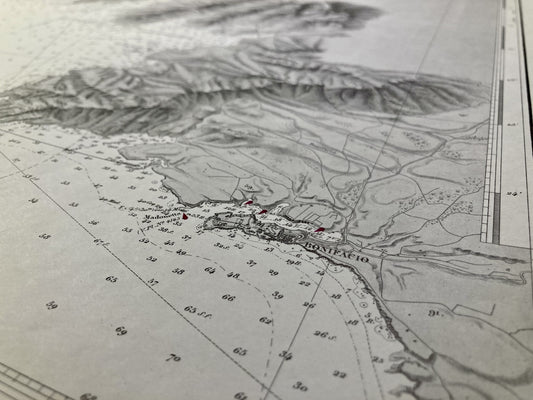
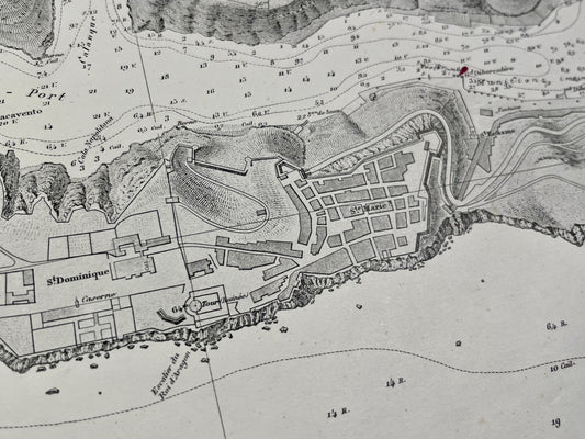
Antique nautical chart of the port of Bonifacio
Regular price 95,00 €Regular priceUnit price per -
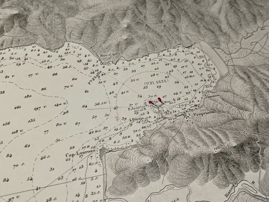
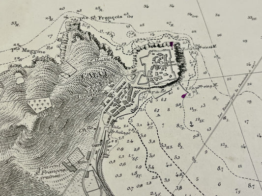
Antique nautical chart of the ports of Calvi and Propriano
Regular price 95,00 €Regular priceUnit price per -
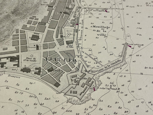
Antique nautical chart of the Bay of Ajaccio
Regular price 95,00 €Regular priceUnit price per -
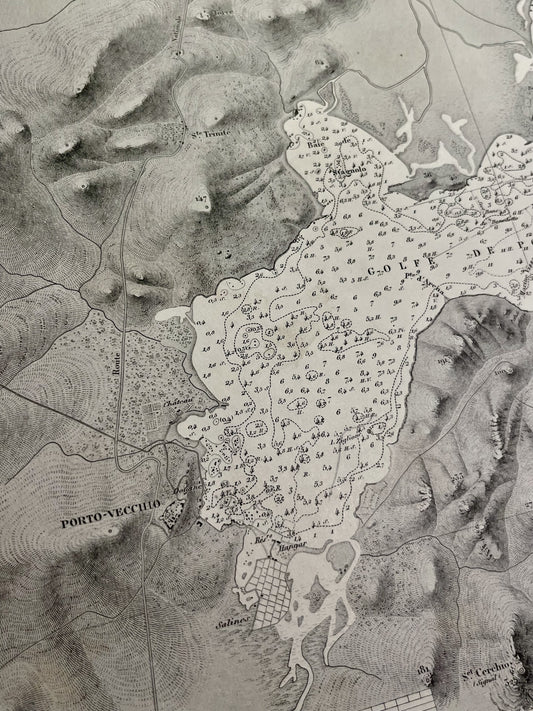
Antique nautical chart from Solenzara to Porto-Vecchio
Regular price 100,00 €Regular priceUnit price per -
Antique nautical chart of the Cap Corse peninsula
Regular price 105,00 €Regular priceUnit price per -
Antique nautical chart of Île Rousse to Saint-Florent
Regular price 105,00 €Regular priceUnit price per -
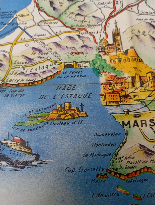
Old illustrated geographical map of Provence and Corsica by O. Poisson - ca. 1950
Regular price 199,00 €Regular priceUnit price per -
Antique map of Corsica by PG Chanlaire - ca. 1820
Regular price 750,00 €Regular priceUnit price per