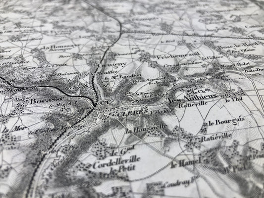
Antique maps of Seine-Maritime
Explore the geography of the department thanks to my antique maps of Seine-Maritime. To go further, don't miss my collection of antique maps of Normandy. Perfect for collecting or decorating, for yourself or as a gift!
-
General Staff Map of Neufchâtel and its surroundings
Regular price 100,00 €Regular priceUnit price / per -
Cassini map of Forges-les-Eaux and its surroundings
Regular price 100,00 €Regular priceUnit price / per -
Cassini map of Dieppe and its surroundings
Regular price 100,00 €Regular priceUnit price / per -
Old map of Normandy by JB. Nolin - ca. 1700
Regular price 190,00 €Regular priceUnit price / per230,00 €Sale price 190,00 €Sold out
Bring a bit of Normandy home with these antique maps of Seine-Maritime. Normandy, rich in its landscapes, seafronts and typical villages, offers real postcard settings. I offer you maps targeting specific areas, cities, or even the entire department like this antique illustrated map of Seine-Maritime.
Choose which era of Seine-Maritime you want to discover by immersing yourself in Cassini maps, General Staff maps or even old IGN maps.
Haven't found the antique map of your dreams? Unfortunately, I may not have it in stock, so I invite you to discover my antique maps of Normandy or even my antique maps of Picardy. And if you feel like a traveler, explore the neighboring departments with my antique maps of Eure, Somme and Oise.


