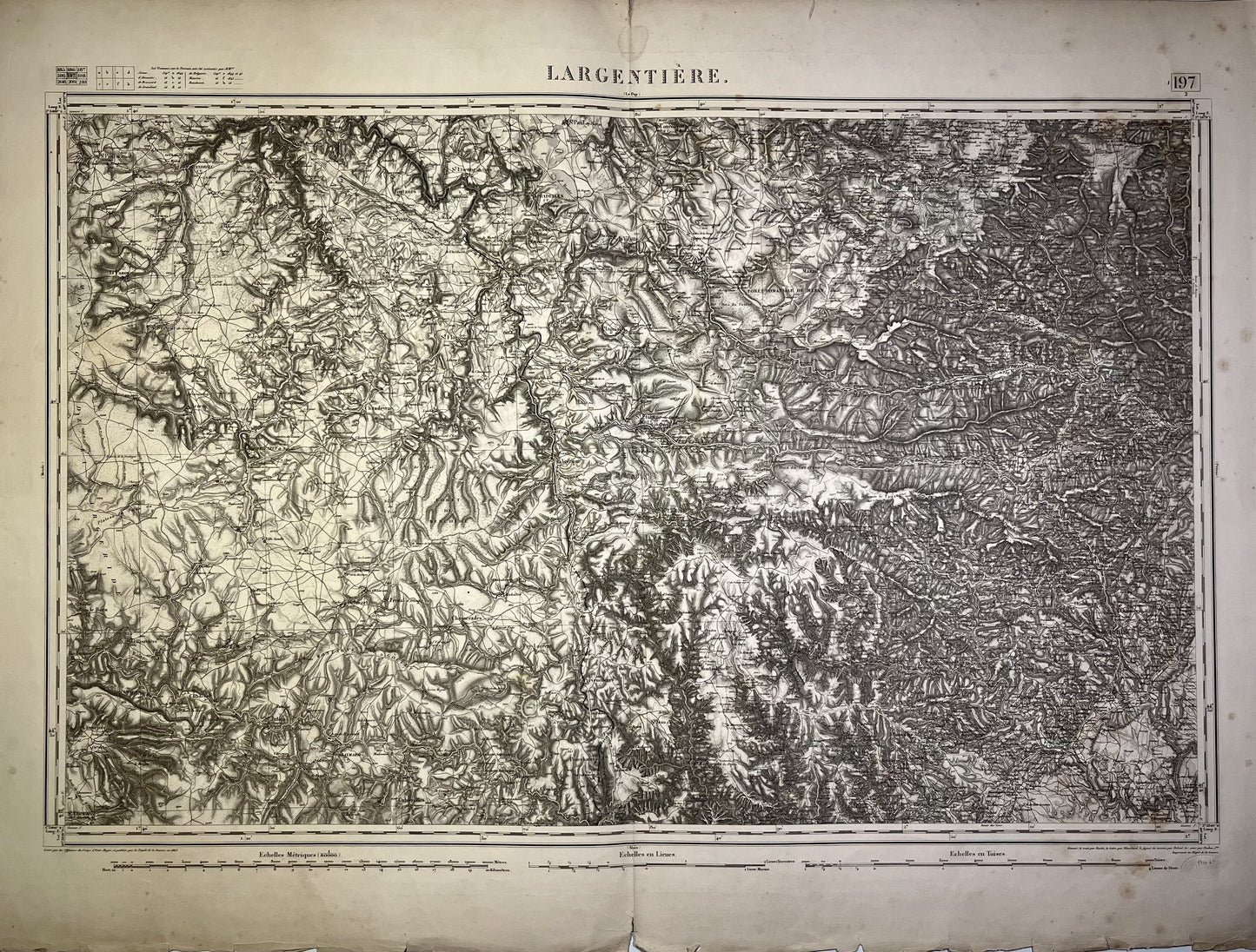
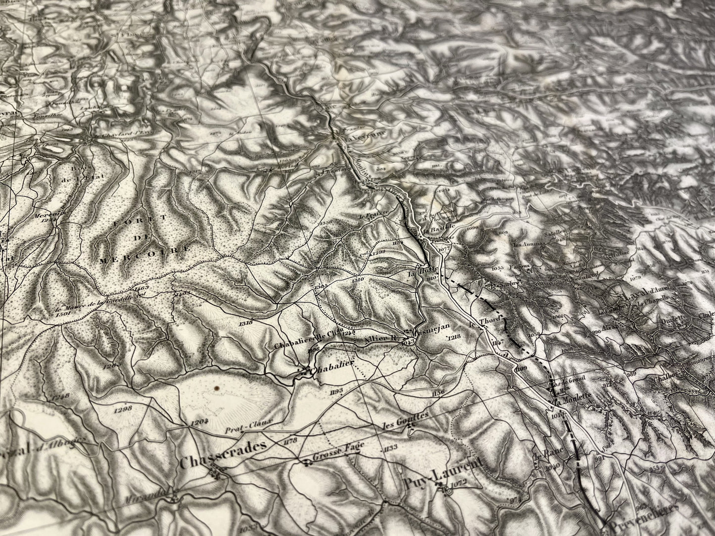
Antique map of Largentière and its surroundings by the Dépôt de la Guerre
Antique map of Largentière and its surroundings by the Dépôt de la Guerre
Couldn't load pickup availability
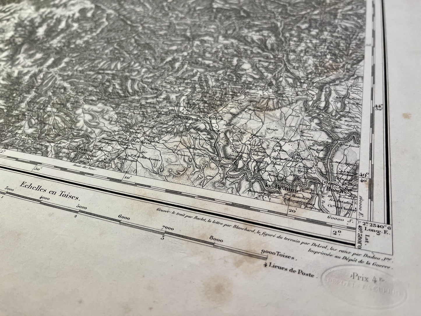
This General Staff map entitled "Largentière" (No. 197) was printed by the Dépôt de la Guerre before 1887 on thick paper measuring 89x67cm.
Condition:
Tears on the edges and stains. Be careful, these maps are old and are not always in perfect condition!
List of towns and villages represented:
Ruonis, la Beaume, Joyeuse, la Blachère, Payzac, Faugères, Plauzolles, Vernon, Laurac, Montréal, Largentière, Souillac, Sablières, Thines, Montselgues, Planchamp, Dompnac, Rocles, Joannas, Thauriers, Rocher, Chazeaux, Ailhon, Prunet, Jaujac, Prades, Fabras, Borne, Mayres, Nuigles, Meyras, Thueyts, la Narée, Asperjoc, Juvinas, Montpezat, Laviolle, la Bastide, Saint-Cirgues, Combret, Cubières, Cubières, Cubiérettes, Bleymard, Saint-Julien-de-Tournel, Bagnols-les-Bains, Chadenet, Lanuéjols, Sainte-Hélène, Allene, Belvezet, Chasserades, Puy-Laurent, Prévéchés, Purcharesse, Veyrune, Luc, Chateauneuf-de-Randon, Chaudeyrac, Cellier-de-Luc, Plagnial, Langoune, Saint-Flour, Pierrefiche, Panouse, Pradelles, Naussac, Fontanes, Grandrieu


