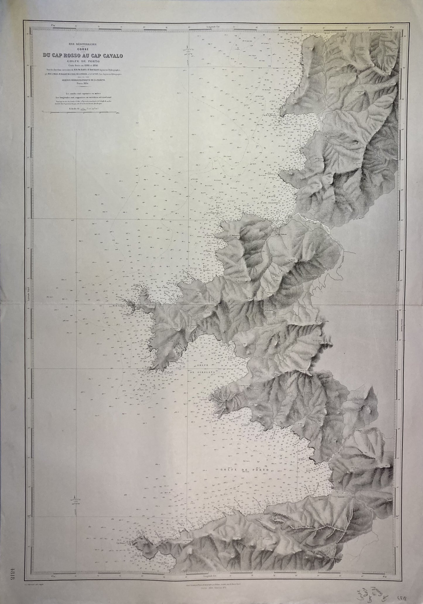
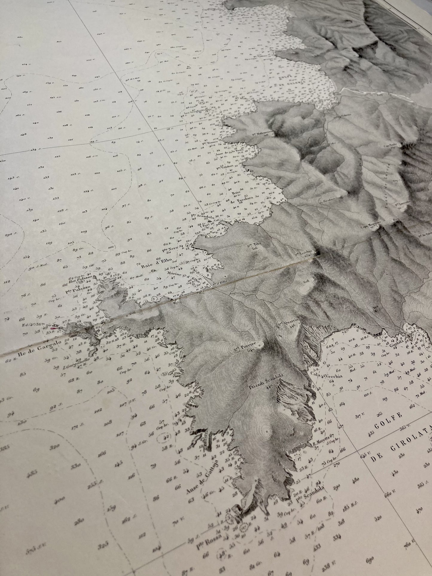
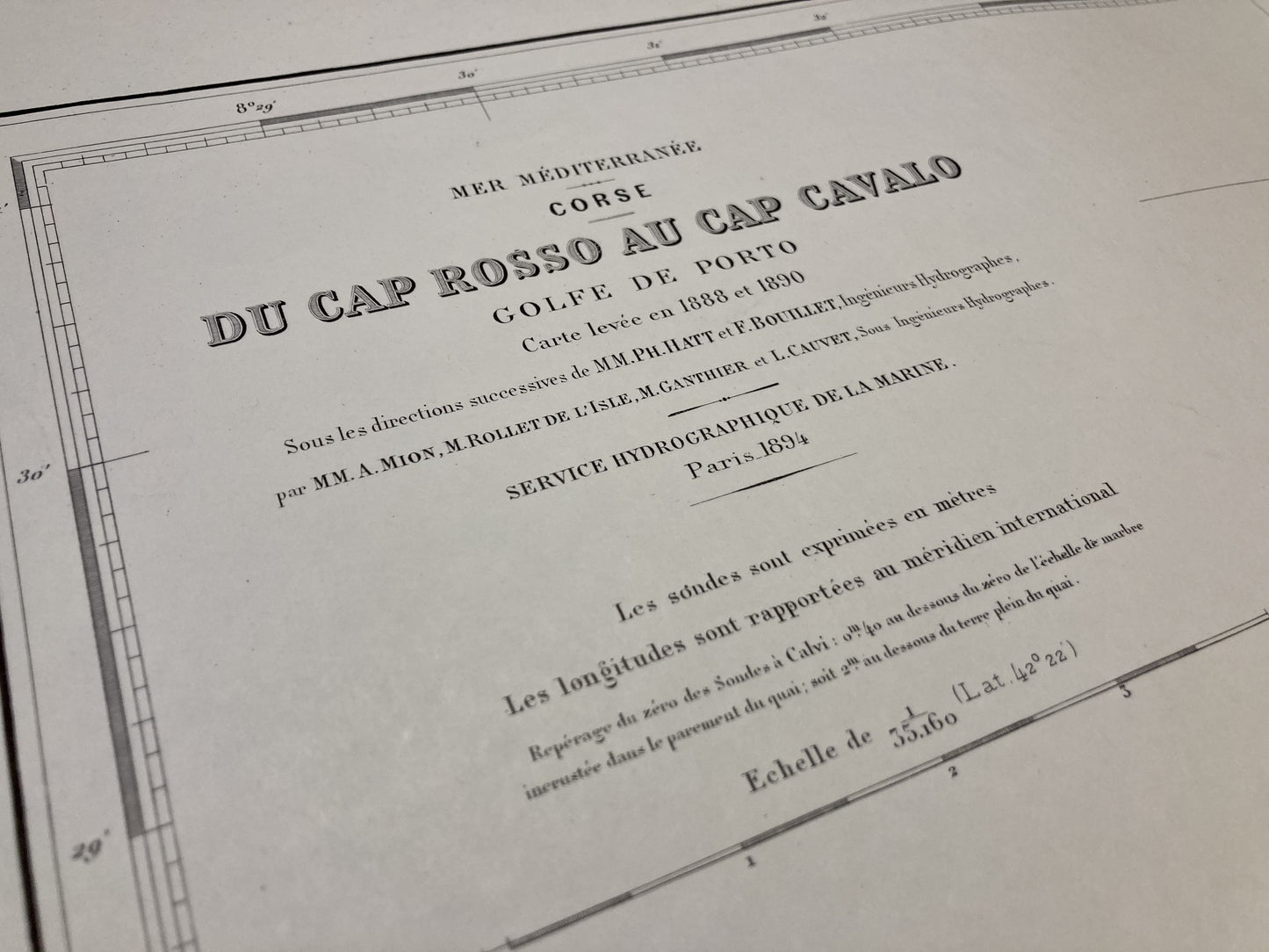
Skip to product information
1 of 3

Old nautical chart from Cape Rosso to Cape Cavalo

Old nautical chart from Cape Rosso to Cape Cavalo

Regular price 75,00 €
Regular price Sale price 75,00 €
Sale Sold out
Taxes included.

This old nautical chart of Corsica, from Cape Rosso to Cape Cavalo, was produced by the Service Hydrographique de la Marine, ancestor of the SHOM. It dates from the middle of the 20th century and its size is 105x74cm.

Condition:

Fold in the center and stains on the left edge. Please note, my maps are old and are not always in perfect condition!

View full details
  • “Hello, thank you for sending this, the cards are superb!”

    Jean-Philippe

  • "They are very beautiful, just need to frame them! Thank you"

    Baptiste

  • "Fast shipping and very good tracking."

    Alice

  • "My husband loved the maps I gave him for Christmas!"

    Solène

1 of 4
  • Secure payment

  • Careful shipping

  • No reproduction

  • Satisfied or refunded

1 of 4