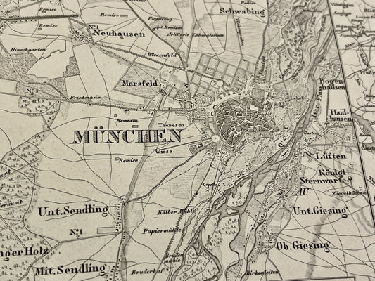
A Career at the Weimar Geographical Institute
Carl Ferdinand Weiland (1782–1847) is a central figure of the Weimar Geographical Institute, one of Germany's most important cartographic production centers in the 19th century. Hired by this institute, he worked there as a cartographer and geographer, succeeding figures such as Friedrich Wilhelm Streit. His output is characterized by great meticulousness, with Weiland recognized for producing some of the largest and most detailed maps of his time, especially for sparsely documented regions.
Cartographic Excellence and the Universal Atlas
One of Carl Ferdinand Weiland's most significant contributions is his input to the "Allgemeiner Hand-Atlas der ganzen Erde" (General Hand-Atlas of the Whole Earth). His maps are distinguished by the use of high-quality copper engraving and particular attention to topographical and political details. He notably worked on maps of North America, South America, and various European regions. Due to his position at the Weimar Institute, he had access to the latest geographical data and discoveries, which he systematically integrated into his updates.
Recognition and Technical Influence
Weiland's talent was not limited to simply drawing maps; he also supervised important editorial projects. In 1817, he is mentioned as having taken an active part in the management of the Weimar Geographical Institute. His maps were renowned for their clarity and accuracy, making him one of the most respected German cartographers of the first half of the 19th century. Although his name is less known to the general public today, his plates remain references for the study of the political geography of the Biedermeier period.