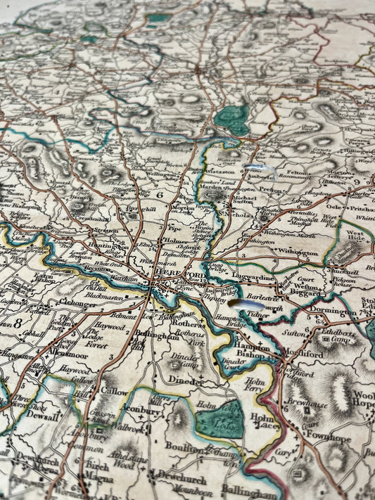
A reference publisher in London
Charles Smith operated from his establishment at 172 Strand Street in London. Although less prolific than some of his contemporaries like Cary or Pinkerton, he gained a solid reputation for the clarity and precision of his engravings. His work is in the tradition of English cartography of the Regency period, characterized by an elegant style and updated geographical information.
In recognition of the quality of his publications, he was awarded the title of "Mapseller to His Majesty," a distinction that highlights his rank among the leading London cartographers of the time.
Smith's Atlas and County Maps
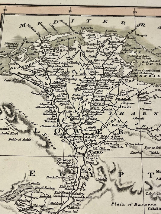
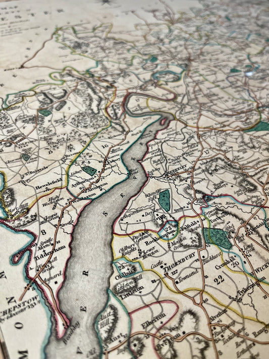
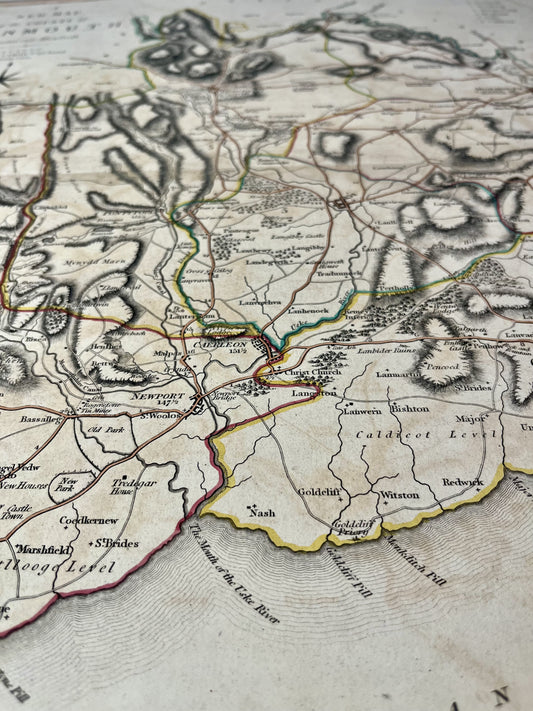
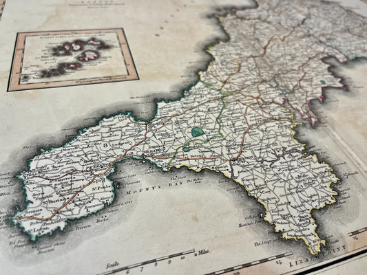
Charles Smith's most famous work is his New English Atlas, first published in 1804. This work is particularly esteemed for its county maps of England and Wales. These maps are distinguished by:
- Fine and detailed engraving on copper.
- Regular updates of road and canal networks.
- A format often adapted to be cut, linen-backed, and folded, thus facilitating their transport by travelers and merchants.
He also produced the New General Atlas, covering different parts of the world, as well as wall maps and globes.
Innovation and dissemination
Charles Smith was one of the first to systematically integrate new geographical discoveries and administrative changes into his reissues. His pocket maps, often protected by cardboard or leather cases, were highly valued for their robustness and readability. His business lasted for several decades, maintaining a high standard of quality in the map trade in London until the mid-19th century.