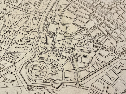
A Master of Urban Topography in London
Born Jean Rocque into a family of French Huguenots who had emigrated to England, he began his career by creating maps of estates and gardens. His most monumental work is his map of London, published in 1746 after several years of work begun in 1737. Titled A Plan of the Cities of London and Westminster, and the Borough of Southwark, this document is engraved on 24 sheets and offers an unprecedentedly precise view for the time, detailing every street and every building in the metropolis.
Mapping Cities in Ireland and Europe
John Rocque's influence extends beyond London. In 1754, he moved to Dublin where he created the city plan (An Exact Survey of the City and Suburbs of Dublin) published in 1756. This work is considered one of the finest examples of urban cartography of the era, capturing the architectural boom of the Irish capital. He also produced maps of other important cities like Exeter and Bristol, as well as representations of Middlesex County in 1754.
Technical Diversity and Royal Recognition
Beyond city plans, John Rocque published a complete atlas titled The English Traveller, bringing together maps of the counties of England. His talent led him to become the official cartographer to the Prince of Wales, later George III. His engraving technique and his attention to topographical detail left a lasting mark on 18th-century cartography, influencing generations of British and Irish geographers who succeeded him.