The Founding of an Institution in Gotha
The company was founded by Justus Perthes (1749-1816) in Gotha in 1785. Initially focused on publishing books and almanacs, such as the famous Almanach de Gotha, the firm took a decisive turn towards geography under the direction of his son, Wilhelm Perthes (1793-1853). By recruiting the best cartographers and geographers of his time, the firm transformed the city of Gotha into a global center for cartographic research, a position it maintained for over a century.
The Influence of Perthes Atlases
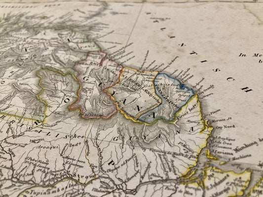
The international renown of the firm rested on monumental works that redefined the standards of the era. The most emblematic is the Stieler Handatlas, initiated by Adolf Stieler in 1817, which remained the reference world atlas for its accuracy until the mid-20th century. The firm also published the Physikalischer Atlas by Heinrich Berghaus (1845), the first major thematic atlas dedicated to natural sciences, as well as the works of illustrious cartographers like August Petermann.
Innovation in the Service of Geography
Justus Perthes was not content with merely publishing maps; the firm was a true scientific laboratory. In 1855, August Petermann founded the journal Petermanns Geographische Mitteilungen, which became the most influential media outlet for the publication of new geographical discoveries and exploration reports, particularly in Africa and the polar regions. The precision of its copperplate engravings and the constant updating of data made Perthes the official supplier to numerous European academic institutions.
A Century-Old Cartographic Legacy
After World War II, the company split into East and West branches. The Gotha branch, under the name VEB Hermann Haack, continued to produce high-quality educational material, while a branch remained in Darmstadt. Despite these political upheavals, the name Justus Perthes remains associated with the golden age of German cartography, marking the transition from decorative cartography to purely scientific and documentary cartography.