-
Map of the Vicinal Service of Tartas
Regular price 52,00 €Regular priceUnit price per -
Dax Vicinal Service Map
Regular price 52,00 €Regular priceUnit price per -
Orthez Vicinal Service Map
Regular price 52,00 €Regular priceUnit price per -
Map of the Vicinal Service of Mauléon-Licharre
Regular price 52,00 €Regular priceUnit price per -
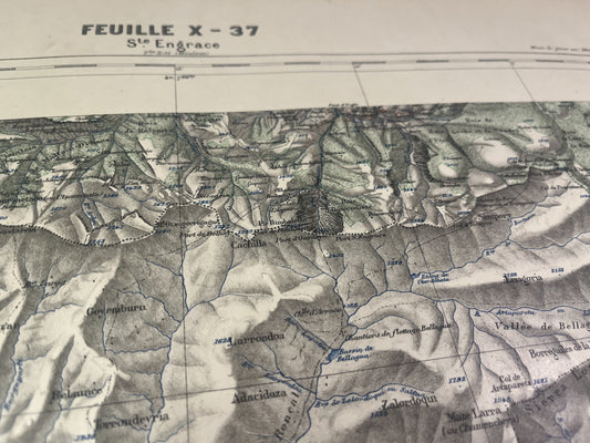
Sainte-Engrace Vicinal Service Map
Regular price 52,00 €Regular priceUnit price per -
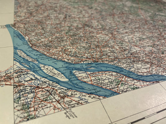
Blaye Local Service Map
Regular price 52,00 €Regular priceUnit price per -
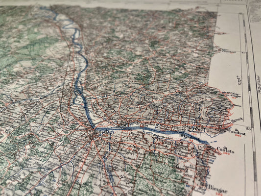
Map of the Langon Vicinal Service
Regular price 52,00 €Regular priceUnit price per -
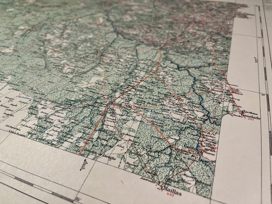
Map of the Bazas Vicinal Service
Regular price 52,00 €Regular priceUnit price per -
Roquefort Vicinal Service Map
Regular price 52,00 €Regular priceUnit price per -
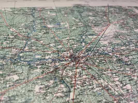
Map of the Mont-de-Marsan Vicinal Service
Regular price 52,00 €Regular priceUnit price per -
Map of the Vicinal Service of Aire-sur-l'Adour
Regular price 52,00 €Regular priceUnit price per -
Pau Vicinal Service Map
Regular price 52,00 €Regular priceUnit price per -
Map of the Vicinal Service of Oloron-Sainte-Marie
Regular price 52,00 €Regular priceUnit price per -
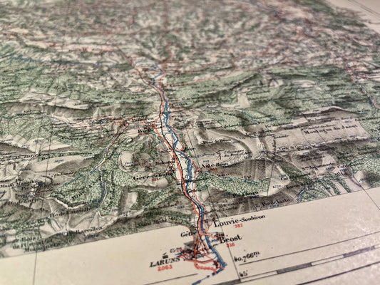
Laruns Local Service Map
Regular price 52,00 €Regular priceUnit price per -
Coutras Local Service Map
Regular price 52,00 €Regular priceUnit price per -
Map of the Vicinal Service of Castillon-la-Bataille
Regular price 52,00 €Regular priceUnit price per -
Map of the Vicinal Service of La Réole
Regular price 52,00 €Regular priceUnit price per -
Marmande Local Service Map
Regular price 52,00 €Regular priceUnit price per -
Map of the Nérac Vicinal Service
Regular price 52,00 €Regular priceUnit price per -
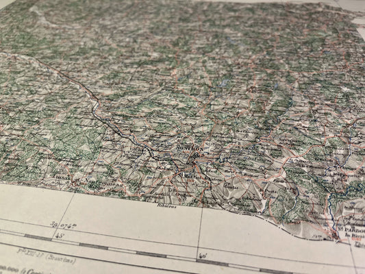
Nontron Vicinal Service Map
Regular price 52,00 €Regular priceUnit price per -
Map of the Brantôme Vicinal Service
Regular price 52,00 €Regular priceUnit price per -
Map of the Perigueux Vicinal Service
Regular price 52,00 €Regular priceUnit price per -
Bergerac Vicinal Service Map
Regular price 52,00 €Regular priceUnit price per -
Map of the Monflanquin Vicinal Service
Regular price 52,00 €Regular priceUnit price per