Antique maps of the Manche
-
Old map of Normandy by JB. Nolin - ca. 1700
Regular price 190,00 €Regular priceUnit price / per230,00 €Sale price 190,00 €Sold out -
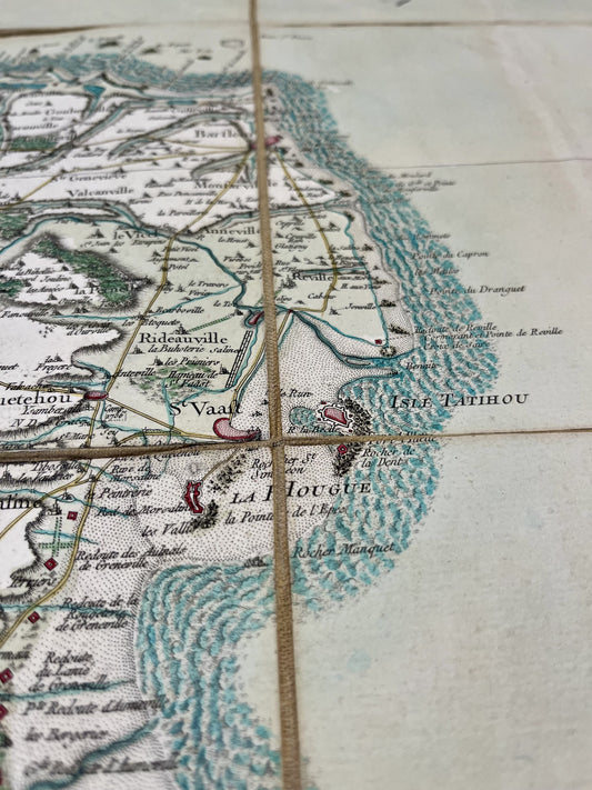
Cassini map of Saint-Vaast-la-Hougue, Barfleur and their surroundings - 1758
Regular price 320,00 €Regular priceUnit price / per320,00 €Sale price 320,00 €
Immerse yourself in the History of France thanks to my antique maps of the Manche. The historic region of Normandy, rich in its cultural heritage and its magnificent towns such as Cherbourg and Granville, offers so much to discover. I offer you maps targeting specific areas, cities, or even the entire department like this antique illustrated map of the Manche.
I offer you various representations of the Channel: antique nautical charts, antique General Staff maps, Cassini maps...
At Vos Carte Ancienne, I am committed to offering you quality historical maps of France and the World. In the North West, for example, you will find many antique maps of Normandy, antique maps of Brittany but also illustrated maps of Ille-et-Vilaine, antique maps of Mayenne, antique maps of Calvados…


