


Cassini map of Saint-Vaast-la-Hougue, Barfleur and their surroundings
Cassini map of Saint-Vaast-la-Hougue, Barfleur and their surroundings
Couldn't load pickup availability
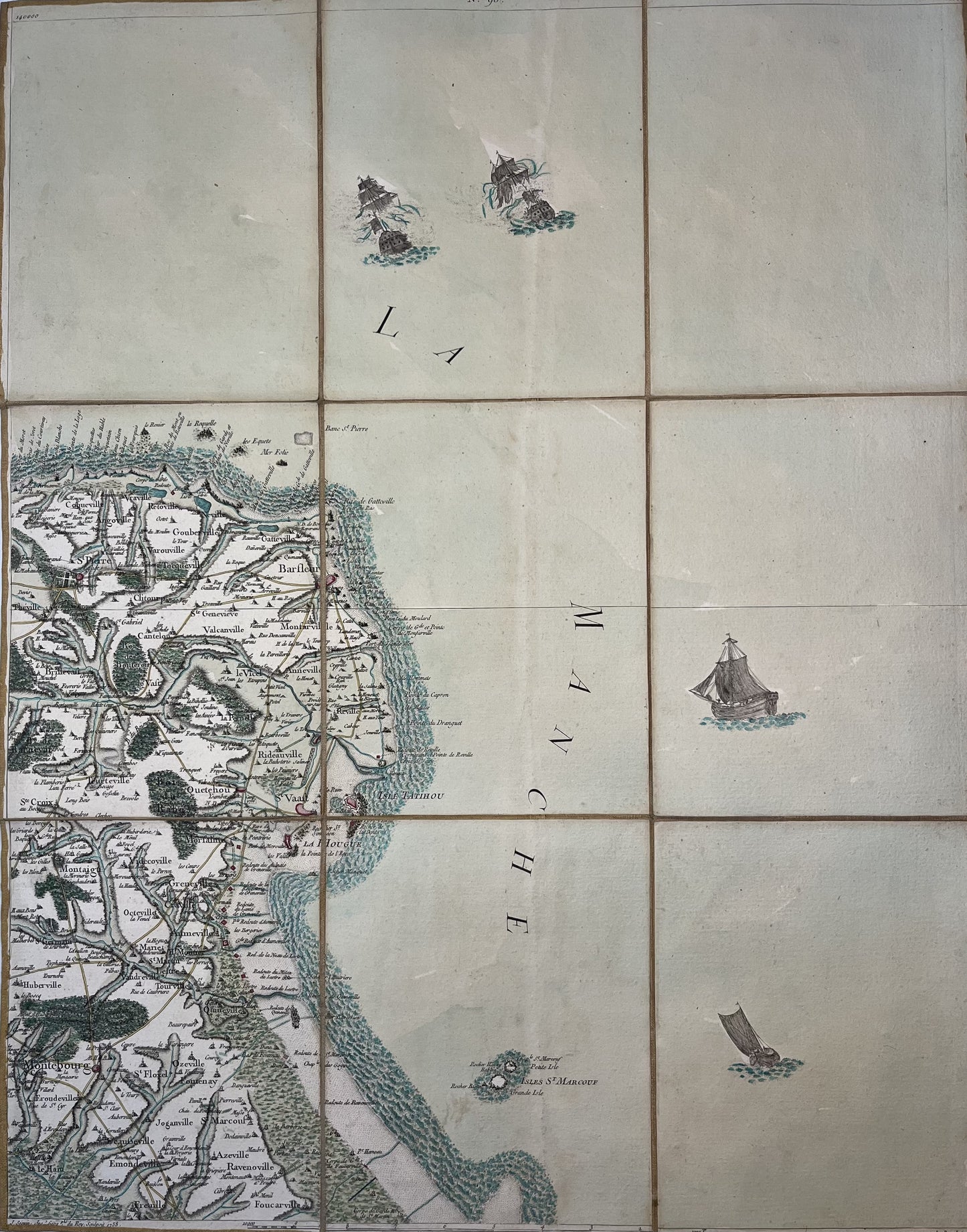
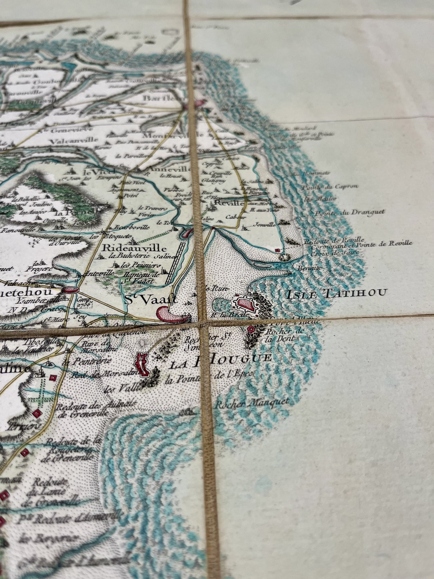
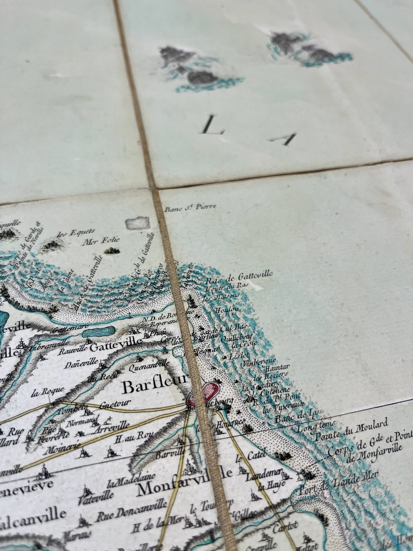
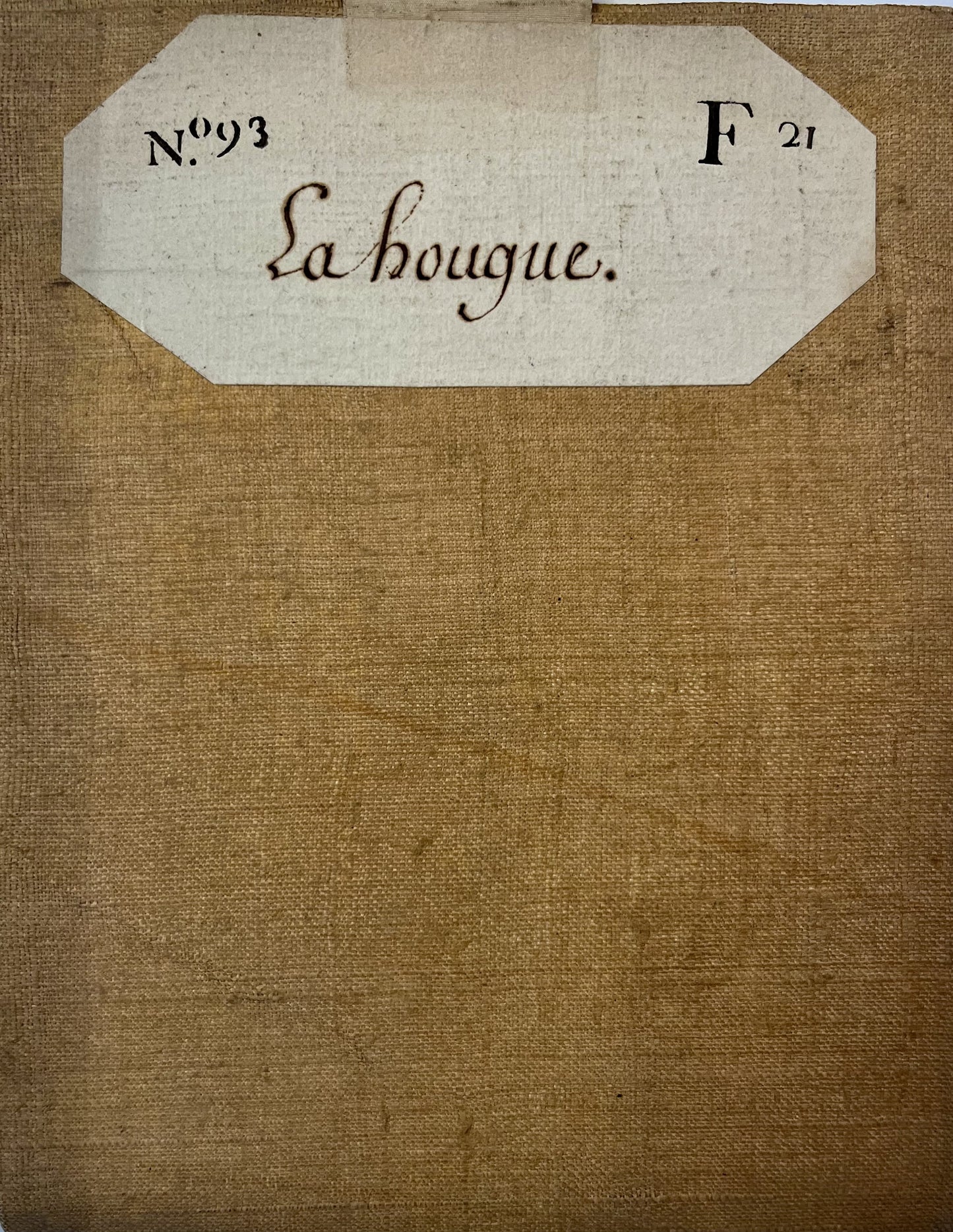
This canvas-backed Cassini map entitled "La Hougue" (No. 93) represents the North-East of Cotentin. It was produced by the Cassini family and published in 1758. Its colors are magnificent. Its unfolded dimension is 58x45cm (9 sections).
Condition:
Very good condition. Please note, my maps are old and are not always in perfect condition!
List of cities represented:
Islands of Saint-Marcouf, Montebourg, Quettehou, Saint-Vaast-la-Hougue, Barfleur, Saint-Pierre-Église, Cosqueville, Montfarville,...
-

Secure payment
-

Careful shipping
-

No reproduction
-

Satisfied or refunded


-

“Hello, thank you for sending this, the cards are superb!”
Jean-Philippe
-
"They are very beautiful, just need to frame them! Thank you"
Baptiste
-
"Fast shipping and very good tracking."
Alice
-
"My husband loved the maps I gave him for Christmas!"
Solène
