-
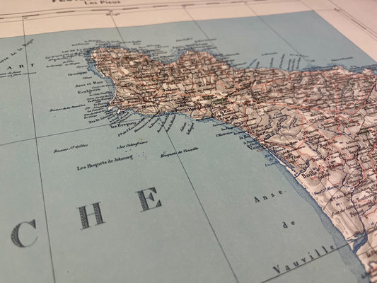
Antique map of les Pieux and its surroundings by the Dépôt de la Guerre - 1843
Regular price 80,00 €Regular priceUnit price per -
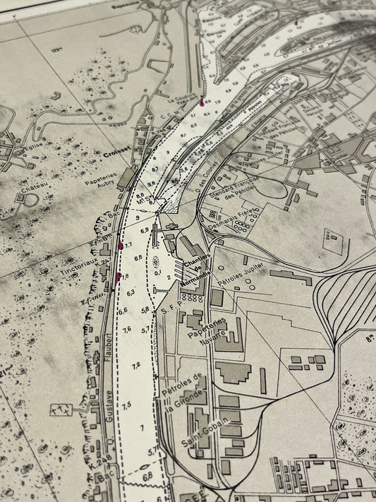
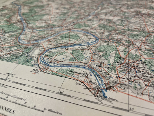
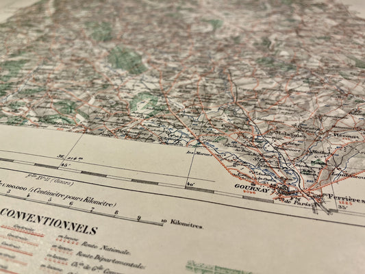
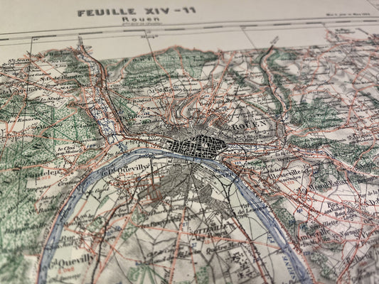
Antique nautical chart of the port of Rouen
Regular price 80,00 €Regular priceUnit price per -
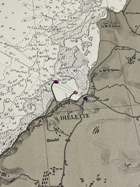
Antique nautical chart of the area around Diélette
Regular price 80,00 €Regular priceUnit price per -
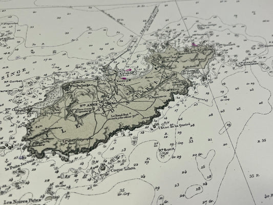
Antique nautical chart from Diélette to Omonville and the Island of Alderney
Regular price 80,00 €Regular priceUnit price per -
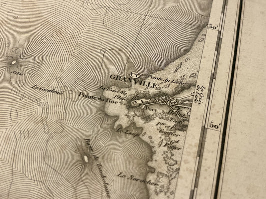
Antique map of Granville and its surroundings by the Dépôt de la Guerre - 1841
Regular price 75,00 €Regular priceUnit price per -
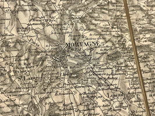
Antique map of Mortagne-au-Perche and its surroundings by the Dépôt de la Guerre - 1844
Regular price 65,00 €Regular priceUnit price per -
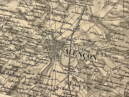
Antique map of Alençon and its surroundings by the Dépôt de la Guerre - 1845
Regular price 65,00 €Regular priceUnit price per -
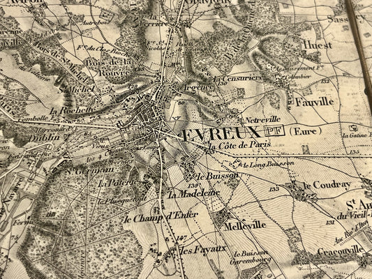
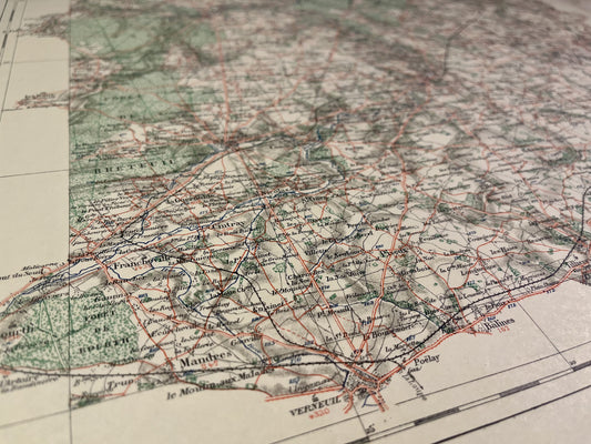
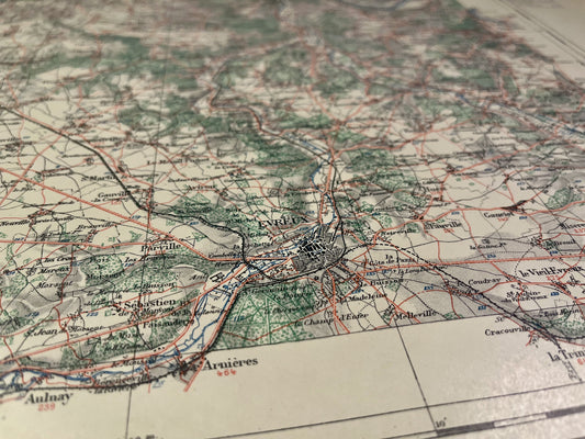
Antique map of Evreux and its surroundings by the Dépôt de la Guerre - 1839
Regular price 65,00 €Regular priceUnit price per -
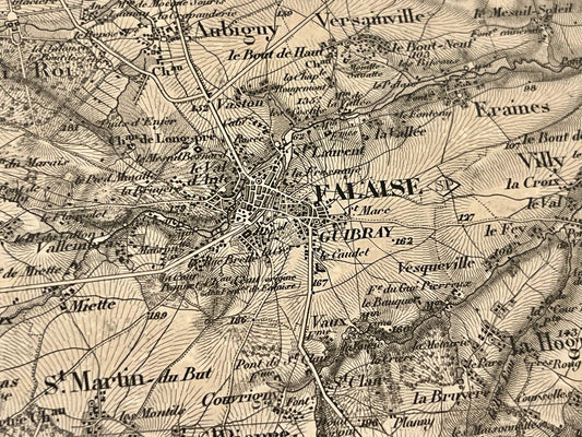
Antique map of Falaise and its surroundings by the Dépôt de la Guerre - 1843
Regular price 65,00 €Regular priceUnit price per -
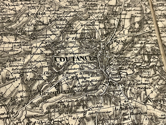
Antique map of Coutances and its surroundings by the Dépôt de la Guerre - 1846
Regular price 65,00 €Regular priceUnit price per -
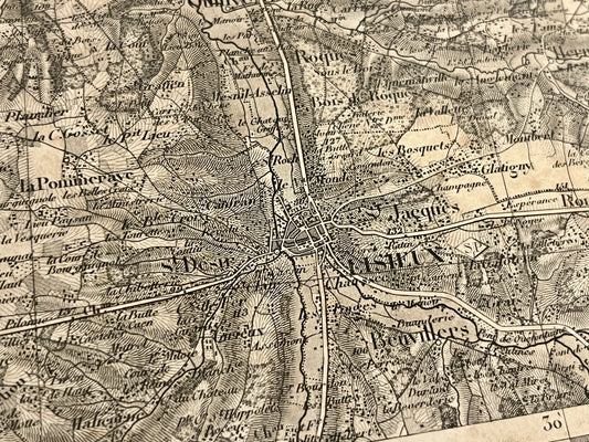
Antique map of Lisieux and its surroundings by the Dépôt de la Guerre - 1844
Regular price 65,00 €Regular priceUnit price per -
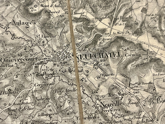
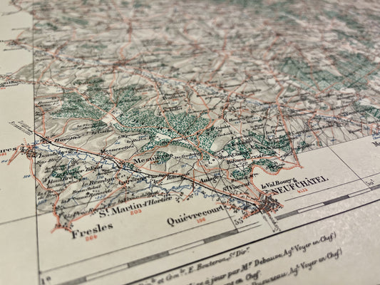
Antique map of Neufchâtel and its surroundings by the Dépôt de la Guerre - 1838
Regular price 65,00 €Regular priceUnit price per -
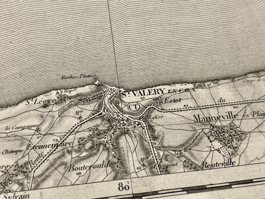
Antique map of Saint-valéry-en-Caux and its surroundings by the Dépôt de la Guerre - 1833
Regular price 65,00 €Regular priceUnit price per -
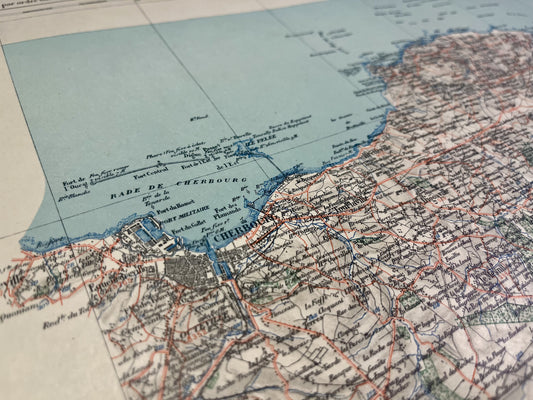
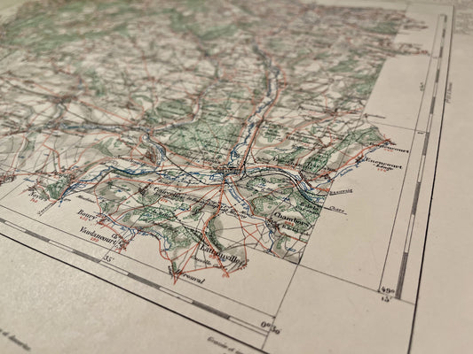
Cherbourg Vicinal Service Map
Regular price 64,00 €Regular priceUnit price per -
Map of the Vicinal Service of the Pieux
Regular price 64,00 €Regular priceUnit price per -
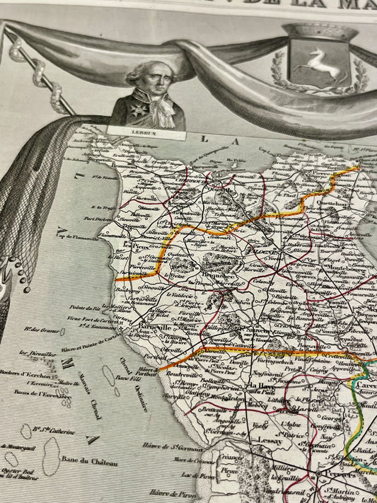
Antique map of the Manche by V. Levasseur
Regular price 54,00 €Regular priceUnit price per -
Map of the Vicinal Service of Andelys
Regular price 52,00 €Regular priceUnit price per -
Gisors Local Service Map
Regular price 52,00 €Regular priceUnit price per -
Map of the Neufchâtel-en-Bray Vicinal Service
Regular price 52,00 €Regular priceUnit price per -
Aumale Vicinal Service Map
Regular price 52,00 €Regular priceUnit price per -
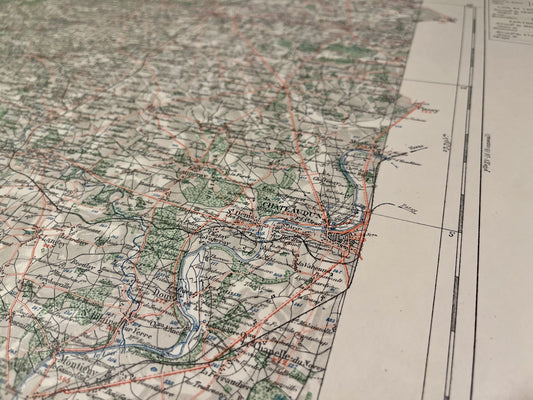
Map of the Vicinal Service of Châteaudun
Regular price 52,00 €Regular priceUnit price per -
Conches Vicinal Service Map
Regular price 52,00 €Regular priceUnit price per -
Evreux Vicinal Service Map
Regular price 52,00 €Regular priceUnit price per -
Rouen Vicinal Service Map
Regular price 52,00 €Regular priceUnit price per