-
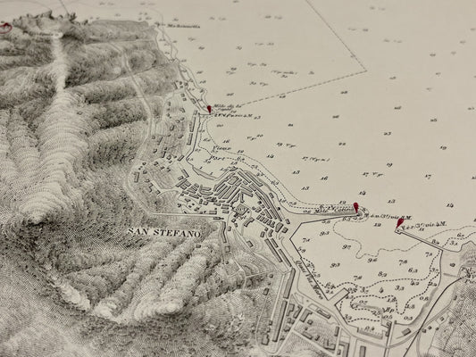
Antique nautical chart of the harbor of San Stefano
Regular price 75,00 €Regular priceUnit price per -
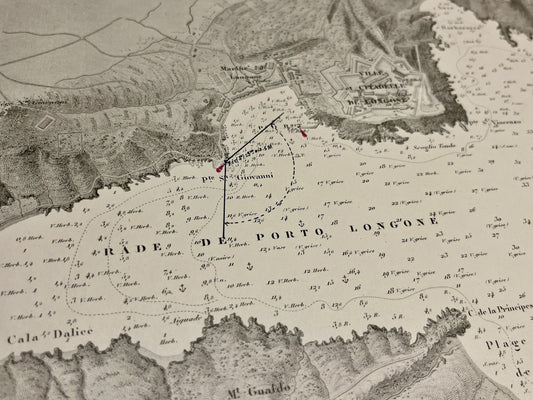
Antique nautical chart of Porto Azzurro - Elba Island
Regular price 75,00 €Regular priceUnit price per -
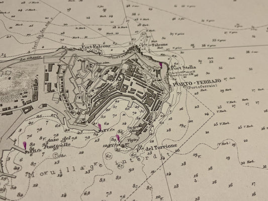
Antique nautical chart of Portoferraio - Elba Island
Regular price 75,00 €Regular priceUnit price per -
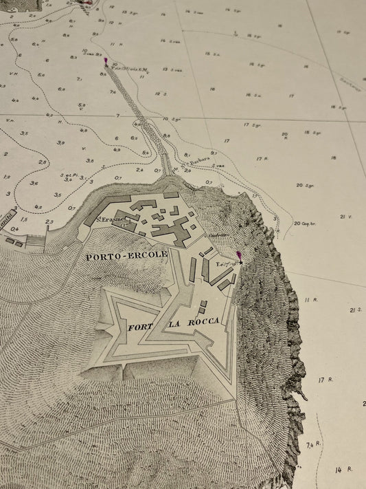
Antique nautical chart of Porto Ercole
Regular price 75,00 €Regular priceUnit price per -
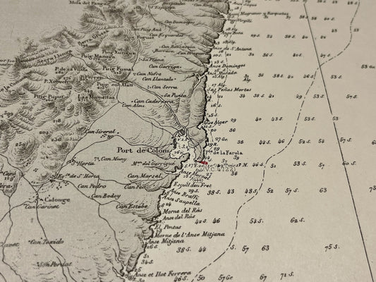
Antique nautical chart from Cape n'Amer to Cape Blanc - Majorca
Regular price 75,00 €Regular priceUnit price per -
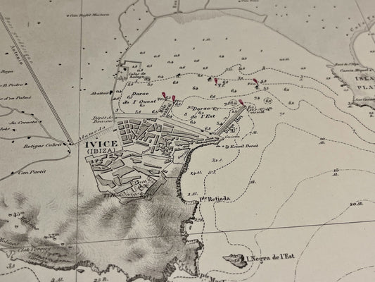
Antique nautical chart of the harbors of Ibiza and Fornells - Balearic Islands
Regular price 75,00 €Regular priceUnit price per -
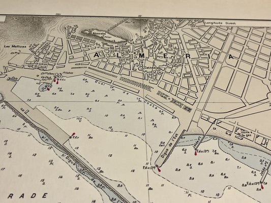
Antique nautical chart of the harbor of Almeria
Regular price 75,00 €Regular priceUnit price per -
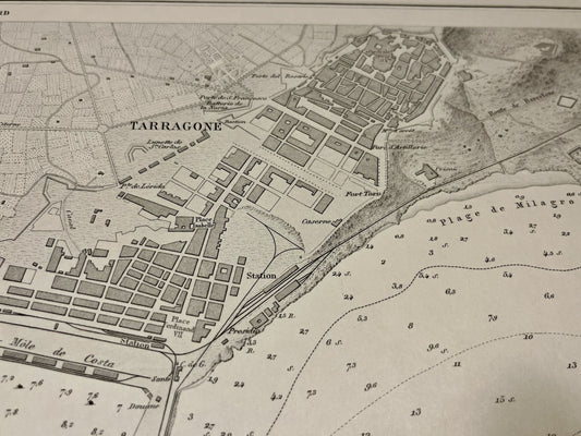
Antique nautical chart of the harbor of Tarragona
Regular price 75,00 €Regular priceUnit price per -
Old nautical chart from Cape Feno to Cape Rosso
Regular price 80,00 €Regular priceUnit price per -
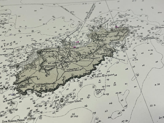
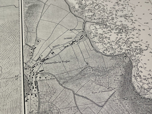
Antique nautical chart from Diélette to Omonville and the Island of Alderney
Regular price 80,00 €Regular priceUnit price per -
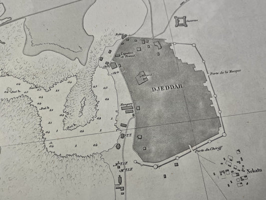
Plan ancien du mouillage intérieur de Djeddah en Mer Rouge
Regular price 80,00 €Regular priceUnit price per -
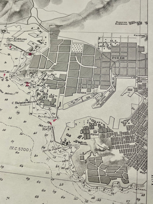
Carte marine ancienne du Détroit de Salamine
Regular price 80,00 €Regular priceUnit price per -
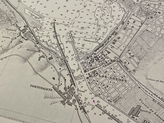
Antique nautical chart of the port of Bilbao
Regular price 80,00 €Regular priceUnit price per -
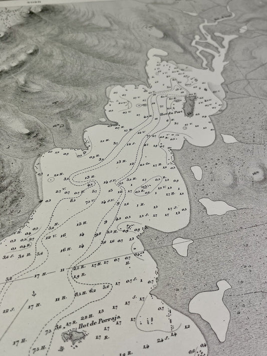
Antique nautical chart of the Bay of Figari
Regular price 80,00 €Regular priceUnit price per -
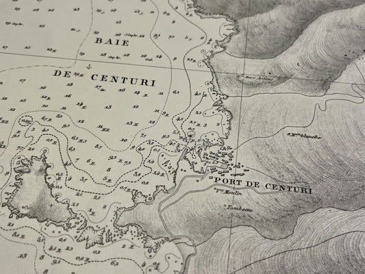
Antique nautical chart of the bays of Centuri, Macinaggio and Tamarone
Regular price 80,00 €Regular priceUnit price per -
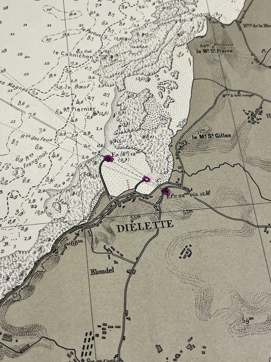
Antique nautical chart of the area around Diélette
Regular price 80,00 €Regular priceUnit price per -
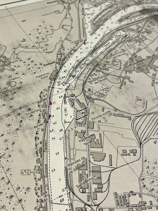
Antique nautical chart of the port of Rouen
Regular price 80,00 €Regular priceUnit price per -
Antique nautical chart of the area around Goury and Omonville
Regular price 80,00 €Regular priceUnit price per -
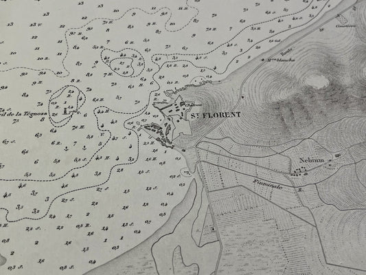
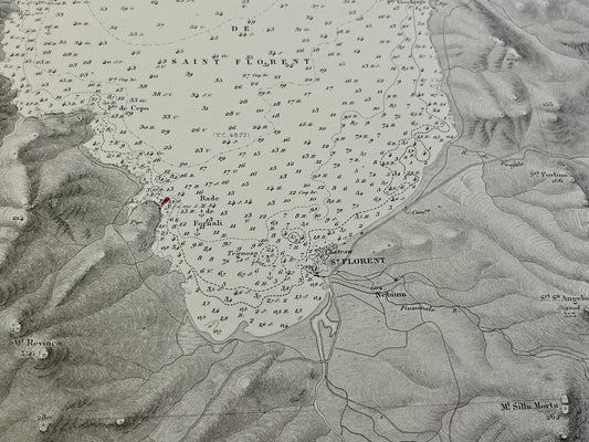
Antique nautical chart of the Gulf of Saint-Florent
Regular price 80,00 €Regular priceUnit price per -
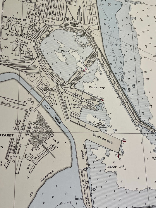
Antique nautical chart of the port of Valence
Regular price 80,00 €Regular priceUnit price per -
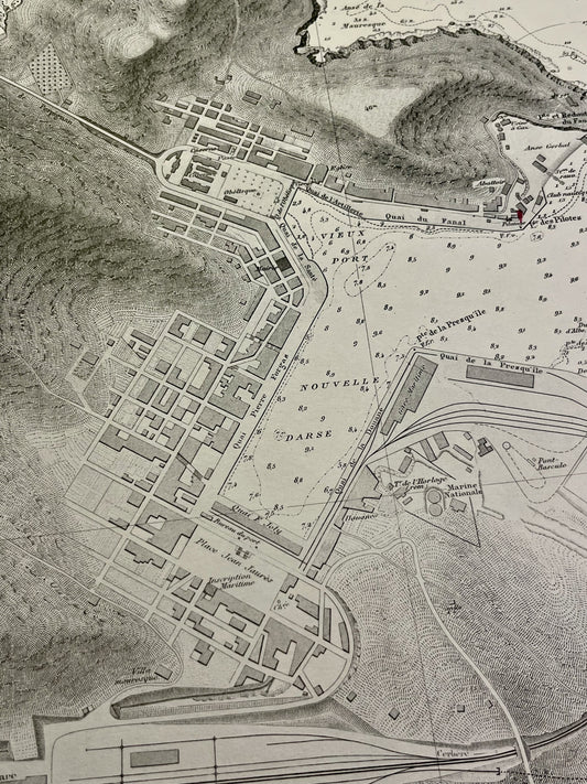
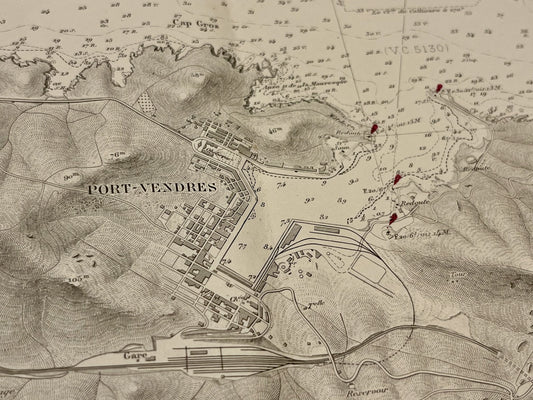
Antique nautical chart of Port-Vendres
Regular price 80,00 €Regular priceUnit price per -
Antique nautical chart of the southern part of the Cap Corse peninsula
Regular price 80,00 €Regular priceUnit price per -
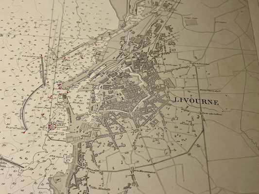
Antique nautical chart of the Livorno harbor
Regular price 80,00 €Regular priceUnit price per -
Antique nautical chart of the area around Port-Vendres
Regular price 80,00 €Regular priceUnit price per

