


Antique nautical chart of the area around Port-Vendres
Antique nautical chart of the area around Port-Vendres
Regular price
80,00 €
Regular price
Sale price
80,00 €
Unit price
per
Taxes included.
Couldn't load pickup availability
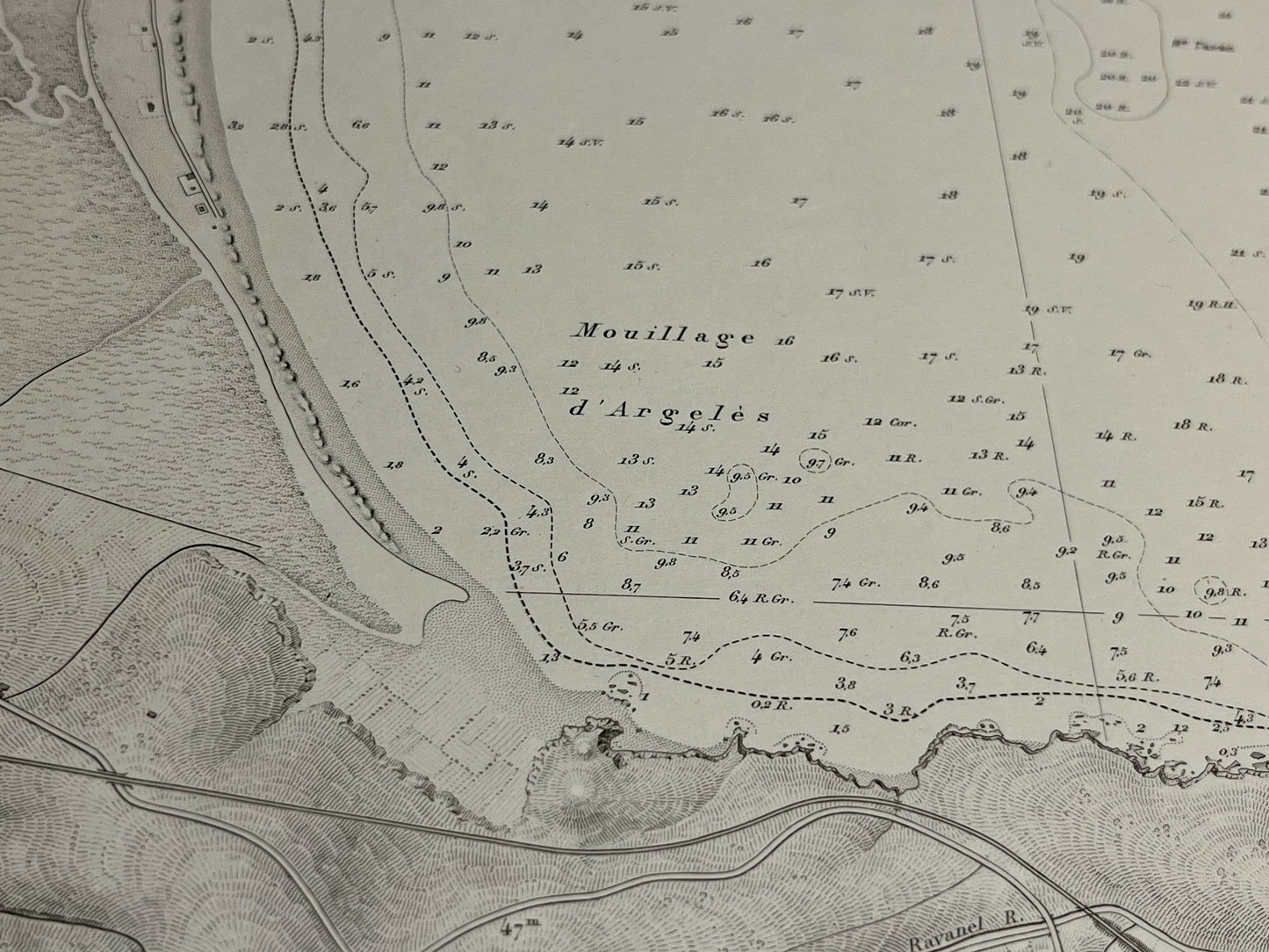
This antique nautical chart depicting the area around Port-Vendres was produced by the Service Hydrographique de la Marine. It dates from the mid-20th century and its dimensions are 105x74cm.
Condition:
Central crease, minimal stains. Please note, my maps are old and not always in perfect condition!


-

Secure payment
-

Careful shipping
-

No reproduction
-

Satisfied or refunded


-

“Hello, thank you for sending this, the cards are superb!”
Jean-Philippe
-
"They are very beautiful, just need to frame them! Thank you"
Baptiste
-
"Fast shipping and very good tracking."
Alice
-
"My husband loved the maps I gave him for Christmas!"
Solène
