


Pictorial poster of Swiss aviation "So lernten wir fliegen" - 1941
Pictorial poster of Swiss aviation "So lernten wir fliegen" - 1941
Couldn't load pickup availability
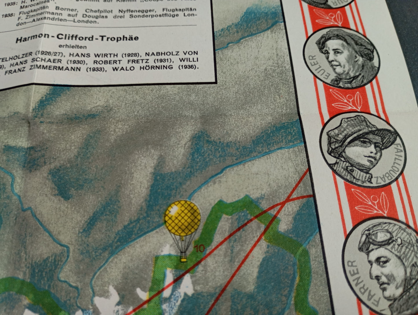
This illustrated map, entitled "So lernten wir fliegen" (How we learned to fly), is an educational and historical work on aviation in Switzerland. It traces the major stages in the development of aviation, focusing on pioneers and aerial exploits. The body of the map features a topographical representation of Switzerland, with its mountains and lakes, on which are plotted flight routes, aeronautical figures, and illustrations of various aircraft of the time, ranging from hot air balloons to airplanes. The borders of the poster are decorated with portraits of important figures in the history of aviation. The map is both an informative and decorative piece, highlighting the evolution of aviation technology and the history of Swiss aviation. The map measures 80 cm by 72 cm.
Condition :
Good condition Please note, my maps are old and are not always in perfect condition!
List of main places represented:
Switzerland, Swiss Alps, Lake Lucerne, Lake Constance, Lake Geneva.


-

Secure payment
-

Careful shipping
-

No reproduction
-

Satisfied or refunded


-

“Hello, thank you for sending this, the cards are superb!”
Jean-Philippe
-
"They are very beautiful, just need to frame them! Thank you"
Baptiste
-
"Fast shipping and very good tracking."
Alice
-
"My husband loved the maps I gave him for Christmas!"
Solène
