


Vintage poster of French Equatorial Africa drawn by Léo Craste (linen map) - 1950s
Vintage poster of French Equatorial Africa drawn by Léo Craste (linen map) - 1950s
Couldn't load pickup availability
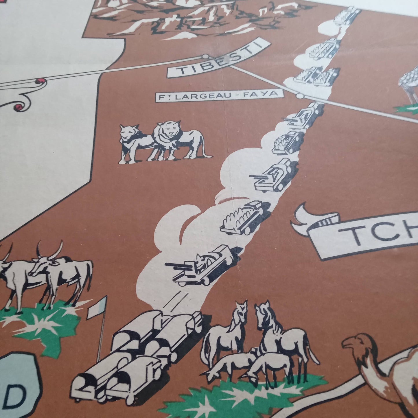
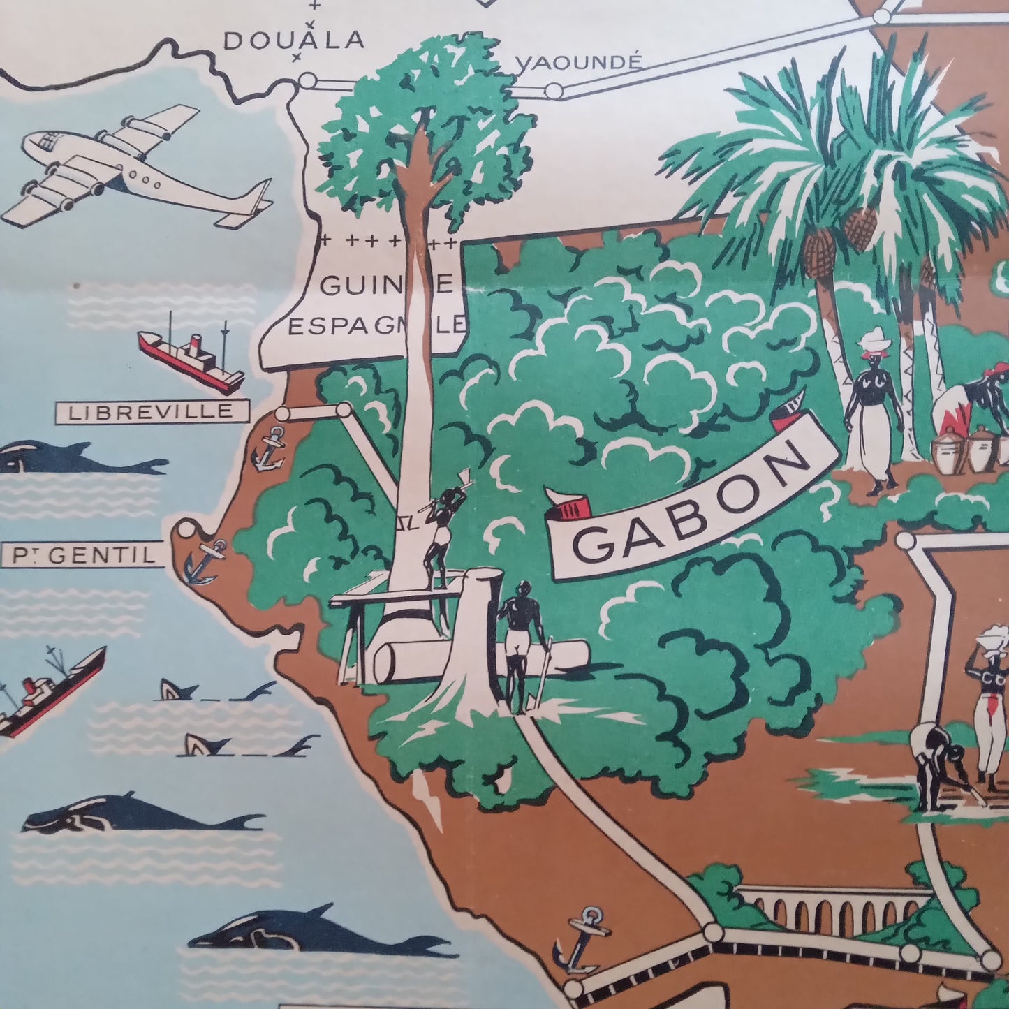
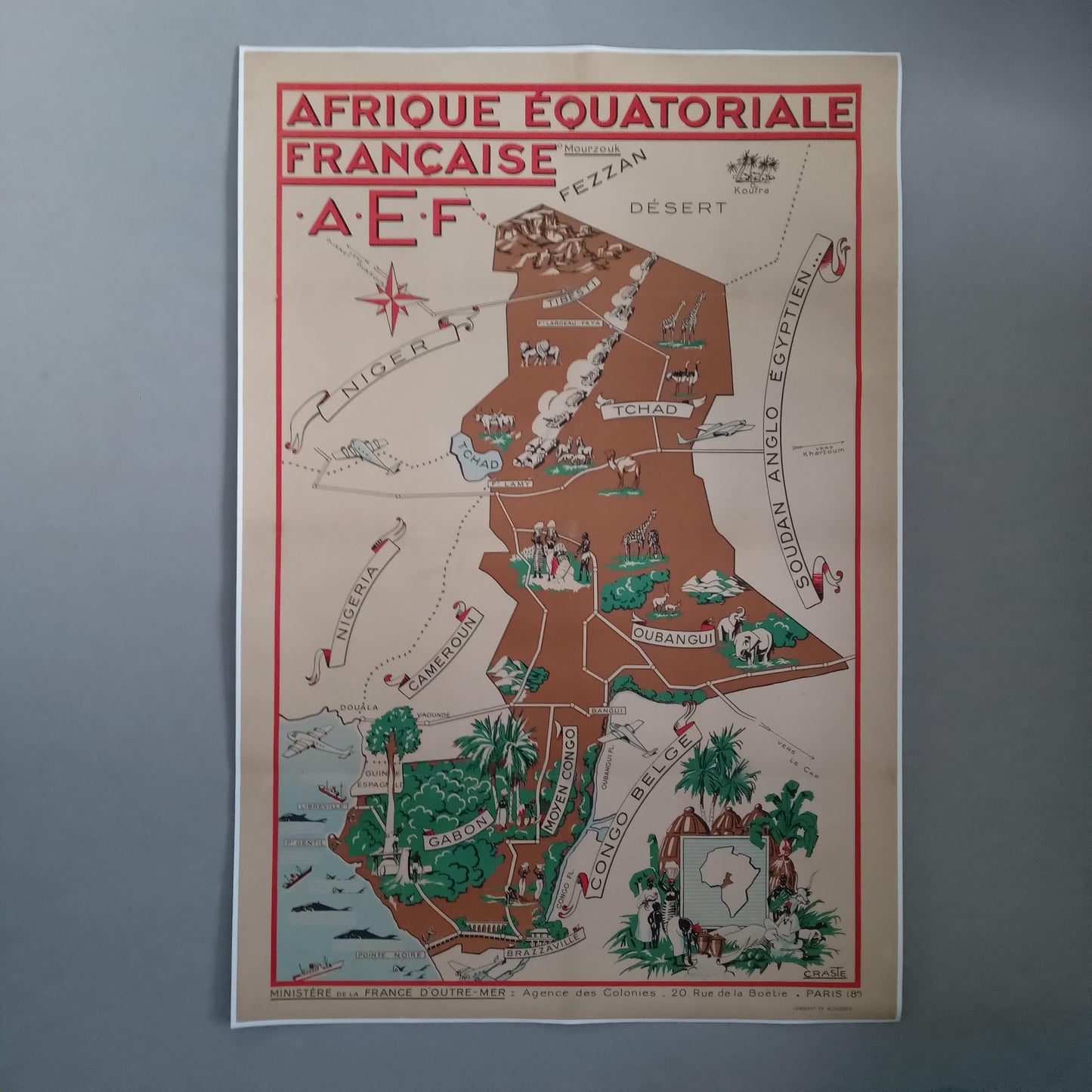
This canvas poster of French Equatorial Africa (FEA), created by Léo Craste in the 1950s, offers a colorful and detailed representation of this region of Central Africa. The map highlights the main French colonies of the time, including Chad, Gabon, Middle Congo, and Ubangi-Shari. The illustrations show the region's diverse landscapes, wildlife, and economic activities, such as logging and agriculture. The map's vivid colors and precise details make it a valuable tool for education and decoration. Léo Craste, known for his illustrations and maps, captured the essence of French Equatorial Africa with great precision and a unique artistic style. Size: 120 x 79 cm
Condition :
Very good condition. Canvas-backed poster. Please note, my maps are old and not always in perfect condition! Shipped in a tube.
List of main places represented:
French Equatorial Africa (AEF), Chad, Oubangui-Chari, Middle Congo, Gabon, Cameroon, Nigeria, Niger, Anglo-Egyptian Sudan, Fezzan, Desert, Belgian Congo, Africa, Central Africa, West Africa, North Africa.


-

Secure payment
-

Careful shipping
-

No reproduction
-

Satisfied or refunded


-

“Hello, thank you for sending this, the cards are superb!”
Jean-Philippe
-
"They are very beautiful, just need to frame them! Thank you"
Baptiste
-
"Fast shipping and very good tracking."
Alice
-
"My husband loved the maps I gave him for Christmas!"
Solène
