


Road and tourist map of India
Road and tourist map of India
Couldn't load pickup availability
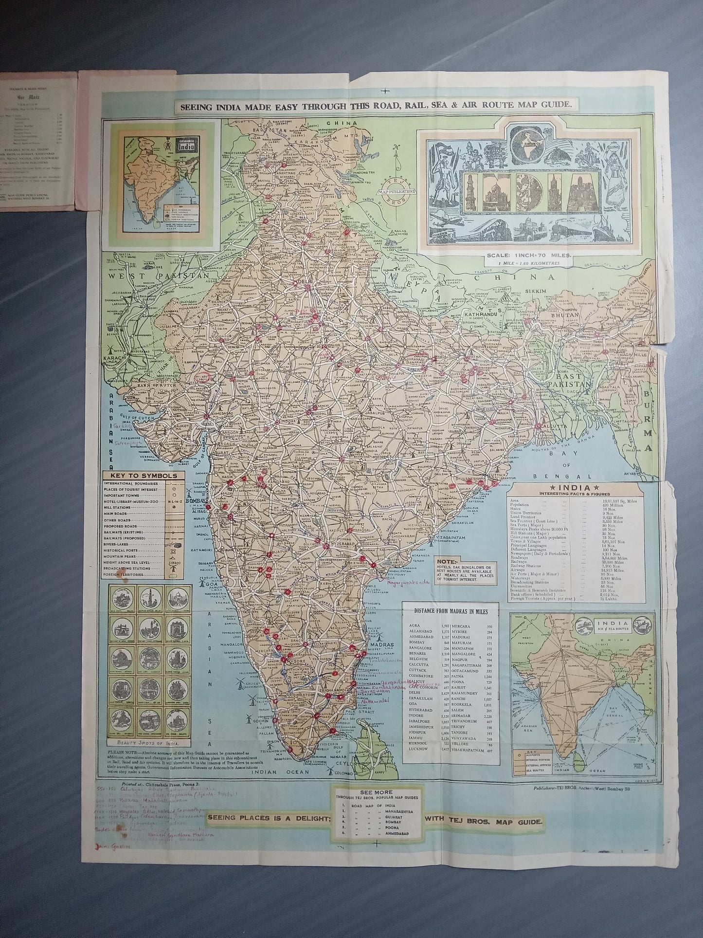
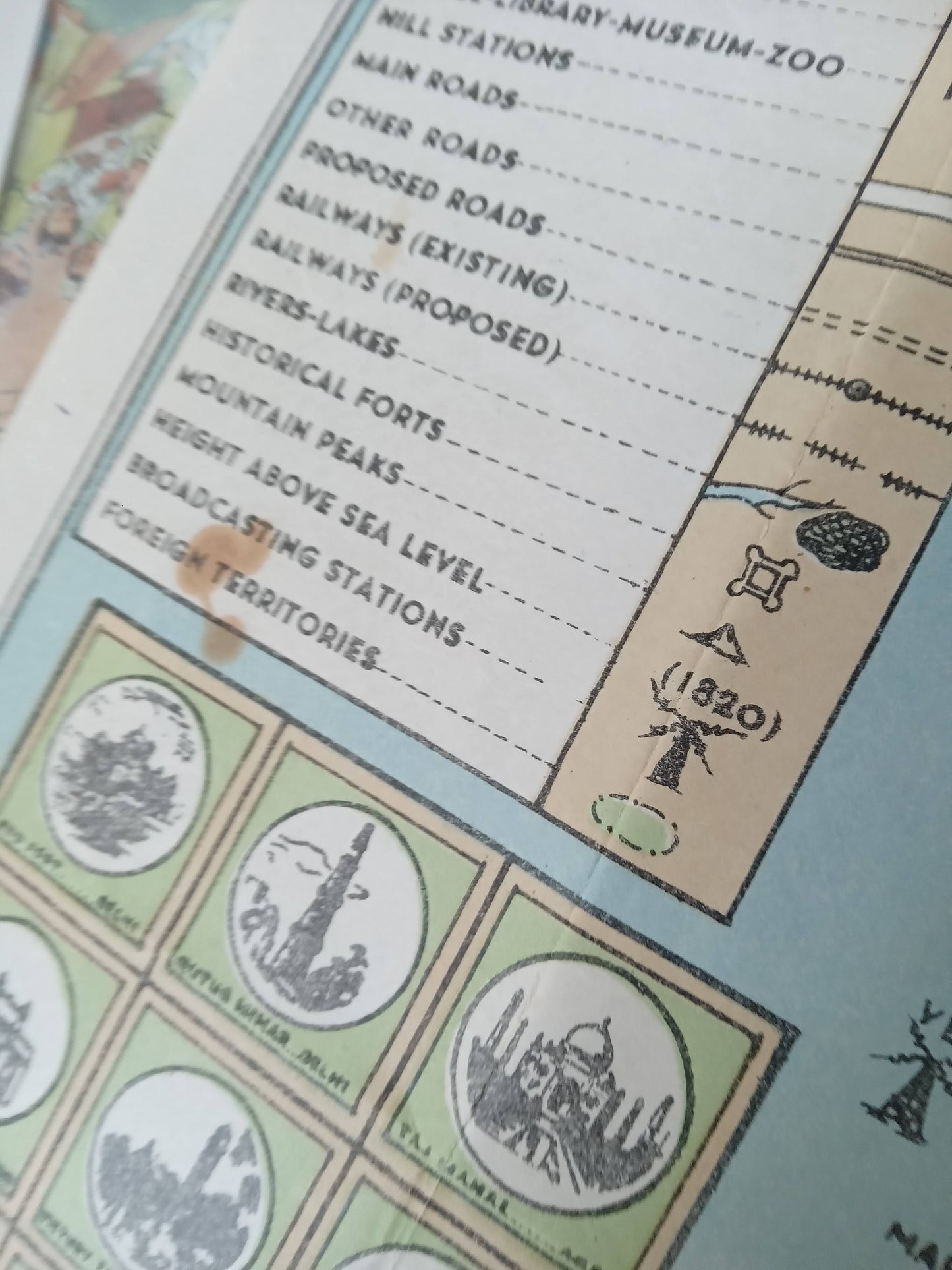
This road and tourist map of India, published in the 1960s, presents the network of roads, railways, sea and air links across the subcontinent. Measuring 64 x 84 cm, it was designed as a true visual travel guide, facilitating the discovery of the country for tourists and travelers of the time. Graphically rich, it includes a detailed legend, distance markers, illustrated boxes and regional inset maps. The dense layout of infrastructure, complemented by cultural or natural pictograms, demonstrates a desire to promote the diversity of the Indian territory through a tool that is both practical and attractive. Designed for individual or family use, this map is part of an era of modernization of tourism in India, where travel also becomes a planned adventure. Dimension 64 x 84 cm
Condition :
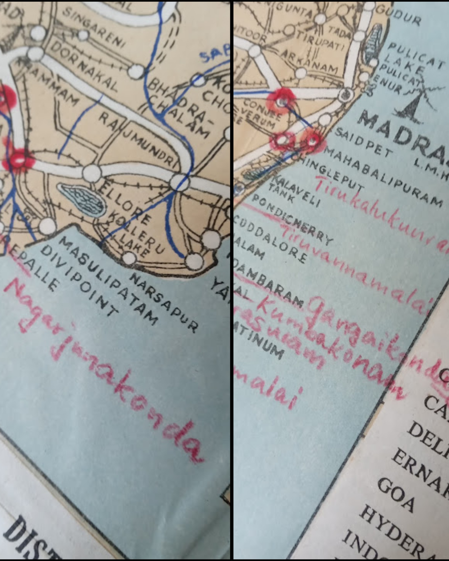
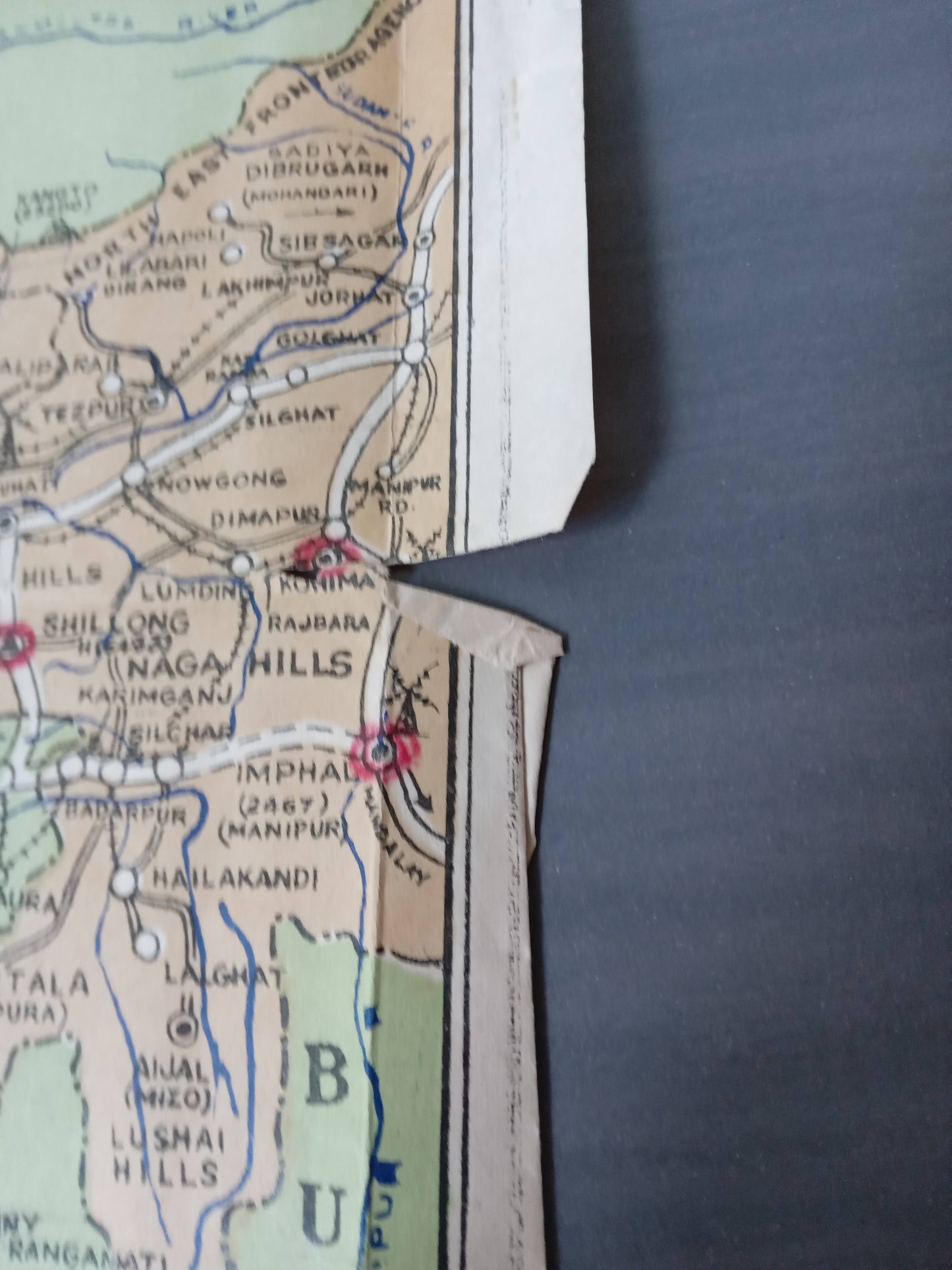
Average condition, see photos. Please note, my maps are old and not always in perfect condition!
List of main places represented:
New Delhi, Calcutta, Bombay (Mumbai), Madras (Chennai), Bangalore, Hyderabad, Ahmedabad, Kanpur, Lucknow, Jaipur, Nagpur, Patna, Indore, Bhopal, Agra, Varanasi, Allahabad (Prayagraj), Amritsar, Srinagar, India, Asia.


-

Secure payment
-

Careful shipping
-

No reproduction
-

Satisfied or refunded


-

“Hello, thank you for sending this, the cards are superb!”
Jean-Philippe
-
"They are very beautiful, just need to frame them! Thank you"
Baptiste
-
"Fast shipping and very good tracking."
Alice
-
"My husband loved the maps I gave him for Christmas!"
Solène
