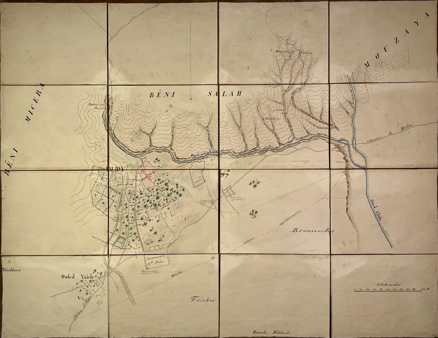
Accurate and colorful antique map of Blida
Accurate and colorful antique map of Blida
Regular price
290,00 €
Regular price
Sale price
290,00 €
Unit price
per
Taxes included.
Couldn't load pickup availability
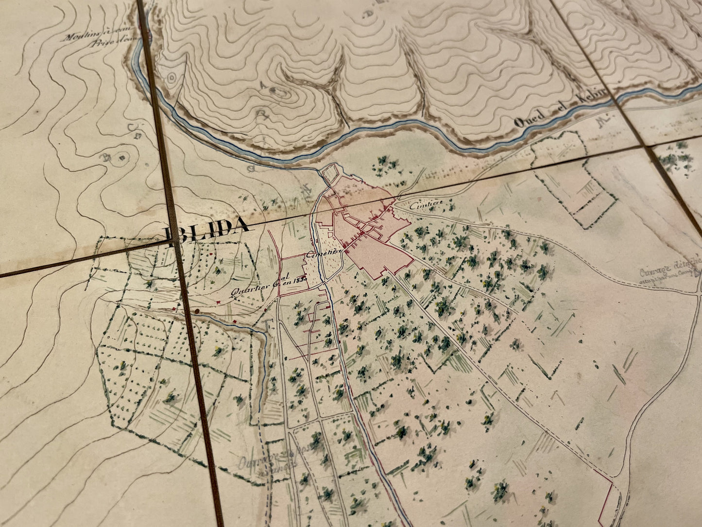
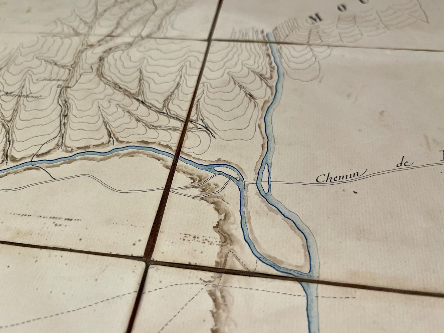
This old canvas map of Blida, Algeria, by an unknown author, is unique in its kind. By the beauty of its hand-drawn colors, but also by its precision. It shows, in particular, the enclosure of the new Blida, the General Headquarters in 1830, the cemeteries as well as the fountains, huts and marabouts. It probably dates from the beginning of the 19th century and its dimension is 66.5x51cm.
Condition:
Worn canvas, even torn in some places, stains. Please note, my maps are old and are not always in perfect condition!


