


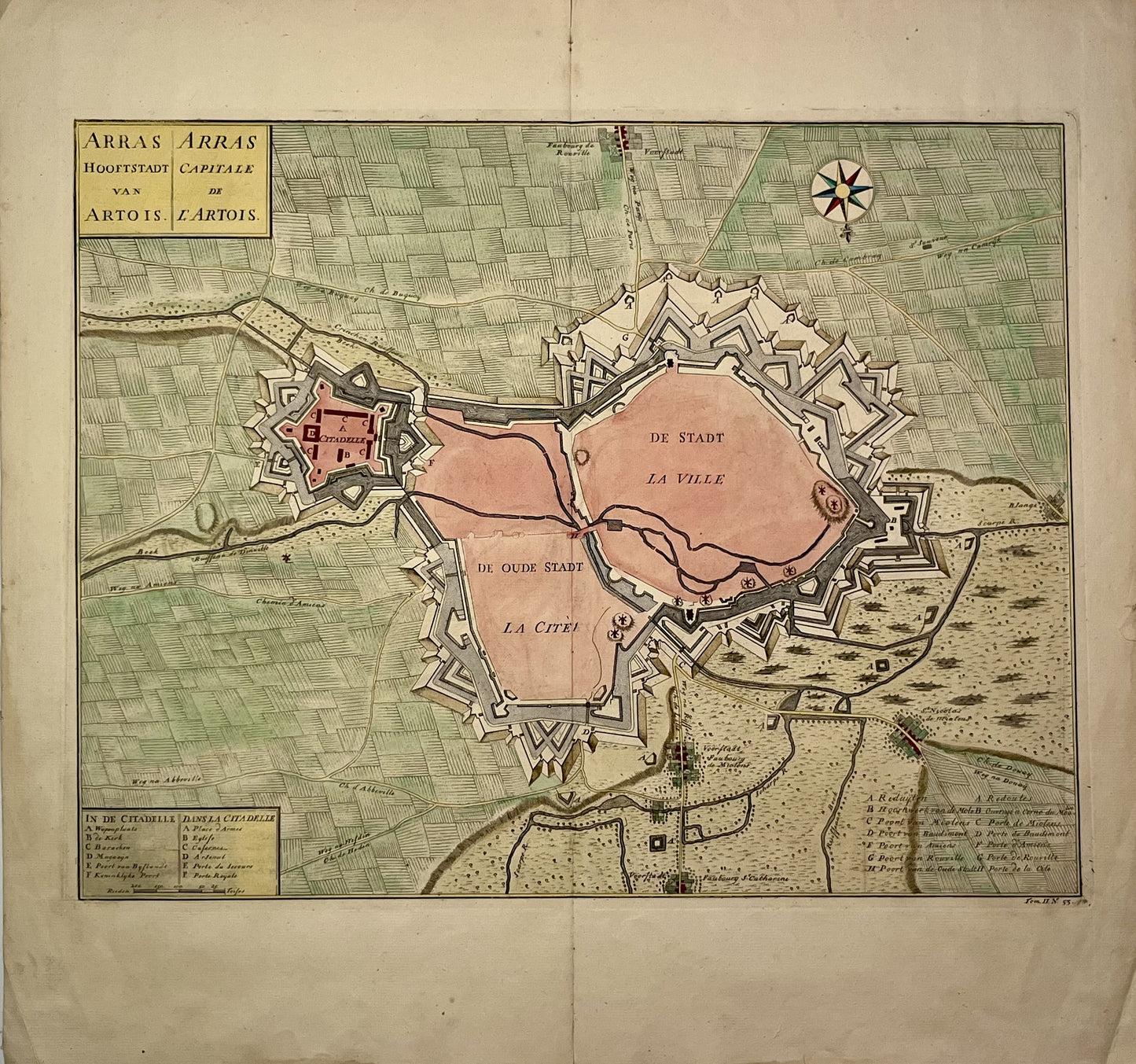
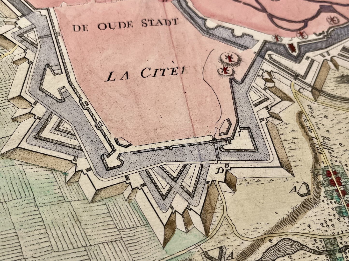
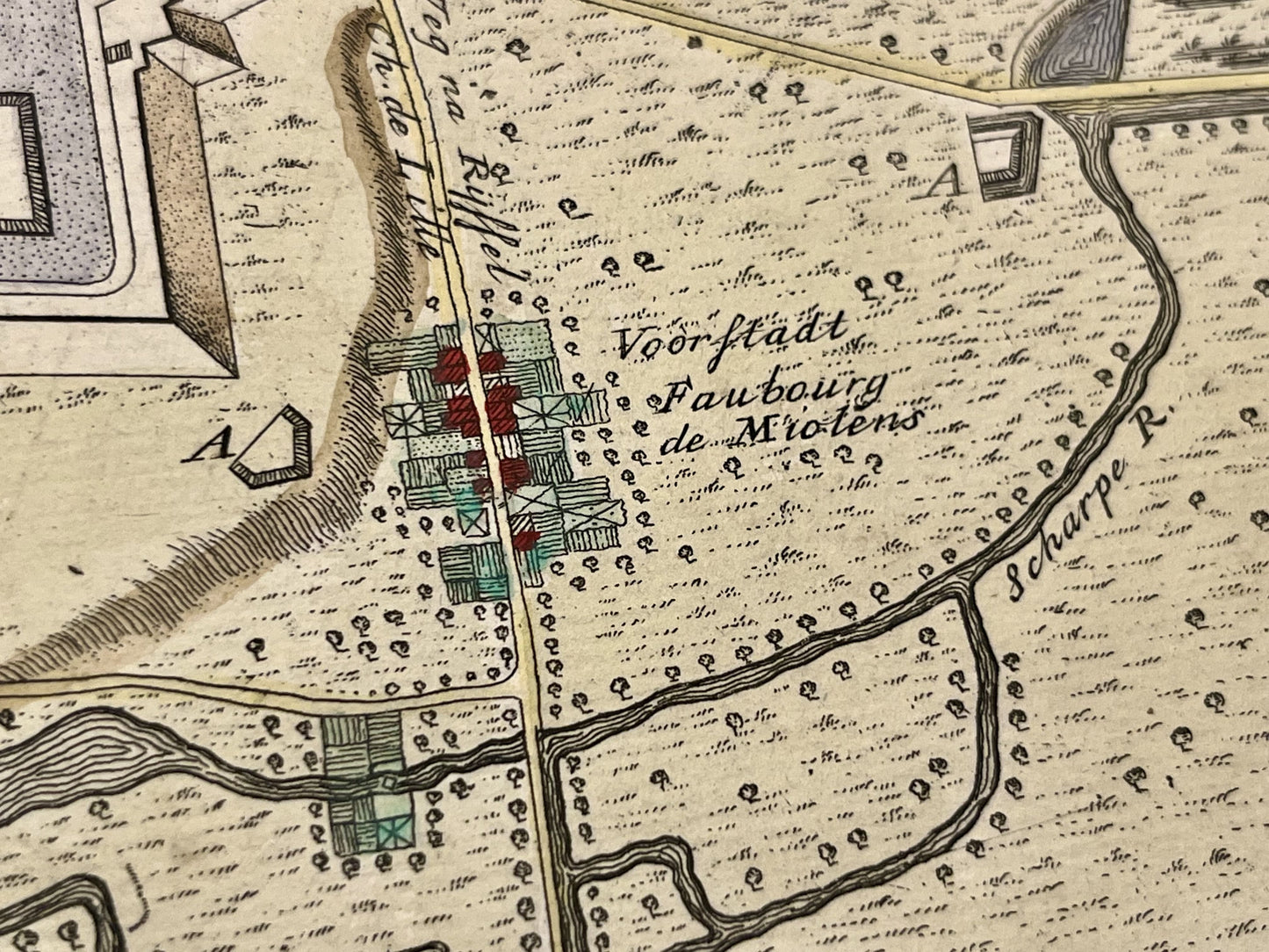
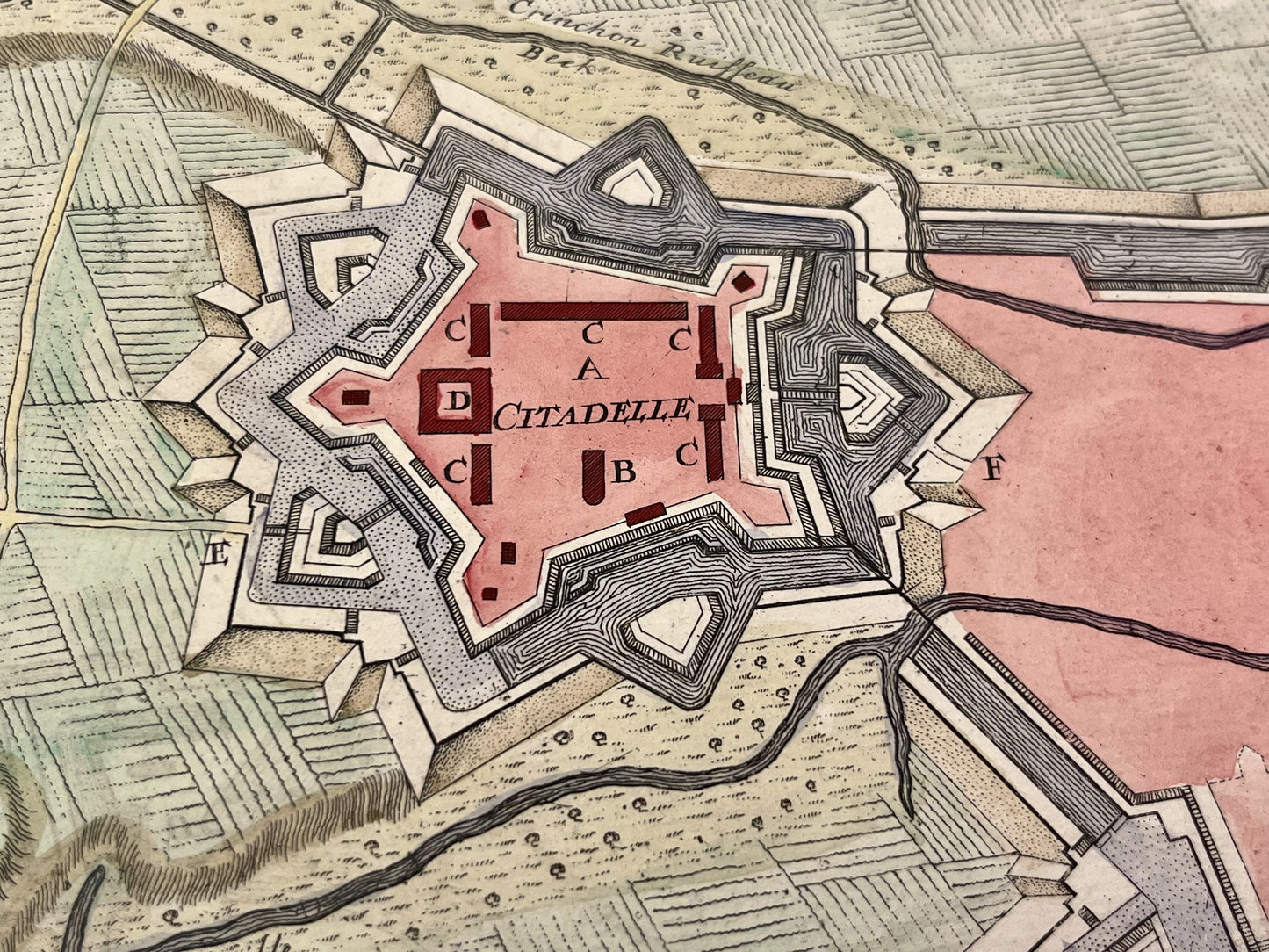
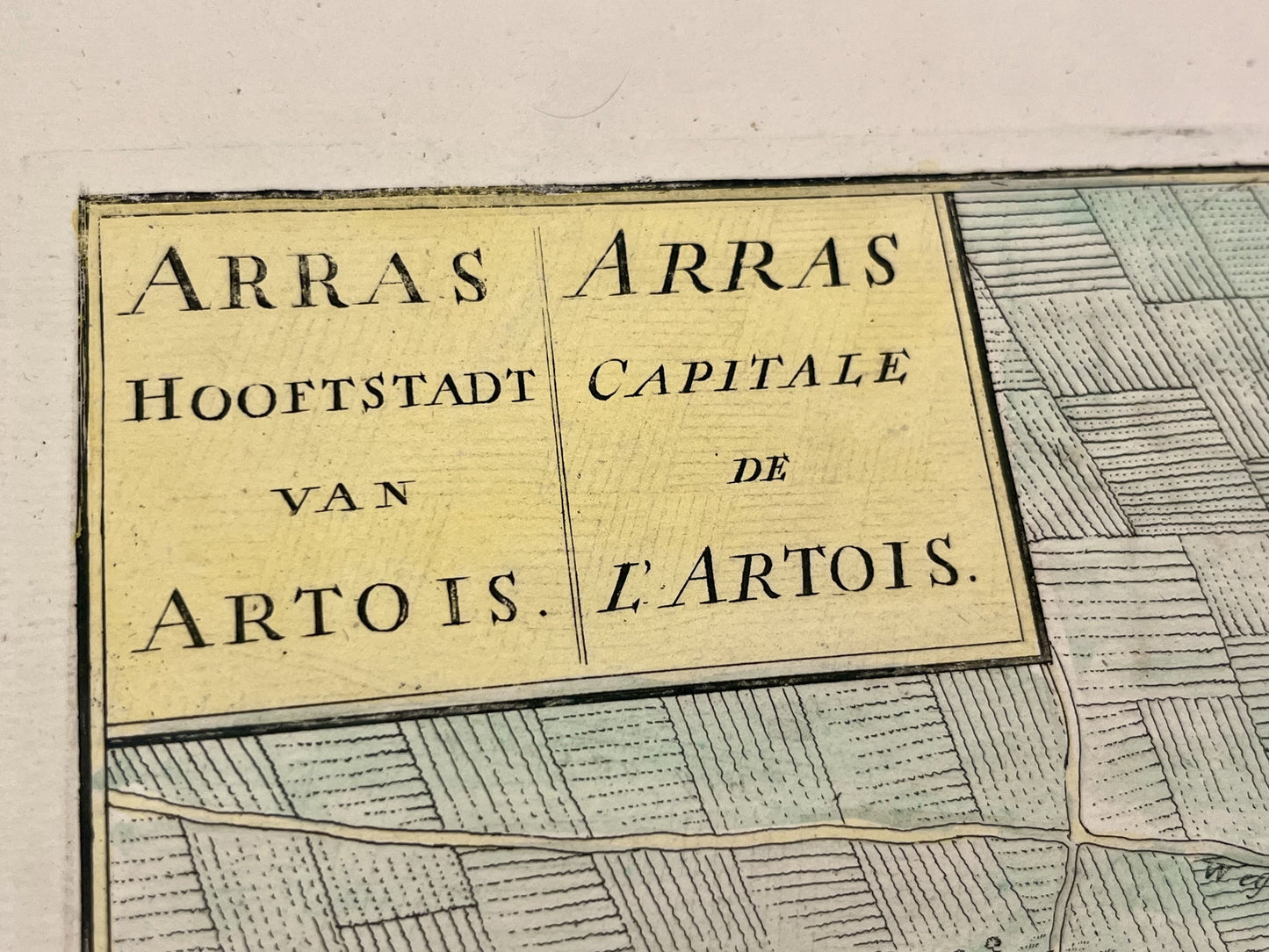
Antique map of Arras - ca. 1730
Antique map of Arras - ca. 1730
Regular price
220,00 €
Regular price
Sale price
220,00 €
Unit price
per
Taxes included.
Couldn't load pickup availability
This antique map of Arras, Pas-de-Calais , was published at the beginning of the 18th century and its dimensions are 55x52,5cm. Its colors are original and very well preserved.
Condition:
Central fold, small tear on the upper part of it. Please note, my maps are old and are not always in perfect condition!
-

Secure payment
-

Careful shipping
-

No reproduction
-

Satisfied or refunded


-

“Hello, thank you for sending this, the cards are superb!”
Jean-Philippe
-
"They are very beautiful, just need to frame them! Thank you"
Baptiste
-
"Fast shipping and very good tracking."
Alice
-
"My husband loved the maps I gave him for Christmas!"
Solène
