


Antique map of the Duchy of Auvergne by J. Janssonius - ca. 1640
Antique map of the Duchy of Auvergne by J. Janssonius - ca. 1640
Couldn't load pickup availability
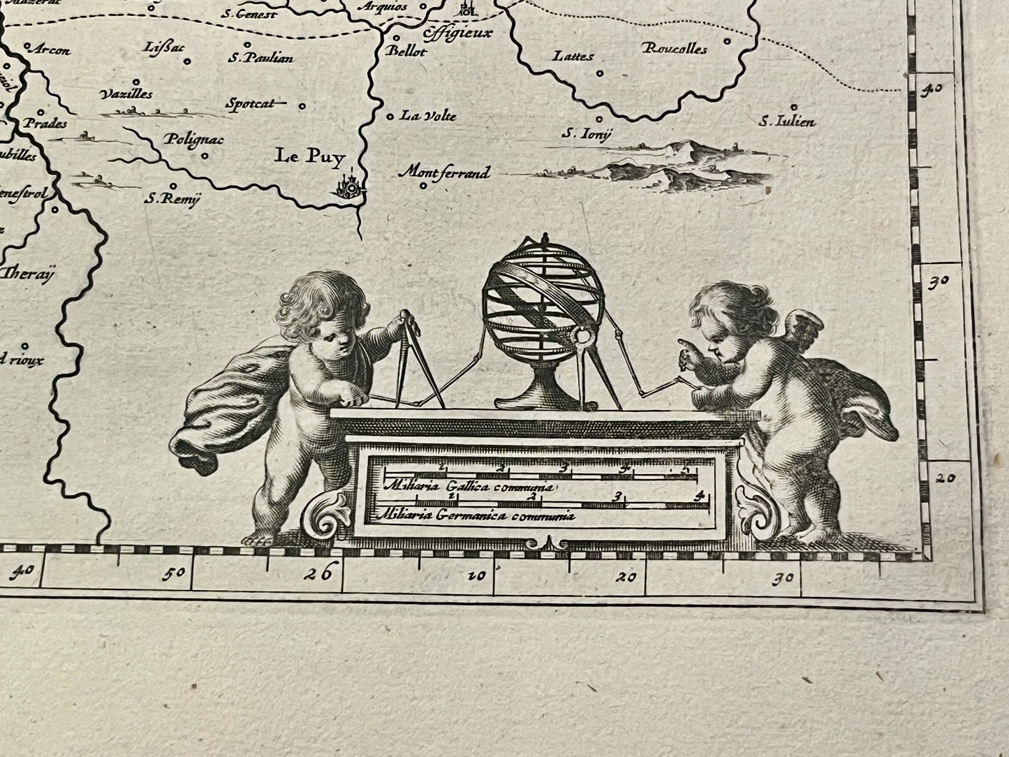
This antique map of Auvergne dates from the mid-17th century and measures 56.5x48cm. It was created by the Dutch cartographer J. Janssonius.
Condition:
Central crease, minor stains and slightly warped paper. Please note, my maps are vintage and not always in perfect condition!
Main cities represented:
Vichy, Gannat, Thiers, Issoire, Clermont-Ferrand, Charroux, Roanne, Montbrison, Brioude, Monistrol-sur-Loire, Le Puy-en-Velay, Allègre, Aurillac, Tulle, Saint-Flour,...


-

Secure payment
-

Careful shipping
-

No reproduction
-

Satisfied or refunded


-

“Hello, thank you for sending this, the cards are superb!”
Jean-Philippe
-
"They are very beautiful, just need to frame them! Thank you"
Baptiste
-
"Fast shipping and very good tracking."
Alice
-
"My husband loved the maps I gave him for Christmas!"
Solène
