


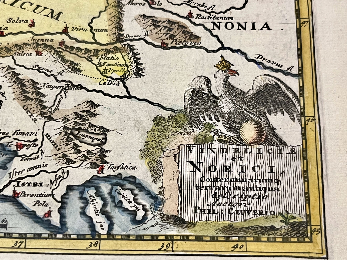
Small antique map of Bavaria and Austria by P. Cluwer - ca. 1690
Small antique map of Bavaria and Austria by P. Cluwer - ca. 1690
Regular price
60,00 €
Regular price
Sale price
60,00 €
Unit price
per
Taxes included.
Couldn't load pickup availability
This antique map of Austria and southern Germany during Antiquity was created by the German cartographer Philip Cluwer at the end of the 17th century. The map measures 30x23cm.
Condition:
Central fold, good condition. Please note, my maps are old and not always in perfect condition!


-

Secure payment
-

Careful shipping
-

No reproduction
-

Satisfied or refunded


-

“Hello, thank you for sending this, the cards are superb!”
Jean-Philippe
-
"They are very beautiful, just need to frame them! Thank you"
Baptiste
-
"Fast shipping and very good tracking."
Alice
-
"My husband loved the maps I gave him for Christmas!"
Solène
