


Antique map of Beauce by J. Blaeu - ca. 1640
Antique map of Beauce by J. Blaeu - ca. 1640
Regular price
180,00 €
Regular price
Sale price
180,00 €
Unit price
per
Taxes included.
Couldn't load pickup availability
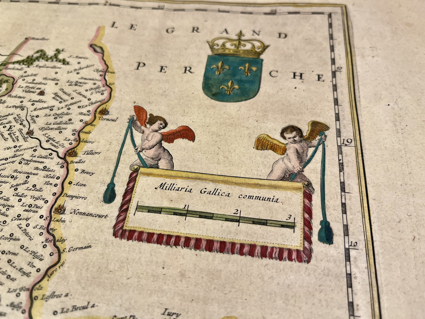
This antique map of Beauce covers the current departments of Eure-et-Loir and Loiret. It was drawn up and published by J. Blaeu around 1640. The dimensions of this map are 65x51.5cm.
Condition:
Repairs, central fold. Please note, my maps are old and are not always in perfect condition!
List of main cities represented:
Chartres, Etampes, Orleans, Houdan, Nogent-le-Roi, Blois, Dreux, Nogent-le-Rotrou


-

Secure payment
-

Careful shipping
-

No reproduction
-

Satisfied or refunded


-

“Hello, thank you for sending this, the cards are superb!”
Jean-Philippe
-
"They are very beautiful, just need to frame them! Thank you"
Baptiste
-
"Fast shipping and very good tracking."
Alice
-
"My husband loved the maps I gave him for Christmas!"
Solène
