


Antique map of Berry and Limagne of Auvergne by A. Ortelius - ca. 1580
Antique map of Berry and Limagne of Auvergne by A. Ortelius - ca. 1580
Couldn't load pickup availability
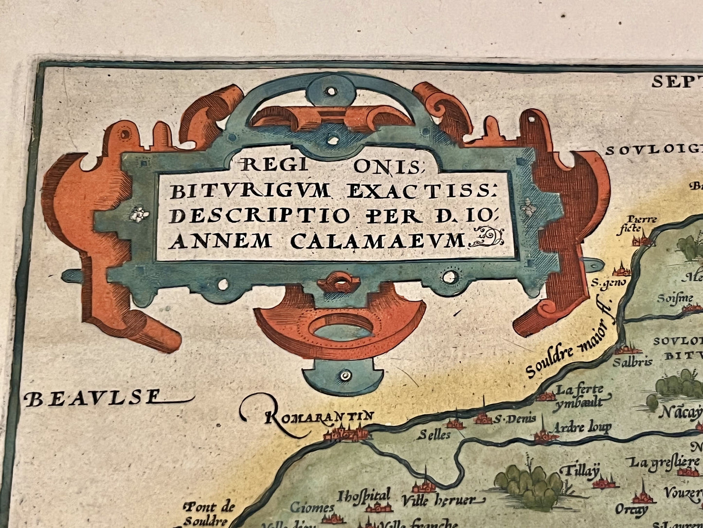
This antique map of Auvergne and the Duchy of Berry was drawn by the famous cartographer Abraham Ortelius at the end of the 16th century. Its dimensions are 54x38.5cm.
Condition:
Significant stain on the left side and tears (see photo #5). Repair on this same area. Please note, my maps are old and not always in perfect condition!
Main cities represented:
Clermont-Ferrand, Riom, Bourges, Vierzon, Argenton, Romorentin,...


-

Secure payment
-

Careful shipping
-

No reproduction
-

Satisfied or refunded


-

“Hello, thank you for sending this, the cards are superb!”
Jean-Philippe
-
"They are very beautiful, just need to frame them! Thank you"
Baptiste
-
"Fast shipping and very good tracking."
Alice
-
"My husband loved the maps I gave him for Christmas!"
Solène
