


Antique map of the Blaisois region by J. Janssonius - ca. 1650
Antique map of the Blaisois region by J. Janssonius - ca. 1650
Couldn't load pickup availability
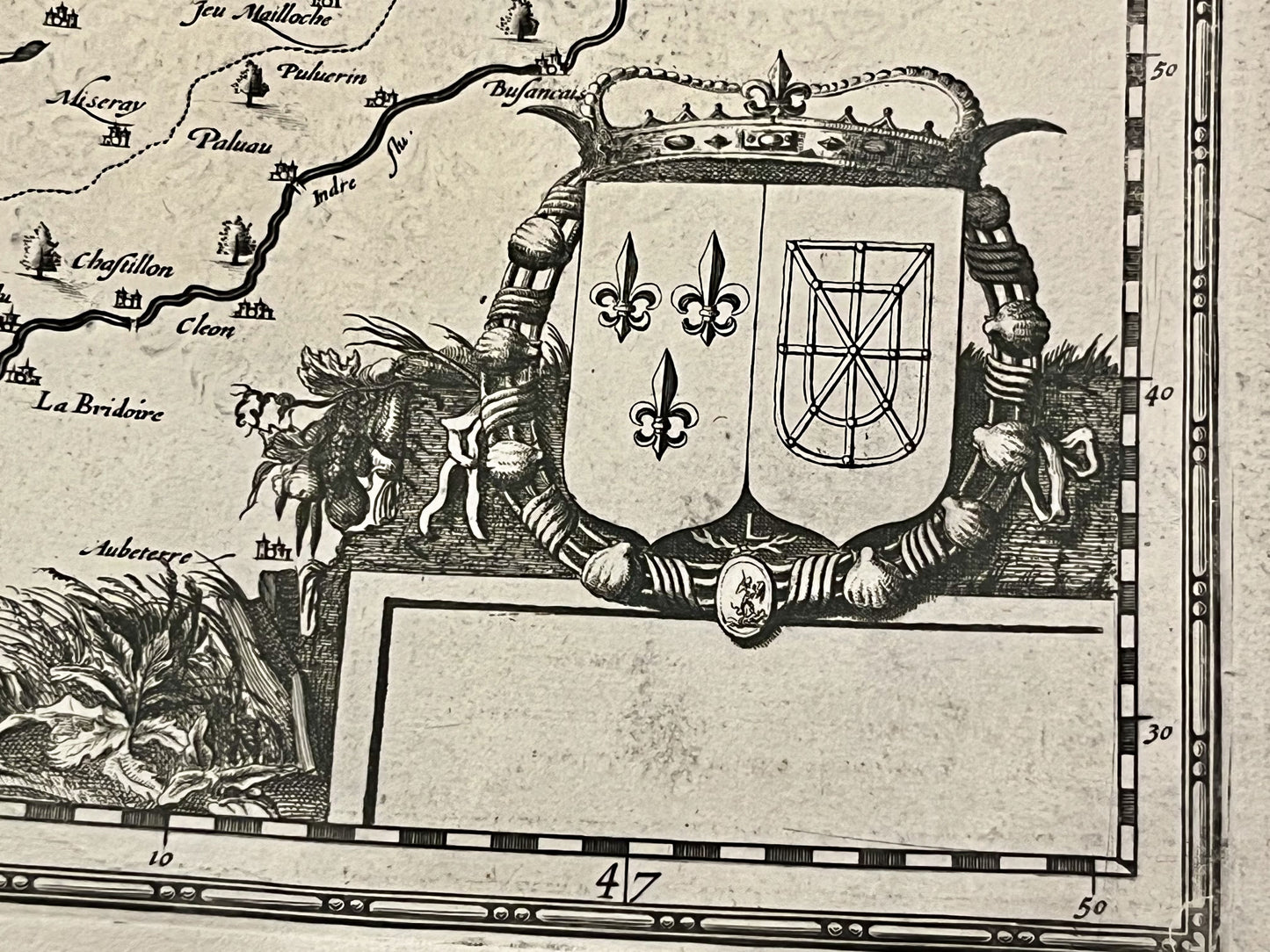
This antique map of Loir-et-Cher dates from the mid-17th century and measures 56x48cm. It depicts every town and village in the Blaisois region. It was created by the French cartographers J. Leclerc and M. Tavernier and published by J. Janssonius.
Condition:
Central crease and warped paper. Please note, my maps are old and not always in perfect condition!
Main cities represented:
Amboise, Blois, Beaugency, Vendôme,...


-

Secure payment
-

Careful shipping
-

No reproduction
-

Satisfied or refunded


-

“Hello, thank you for sending this, the cards are superb!”
Jean-Philippe
-
"They are very beautiful, just need to frame them! Thank you"
Baptiste
-
"Fast shipping and very good tracking."
Alice
-
"My husband loved the maps I gave him for Christmas!"
Solène
