


Antique map of Boulogne-sur-Mer and its surroundings by the Dépôt de la Guerre - 1837
Antique map of Boulogne-sur-Mer and its surroundings by the Dépôt de la Guerre - 1837
Couldn't load pickup availability
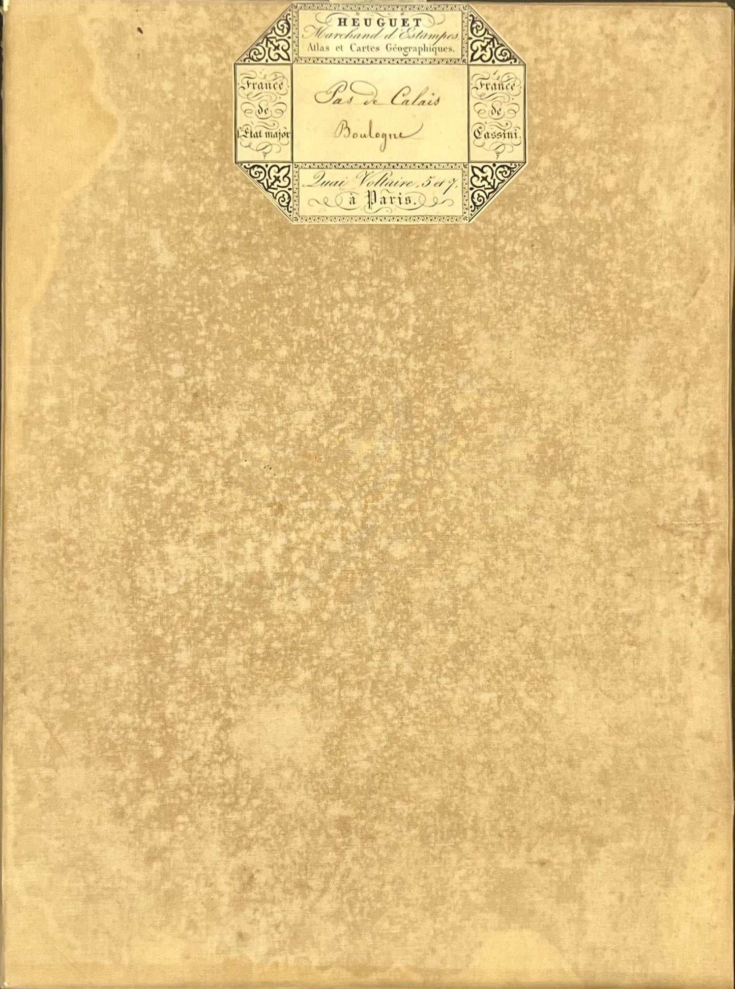
This antique French General Staff map of Pas-de-Calais titled "Boulogne" (No. 3) was produced by the Dépôt de la Guerre and published in 1837. It is linen-backed and measures 85x57.5cm.
Condition:
Linen worn, small holes in places, stains. Please note, my maps are old and are not always in perfect condition!
Main places represented:
Dannes, Neufchâtel-Hardelot, Widehem, Hubersent, Halinghen, Samer, Lacres, Bezinghem, Doudeauville, Questrecques, Carly, Condette, Isques, Hesdin-l'Abbé, Longfossé, Outreau, Echinghen, Baincthun, Boulogne-sur-Mer, Wirwignes, Bellebrune, Crémarest, Bournonville, Henneveux, Colembert, le Wast, Belle-et-Houllefort, Pernes-lès-Boulogne, Pittefaux, Wimille, Wimereux, Offrethun, Wacquinghen, Beuvrequen, Marquise, Rinxent, Hardinghen, Hermelinghen, Boursin, Bazinghen, Ambleteuse, Leulinghen-Bernes, Ferques, Landrethun-le-Nord, Fiennes, Audembert, Tardinghen, Wissant, Hervelinghen, Bonningues-lès-Calais, Saint-Tricat, Guines, Hames-Bouvres, Hervelinghen, Peuplingues, Escalles


-

Secure payment
-

Careful shipping
-

No reproduction
-

Satisfied or refunded


-

“Hello, thank you for sending this, the cards are superb!”
Jean-Philippe
-
"They are very beautiful, just need to frame them! Thank you"
Baptiste
-
"Fast shipping and very good tracking."
Alice
-
"My husband loved the maps I gave him for Christmas!"
Solène
