


Antique map of the Bourbonnais region by J. Blaeu - ca. 1630
Antique map of the Bourbonnais region by J. Blaeu - ca. 1630
Couldn't load pickup availability
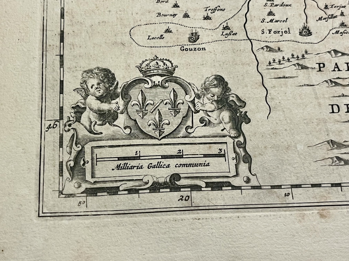
This antique map of the Bourbonnais region dates from the mid-17th century and measures 56.5x48cm. It depicts every town and village of the Bourbonnais, a historical region roughly corresponding to the present-day department of Allier. It was published by the Dutch cartographer J. Blaeu.
Condition:
Central crease, minor stains and tears, and slightly warped paper. Please note, my maps are vintage and not always in perfect condition!
Main cities represented:
Moulins, Souvigny, Nevers, Varennes-sur-Allier, Lapalisse, Vichy, Gannat, Cosne-d'Allier, Bourbon-l'Archambault, Charenton,...


-

Secure payment
-

Careful shipping
-

No reproduction
-

Satisfied or refunded


-

“Hello, thank you for sending this, the cards are superb!”
Jean-Philippe
-
"They are very beautiful, just need to frame them! Thank you"
Baptiste
-
"Fast shipping and very good tracking."
Alice
-
"My husband loved the maps I gave him for Christmas!"
Solène
