


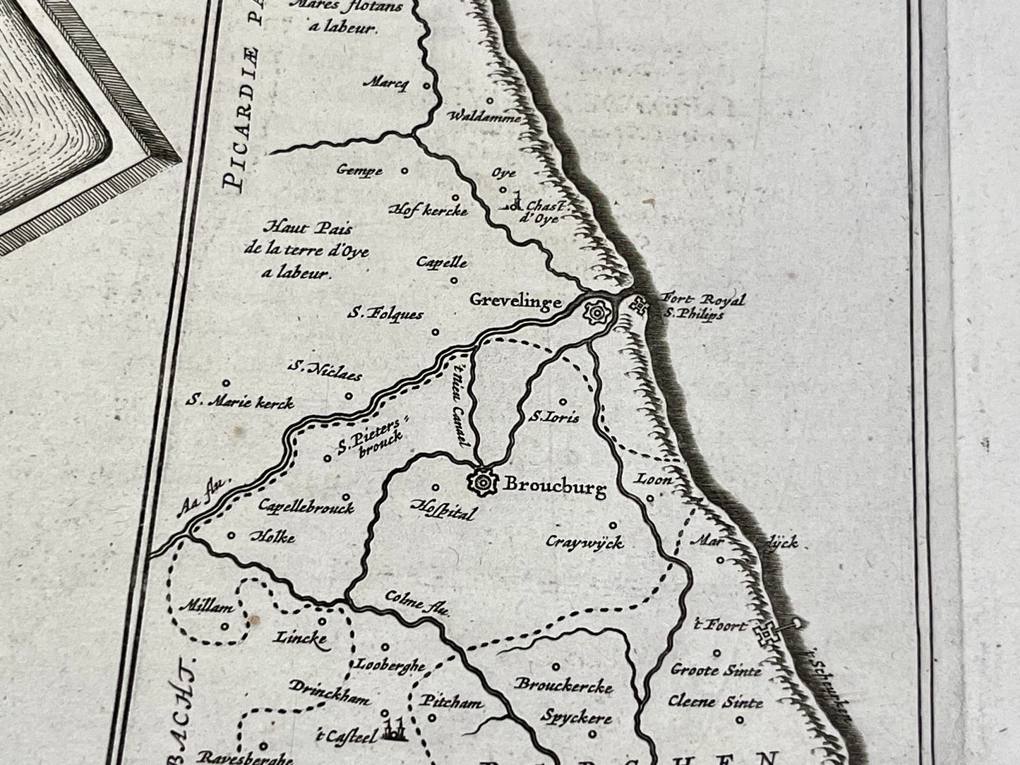
Antique map of Bourbourg by J. and W. Blaeu - ca. 1650
Antique map of Bourbourg by J. and W. Blaeu - ca. 1650
Regular price
240,00 €
Regular price
Sale price
240,00 €
Unit price
per
Taxes included.
Couldn't load pickup availability
This antique map of Bourbourg, Nord, was published in the mid-17th century and drawn by the famous Dutch cartographers Joan and Willem Blaeu. Its dimensions are 61.5x51.5cm.
Condition:
Good condition, central crease. Please note, my maps are old and not always in perfect condition!


-

Secure payment
-

Careful shipping
-

No reproduction
-

Satisfied or refunded


-

“Hello, thank you for sending this, the cards are superb!”
Jean-Philippe
-
"They are very beautiful, just need to frame them! Thank you"
Baptiste
-
"Fast shipping and very good tracking."
Alice
-
"My husband loved the maps I gave him for Christmas!"
Solène
