


Antique map of Brabant - Brussels - by W. Blaeu - ca. 1640
Antique map of Brabant - Brussels - by W. Blaeu - ca. 1640
Regular price
250,00 €
Regular price
Sale price
250,00 €
Unit price
per
Taxes included.
Couldn't load pickup availability
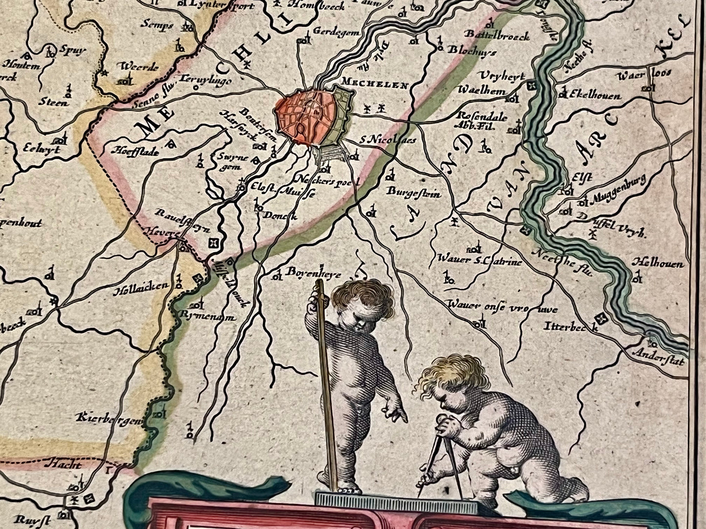
This antique map of Belgium covers part of Brabant and includes the cities of Brussels and Leuven. It was drawn and published by the Dutch cartographer Willem Blaeu in the mid-17th century. The map measures 58.5x50.5cm.
Condition:
Good condition, minimal stains. Please note, my maps are old and not always in perfect condition!


-

Secure payment
-

Careful shipping
-

No reproduction
-

Satisfied or refunded


-

“Hello, thank you for sending this, the cards are superb!”
Jean-Philippe
-
"They are very beautiful, just need to frame them! Thank you"
Baptiste
-
"Fast shipping and very good tracking."
Alice
-
"My husband loved the maps I gave him for Christmas!"
Solène
